Gray Sky: Tropical Cyclone Alfred

Tracking Alfred’s Impact

Saturday, March 8

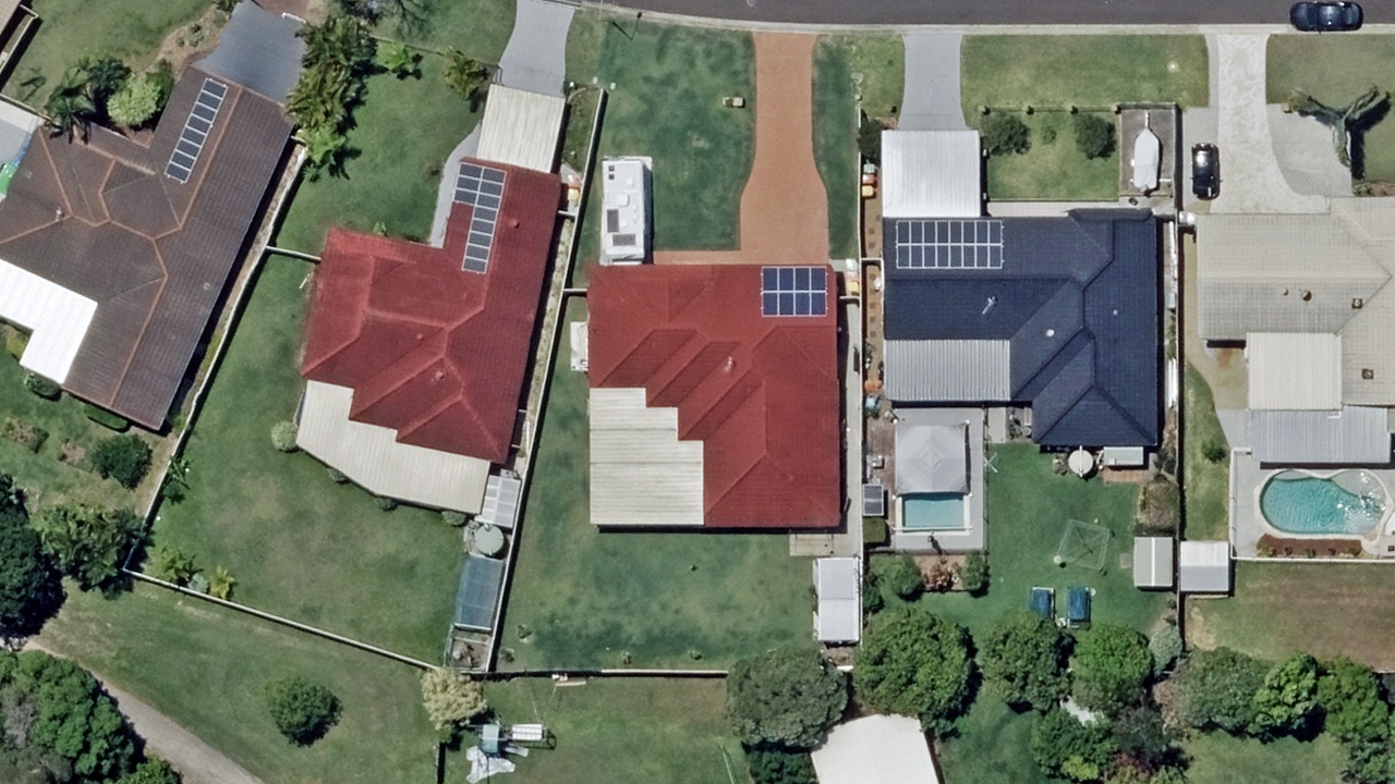
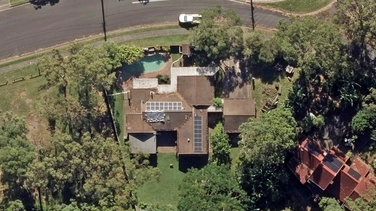
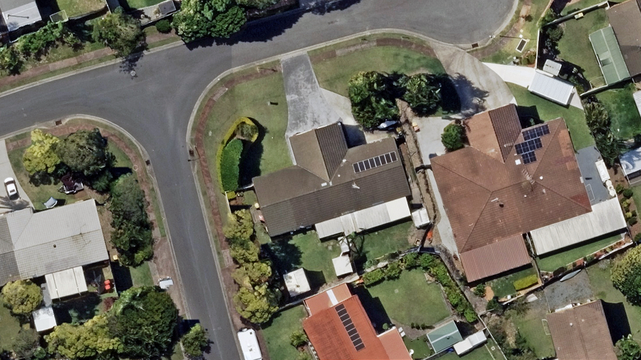
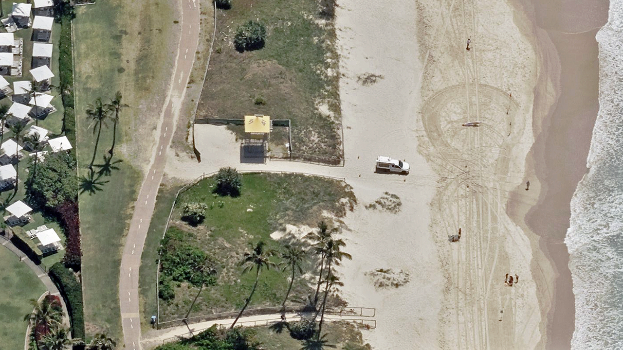
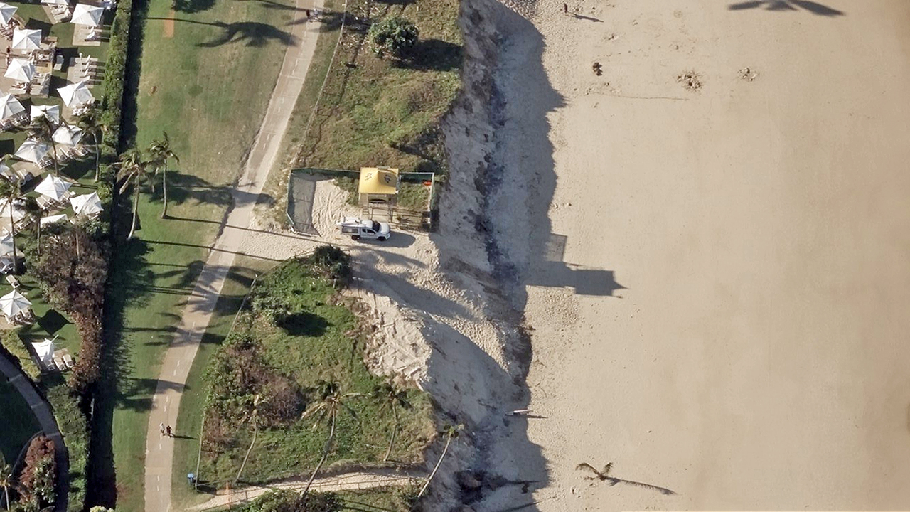
Tropical Cyclone Alfred first made landfall as a Category 1 storm, bringing heavy rainfall and strong winds. The storm has since weakened into a tropical storm but continues to move slowly inland, causing widespread rain, flooding, and damage in Brisbane and surrounding east coast regions.

Our Gray Sky team remains fully activated, closely monitoring the storm’s movement and its impact. We are working with partners to assess conditions and waiting for a safe weather window to begin aerial imagery collection, enabling us to capture high-resolution data of targeted areas as soon as possible.

We will provide further updates as conditions evolve and will deploy our aircraft when weather allows. Stay tuned for more information on our response efforts.

Monitoring Tropical Cyclone Alfred

Thursday, March 6

Our Gray Sky team is fully activated and closely monitoring Tropical Cyclone Alfred as it approaches the Australia’s eastern coast around Brisbane. Our aircraft are positioned and ready to collect high-resolution imagery.

Based on feedback from Australian customers and partners, as well as the latest storm models, we have created an initial list of collection areas. However, this list may change as the cyclone progresses. This will likely be a wide-scale, multi-day collection depending on the storm’s final path. Our focus will be on collecting high-resolution imagery of populated areas with property damage.

We are actively working with government agencies, insurers, and other organizations to prioritize collection areas and support response and recovery efforts.

More Info

Our thoughts go out to all communities affected and responders in the path of this storm. Let us know how we can support, and stay tuned for updates. If you need access to imagery, please contact us below.