30+ countries
80% of Australia population
56% of New Zealand population
6 best-in-class products
PRODUCTS OVERVIEW
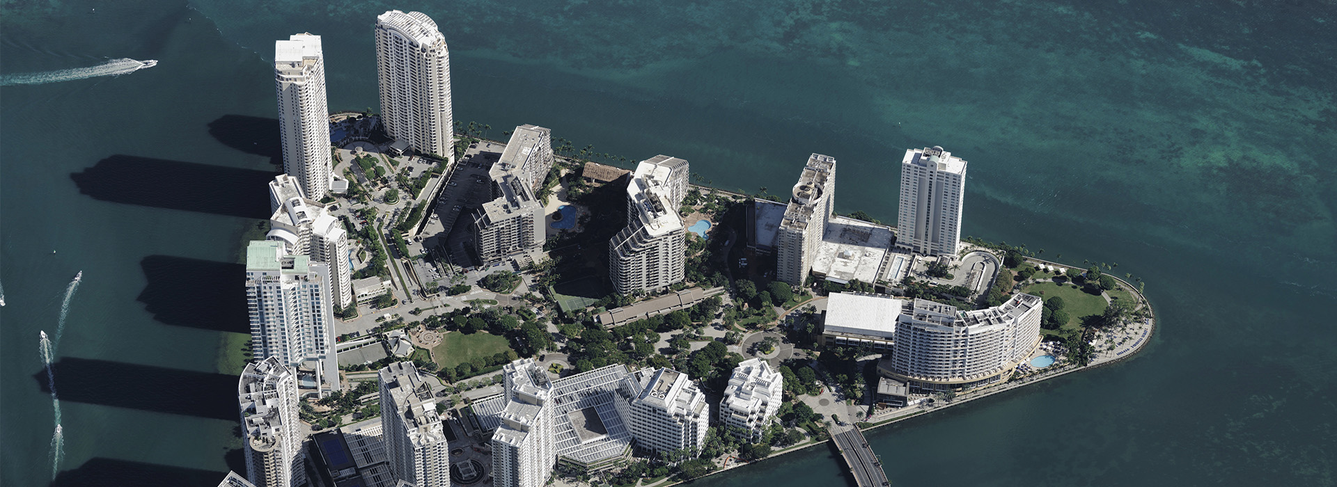
Oblique
Get a complete view of your site with images from all four cardinal directions—north, south, east, and west. See properties collected at a 45-degree angle at a 7.5cm resolution.
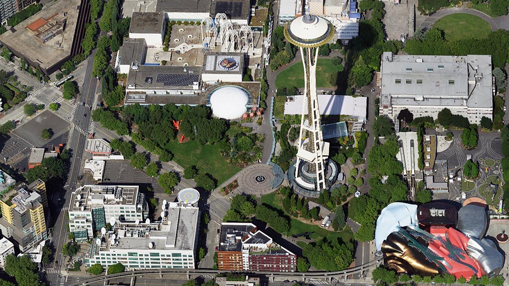
TrueOrtho
At a resolution of 7.5cm, True Ortho imagery helps you see your area of interest in stunning clarity and without building lean. Easily distinguish between objects on the ground and take accurate measurements of area.
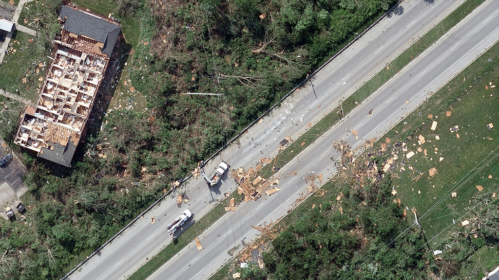
Disaster Imagery
Vexcel collects select natural disasters across the globe, including hurricanes, bushfires, tornados, floods and more. It has active response programs in the U.S., and on-demand programs in Australia, New Zealand, Japan, and parts of Europe.
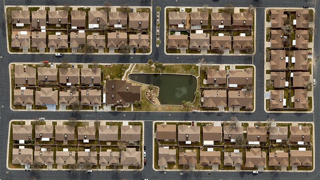
Multispectral
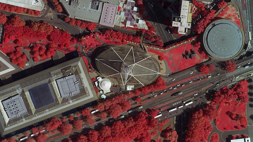
Elevate your property evaluation to the next level with colour-infrared (CIR) imagery. This specialised imagery is derived from near-infrared data captured by our advanced aerial sensors, and it provides valuable information for classifying vegetation, identifying impervious surfaces, and more. With CIR imagery, you can make more informed decisions about your property and gain deeper insights.
Elevate
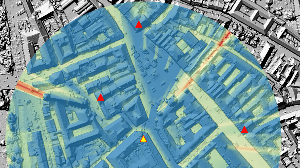
Digital surface model (DSM) data provides a clear view of the surface of the ground and man-made objects. Incorporate elevation data into your preferred platform to power automatic feature extraction and machine learning applications, and gain better insights into your project.
Elements
Take property insights even further with Elements, the best way to view more than 30 attributes for every building and property in our aerial collections. It’s instant information, helping transform your decision-making with reliable and current data.

