It’s More Than Just Location Intelligence
Aerial imagery is more than just what meets the eye; it’s about taking you to a construction site, to a growing neighborhood, to expanding 5G networks, to the next generation of smart cities. It’s about helping you connect to the environment and framing opportunities and solutions in a whole new way. It’s Vexcel data for your industry needs.
Government
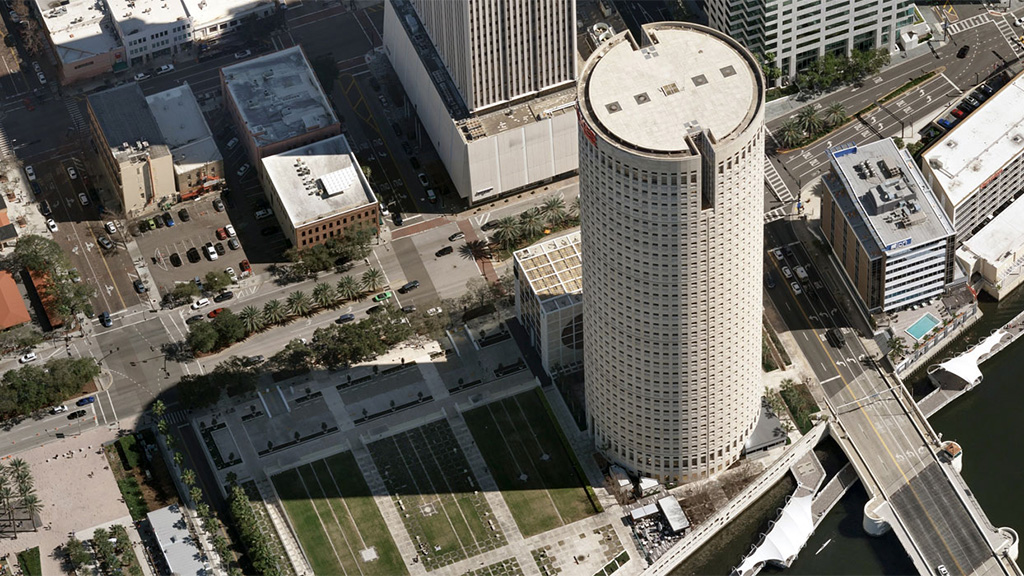
The focus for urban planners and government entities is developing the future smart cities of America. Whether it’s to improve infrastructure and services, enhance sustainability and livability, it all starts with accurate geospatial technology.
Utilities
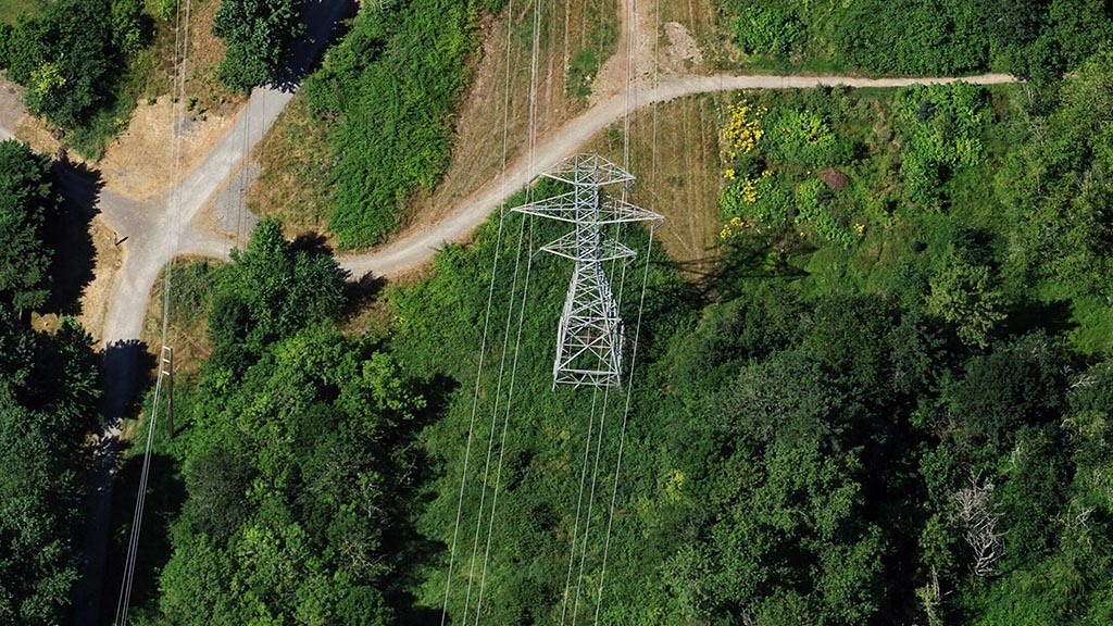
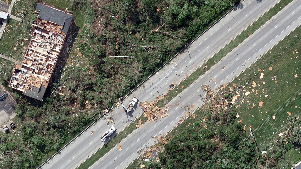
Maintaining high-functioning utilities with growing populations is a challenge, especially when it involves restoring functionality after major disasters. Use Vexcel data to help take ownership of ground assets with greater ease and confidence.
Telecom
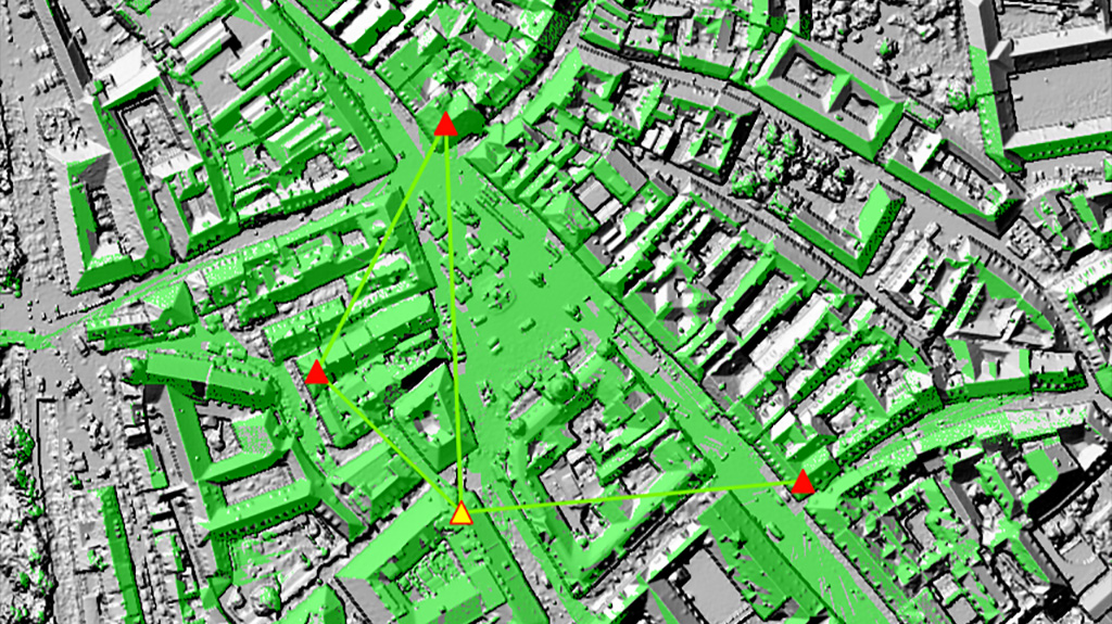
The next wave of communications is here with 5G networks rolling out around the world. Vexcel’s DSM and ultra-high-resolution aerial imagery improves decision-making for telco providers nationwide. Improve line-of-sight calculations and tower placement with high-res aerial data.
AEC
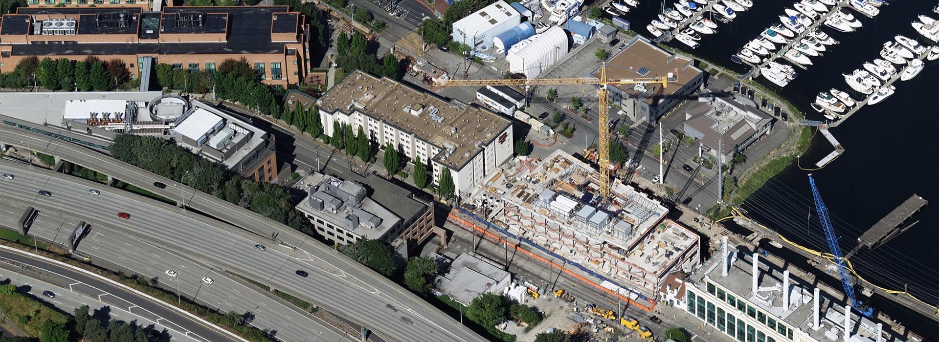
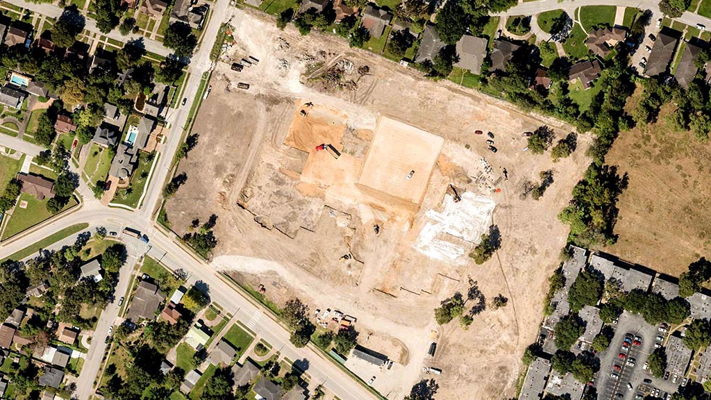
Generate better, more accurate location insights for every stage of the project life cycle. Use highly detailed imagery to make measurements on property locations, turn around bids faster for customers, and deliver eye-popping presentations in high resolution.
Insurance
Aerial imagery has become an insurer’s best friend, offering new intelligence on properties pre- and post-disaster to help improve the book of business and respond to customers in a more timely, proactive manner.
Energy
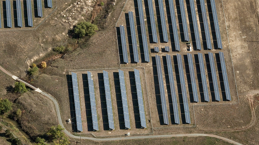
Regular monitoring of energy infrastructure is time consuming, but better ways of tracking and analyzing systems are available through the use of high-resolution aerial imagery. Keep tabs on vegetation encroachment and reduce on-site inspection time with Vexcel data.

