A History of Photogrammetry Leadership
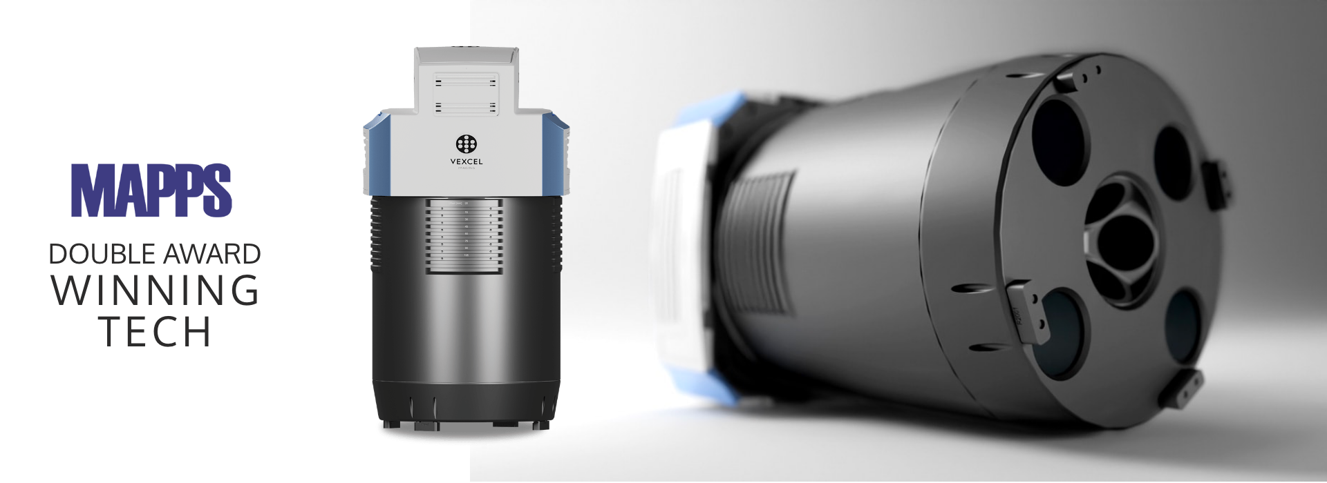
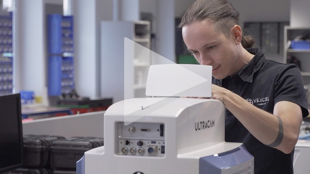
As the industry leader in photogrammetric and remote sensing expertise for nearly 30 years, Vexcel continues to create and develop products that shape the aerial imagery business. This encompasses the highly sought-after line of UltraCam camera systems. Using its own cameras, the Vexcel Data Program currently captures imagery in the U.S., Canada, U.K., Europe, Australia, New Zealand, and Puerto Rico.
End-To-End Technology
Innovation and versatility come naturally when you have a complete end-to-end technology solution like Vexcel’s. From the market-leading camera systems to imagery capture, cloud-based tools to APIs, customers get access to real location intelligence with consistent, accurate data at an enterprise level.
Advanced Aerial Operations
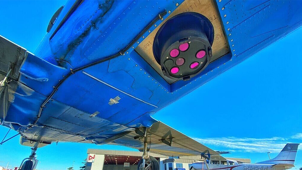
Vexcel Group owns and manages its fleet of aircraft and aerial operations. This allows the flexibility to place aircraft where it’s needed most, especially following natural disaster events. From regularly scheduled aerial data collections to meeting on demand needs of customers, Vexcel provides the ultimate imagery offering with superior support and customer service.


