Aerial Imagery for Catastrophic Weather
Summer is nearly here, a time for high temperatures, fast moving winds, and growing catastrophic weather events. With a drought impacting most of the Western United States, high winds across the plains states, and pressure systems in oceanic air creating problems along the East Coast, the danger for disastrous weather is heightened.
According to the World Meteorological Organization, the number of weather-related disasters has increased by a factor of five over the last 50 years, mostly due to climate change. NASA even put together a spiral chart indicating how the global temperature has risen between 1880 and 2021.
Disaster Imagery is More Important Than Ever Before
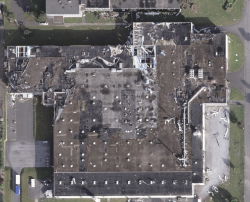
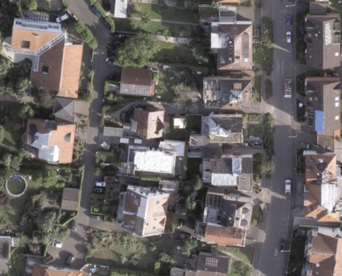
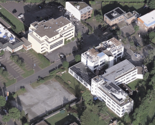
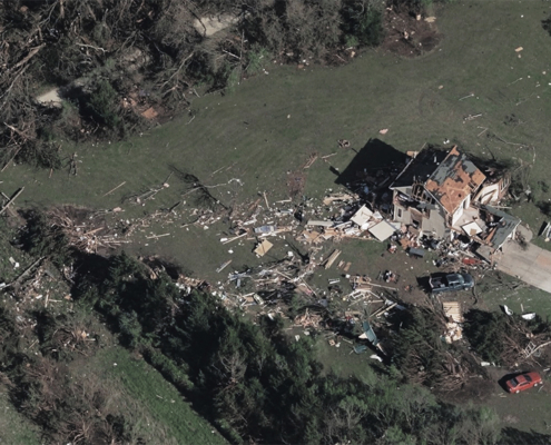
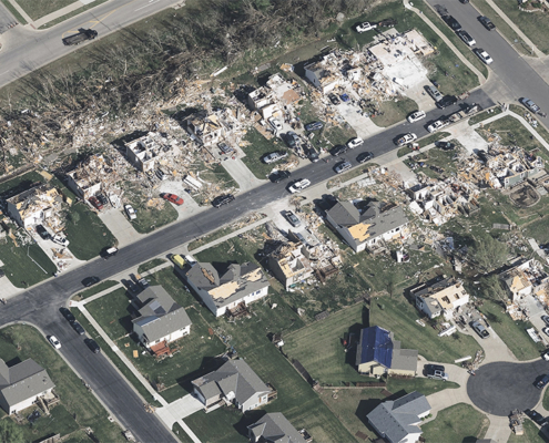
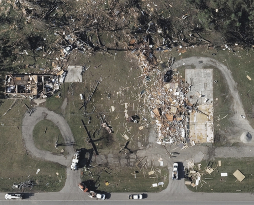
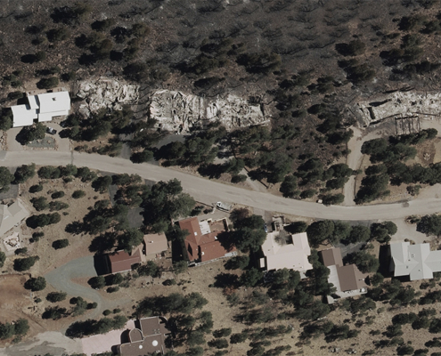
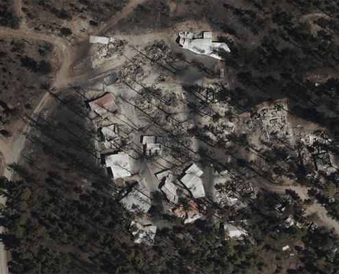
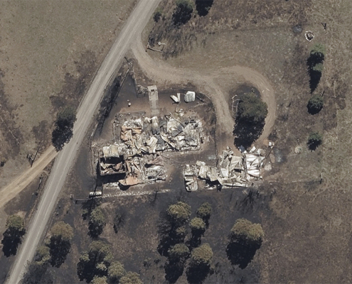
Vexcel collects high-resolution aerial imagery after major disasters such as hurricanes, wildfires, and tornados and has been since 2017. Serving as the operations partner for the Geospatial Insurance Consortium (GIC), Vexcel provides imagery quickly to insurers, emergency managers, and other government entities who need to identify, validate, and confirm what exists on the ground after a catastrophe.
While the majority of Vexcel’s disaster imagery collection has been in the United States, it is not dedicated solely to just this one country; over the past several years, Vexcel captured bushfires and massive hailstorms in Australia, as well as flooding and tornados in Germany.
Aerial Imagery Made for Analytics
The growing weather catastrophes means more information to process, more images to sort through, more lives heavily impacted and changed forever. To help our customers tackle these challenges head on and to ease workflow constraints, we announced this past week a new product as part of our Elements group: Damage Assessment.
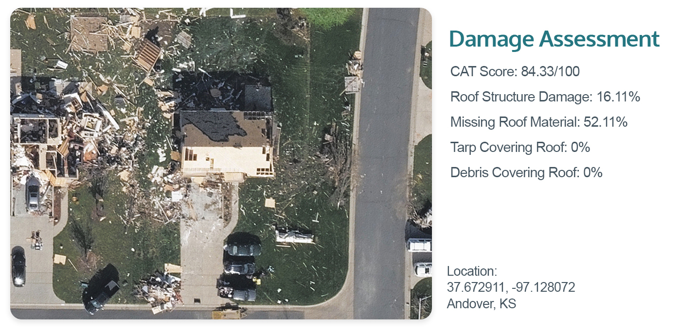
The new product helps calculate valuable property insights within seconds after major wind and fire events. Through the application of machine learning, end users can quickly identify the destruction to a structure. These rapid property insights are available on all built structures that fall within a natural disaster impacted zone. A sample report of what is immediately calculated is featured below and highlights an overall CAT score and FEMA classification, as well as other vital information including debris on a roof, condition of the roof, missing material, and tarp coverage.
Get Started with Accurate, High-res Aerial Data
Whether you’re part of a government entity or work in the AEC industry, our disaster imagery can help you respond and be better prepared before the next big event occurs. To learn more and see urban and rural aerial imagery in your area, fill out the form below for a custom demo.

