Gray Sky Event: Deadly Tornado in Perryton, Texas
A violent tornado tore across North Texas on Thursday evening, June 15, causing massive destruction and devastating local communities. The hardest hit area was the Texas Panhandle city of Perryton, a city of 8,000 that found themselves awash in debris. The tornado touched down and stayed on the ground for roughly 8 miles before it dissipated, but not before destroying homes, injuring hundreds, and killing 4 people.
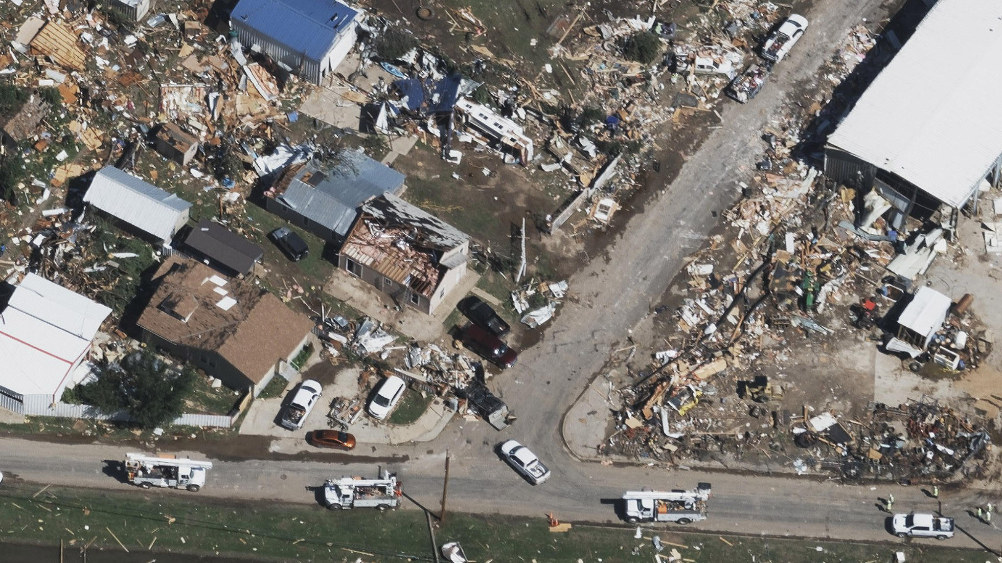
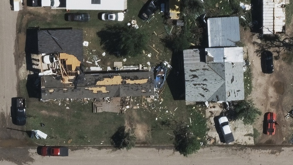
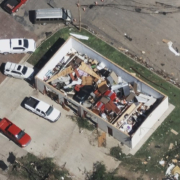
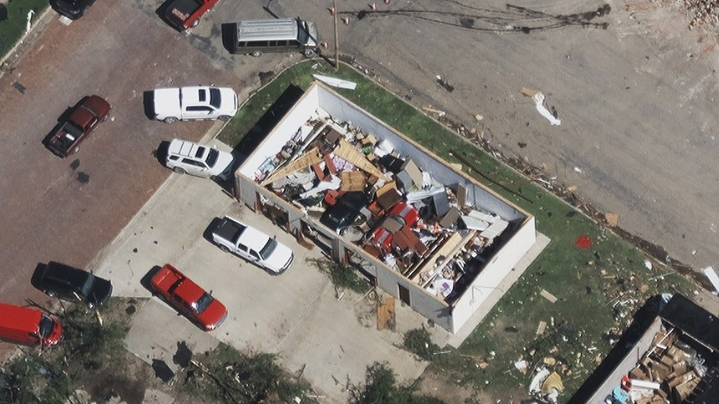
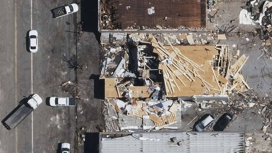
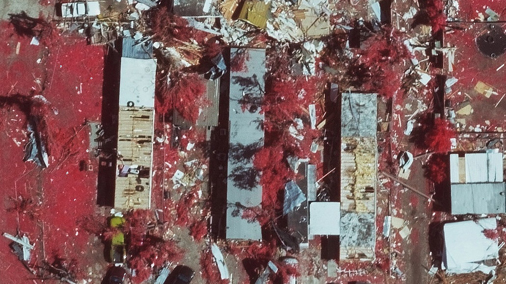
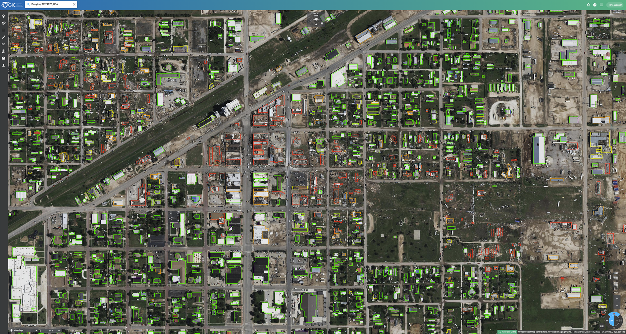
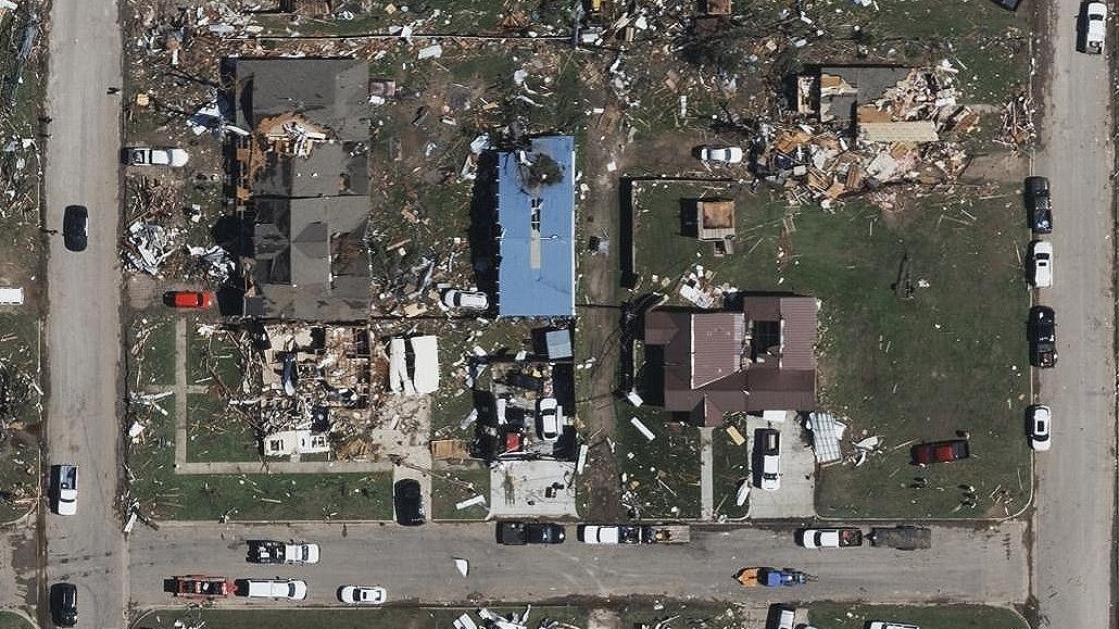
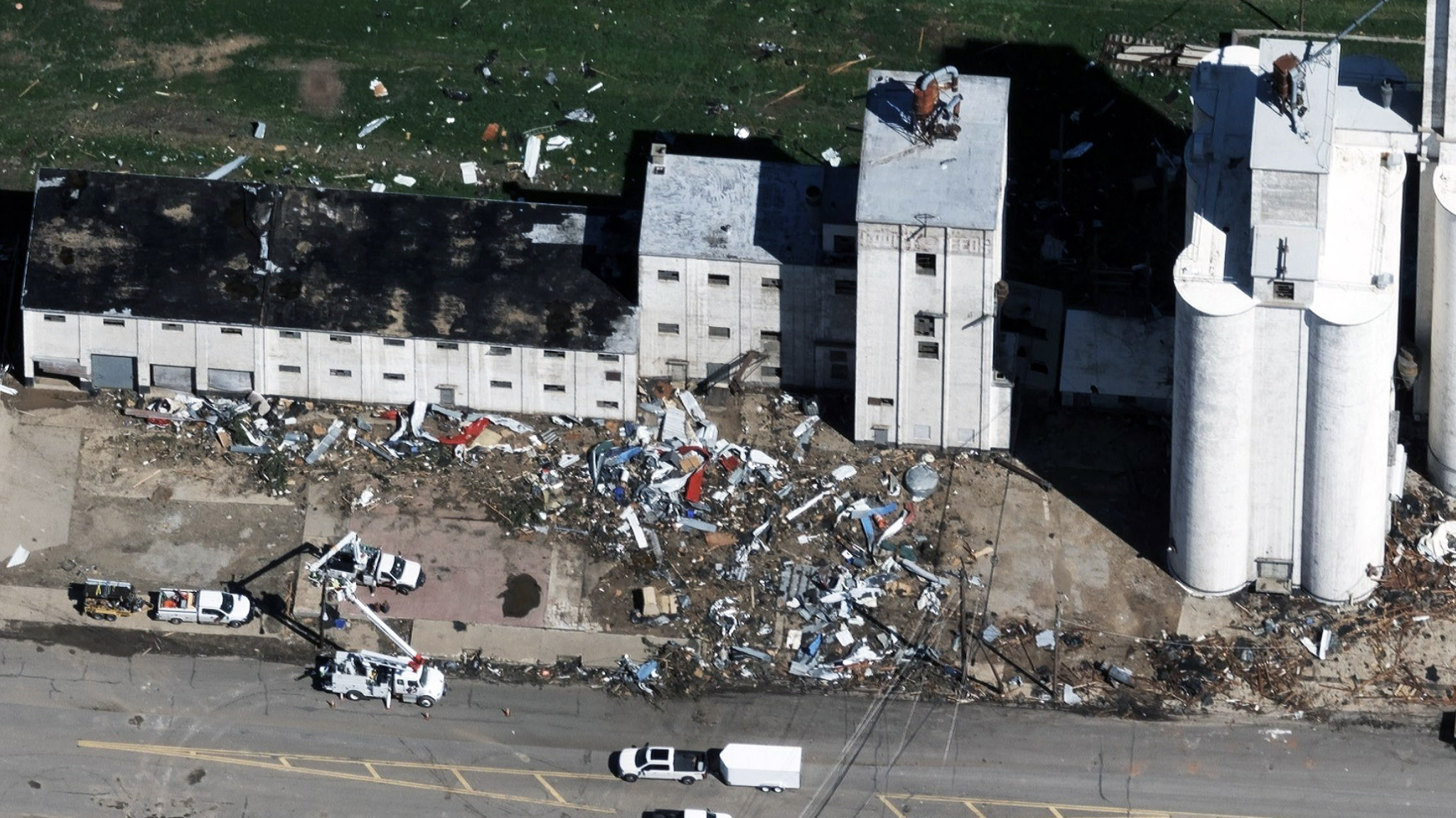
Our Gray Sky team monitored the situation and was able to get a plane up into the sky the following morning, capturing the aftermath of a tornado with high-resolution aerial imagery, including both Oblique and Ortho views. The highly detailed imagery allows our GIC members and emergency managers the ability to quickly assess the level of impact to the local community.
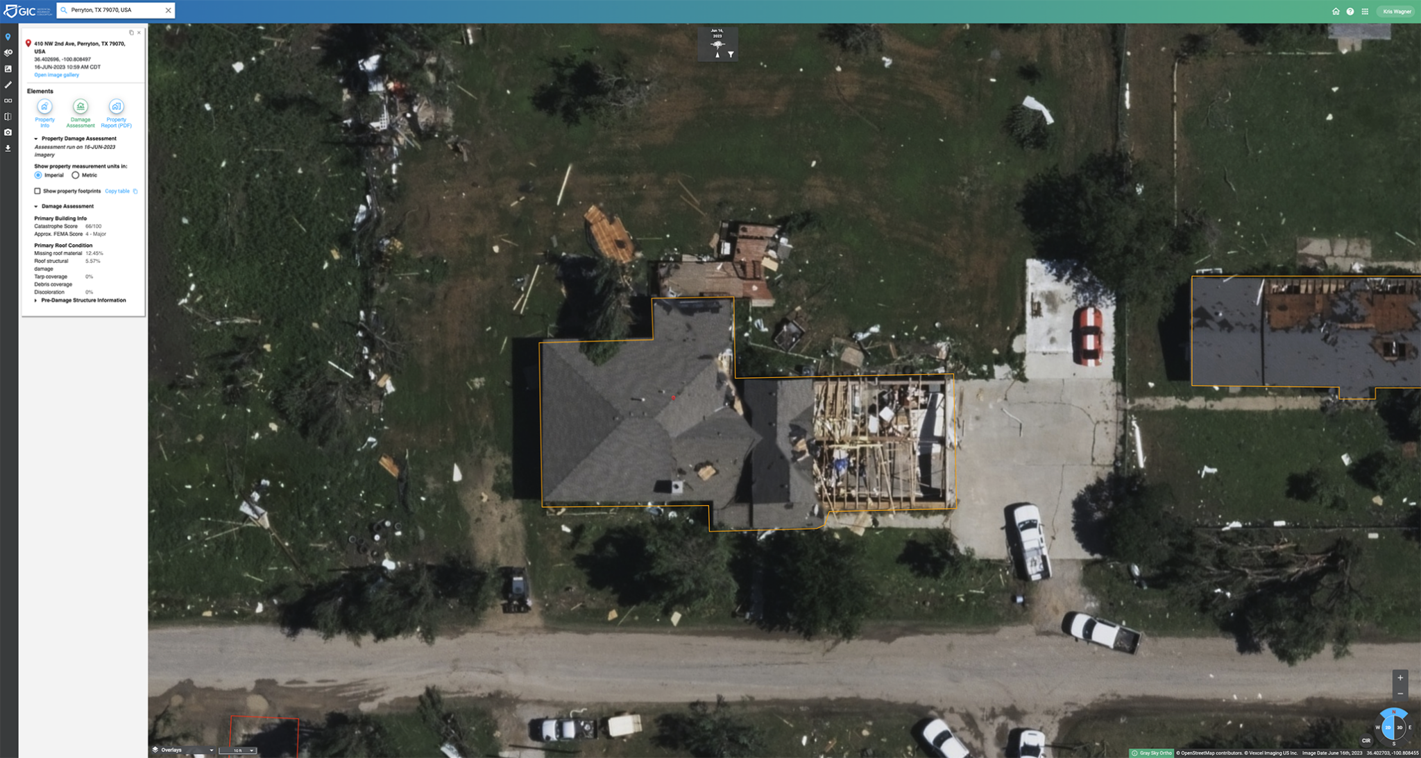
In addition to the multiple views, Damage Assessment is also computed for areas captured in the Gray Sky collection. Damage Assessment delivers automated insights on each home captured in the impact zone. In seconds, insurers can understand which customers suffered damage or a total loss and they can proactively begin helping them before a claim is even filed.
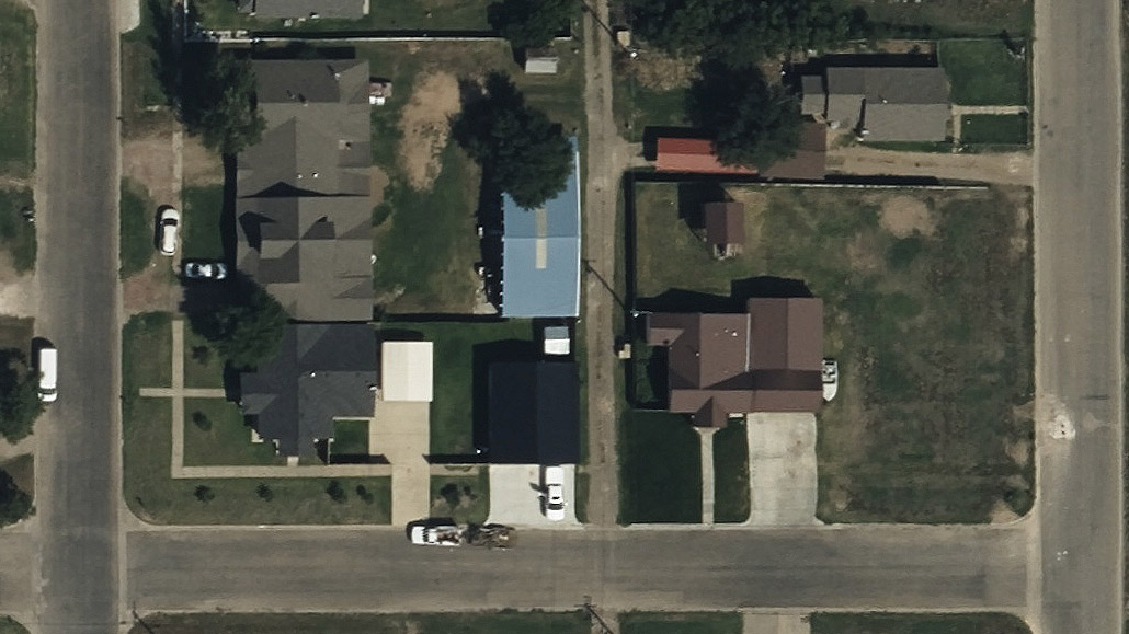
View before and after images and get a small glimpse into the level of detail our Gray Sky program provides for members and emergency managers. With 99% of the U.S. already collected and in our image library, insurers can see what existed before to compare the level of loss to the Gray Sky imagery. The previous ortho images were collected by Vexcel, our operations partner, in September 2022.

