Gray Sky Event: Borel Fire, California
High-Resolution Aerial Imagery of Borel Fire Now Available
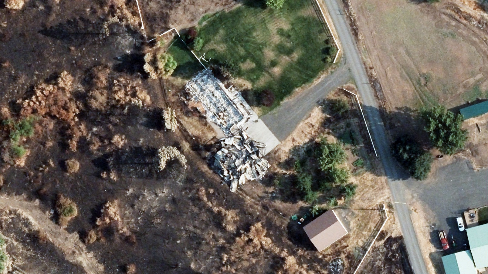
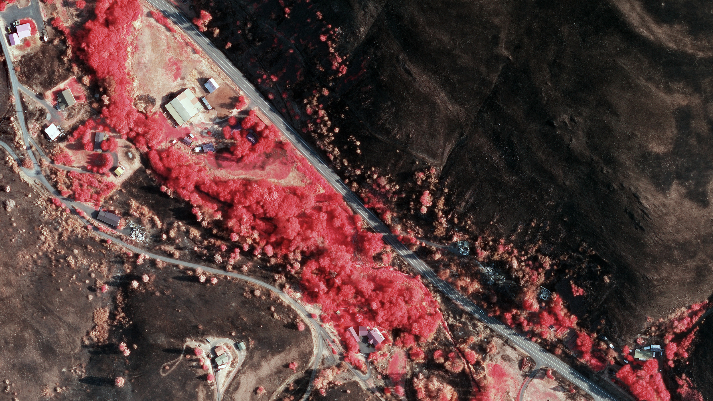
In response to the devastating Borel Fire in California, the GIC, in collaboration with its operations partner Vexcel, has completed and processed the collection of high-resolution aerial imagery.
This imagery, captured on Saturday, August 3, is now available and covers areas and properties damaged by the fire, providing invaluable data for insurers and local and state government agencies.
Background:
The Borel Fire in Kern County, California, began on July 24 and has burned 57,304 acres. The cause of this fire is still under investigation.
Imagery Collection Details:
Our flight crew captured high-resolution ortho and multispectral imagery at a 10cm resolution. The coverage area spans approximately 435 square kilometers (168 square miles), focusing on areas with property damage in the mountainous region between Bakersfield, CA, and Bodfish, CA.
The high-resolution imagery collected supports comprehensive damage assessment, aiding in accurate evaluation, claims response, and efficient resource allocation for recovery efforts.


