Vexcel Data Program
  • Home
  • Products
    • Overview
    • Oblique
    • Ortho
    • 3D Cities
    • Elements
    • Elevate
    • Gray Sky
    • Multispectral
    • On Demand
  • Industries
    • Overview
    • Government
    • Telecom
    • Utilities
    • Insurance
      • Underwriting
      • Claims
      • SIU
    • Financial Services
    • Energy
    • AEC
    • HD Maps
    • Smart Cities
  • Coverage
  • Technology
    • Overview
    • Platform
      • MapControl SDK
      • Image Services for ArcGIS
    • Partners
    • Viewer
  • Stories
  • About
  • Login
  • Get a Demo
  • Menu Menu

Manage Energy Assets with Aerial Data

Use high-resolution aerial data to better manage assets more efficiently and track environmental changes with current and historical imagery.

Connecting Electricity, Oil, and Gas with Imagery

Oversee your assets across the energy sector with clear, accurate aerial imagery from Vexcel. Bring greater oversight and increased situational awareness to your projects with data that allows you to mitigate risks, stay competitive, and keep ahead of environmental impacts.

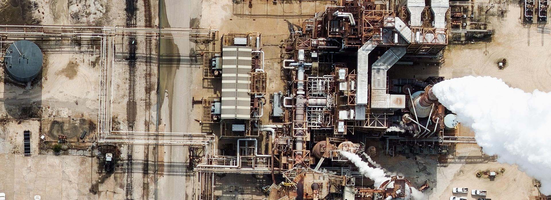
Improved Corridor Intelligence

Managing the immense stretch of energy assets across the country is daunting; electric and pipeline corridors crisscross all over the land, city-sized solar farms are reaching into every rural areas. The demand for monitoring energy infrastructure has never been greater. Location intelligence has become an invaluable resource to help energy managers with reliable, accurate data. Combined with AI/ML capabilities, quickly extract data to assess environmental impact, perform site exploration, and more.

Maximizing Renewable Energy

Aerial data is paving a new way for detecting and assessing renewable energy sources. With Vexcel’s comprehensive library, scan dense urban areas and use AI/ML to identify the number of solar panels within a given area. Take advantage of Vexcel’s nationwide coverage to map wind farms, monitor the infrastructure, and plan for new energy resources on into the future.

View aerial imagery. Plan projects. Get Viewer for free.

Learn More

Products

Oblique
Ortho
3D Cities
Elements
Elevate
Gray Sky
Multispectral
On Demand

Coverage 
Countries

Industries

Government
Telecom
Utilities
Insurance
Financial Services
Energy
AEC
HD Maps
Smart Cities

Technology

Overview
Platform
Partners
Viewer

About
Stories
Videos
Careers
Help Center

Follow Us


Global Leaders in Aerial Imaging.

Vexcel provides industry-leading camera sensors, a dedicated fleet of fixed-wing aircraft, and the largest, most accurate aerial imagery and geospatial data program on the planet.

Large-format UltraCam cameras & sensors.
vexcel-imaging.com

Aerial surveys by fixed-wing aircraft.
kasurveys.com

Aerial imagery and data for government and business.
vexceldata.com

© Vexcel Imaging US, Inc.
  • Privacy Policy
  • Terms of Use
  • EULA
  • Worldwide
  • AU/NZ
Scroll to top

This site uses cookies. By continuing to browse the site, you are agreeing to our use of cookies.

Accept settingsHide notification onlySettings

Cookie and Privacy Settings


How we use cookies

We may request cookies to be set on your device. We use cookies to let us know when you visit our websites, how you interact with us, to enrich your user experience, and to customize your relationship with our website.

Click on the different category headings to find out more. You can also change some of your preferences. Note that blocking some types of cookies may impact your experience on our websites and the services we are able to offer.

Essential Website Cookies

These cookies are strictly necessary to provide you with services available through our website and to use some of its features.

Because these cookies are strictly necessary to deliver the website, refusing them will have impact how our site functions. You always can block or delete cookies by changing your browser settings and force blocking all cookies on this website. But this will always prompt you to accept/refuse cookies when revisiting our site.

We fully respect if you want to refuse cookies but to avoid asking you again and again kindly allow us to store a cookie for that. You are free to opt out any time or opt in for other cookies to get a better experience. If you refuse cookies we will remove all set cookies in our domain.

We provide you with a list of stored cookies on your computer in our domain so you can check what we stored. Due to security reasons we are not able to show or modify cookies from other domains. You can check these in your browser security settings.

Google Analytics Cookies

These cookies collect information that is used either in aggregate form to help us understand how our website is being used or how effective our marketing campaigns are, or to help us customize our website and application for you in order to enhance your experience.

If you do not want that we track your visit to our site you can disable tracking in your browser here:

Other external services

We also use different external services like Google Webfonts, Google Maps, and external Video providers. Since these providers may collect personal data like your IP address we allow you to block them here. Please be aware that this might heavily reduce the functionality and appearance of our site. Changes will take effect once you reload the page.

Google Webfont Settings:

Google Map Settings:

Google reCaptcha Settings:

Vimeo and Youtube video embeds:

Other cookies

The following cookies are also needed - You can choose if you want to allow them:

Privacy Policy

You can read about our cookies and privacy settings in detail on our Privacy Policy Page.

Accept settingsHide notification only