Aerial vs. Drone: What the Power of Scale Can Do
To help understand imagery choices, we’re comparing aerial imagery collected by fixed-wing aircraft to other well-known options. We did a comparison against satellite recently and below is another evaluation of how Vexcel’s aerial imagery compares against drone imagery.
You need imagery that tells a story, provides context, and helps you see the world in a way that supports better decision-making. So, what do you choose and why? There’s often confusion over the type of imagery we provide at Vexcel. We’ve sometimes been mislabeled as drone or satellite. The truth is there are very valuable differences between our imagery—aerial—and other types such as drone.
Drones are cool, they are quick to get in the air, and they can capture 4K footage. But when it comes to large-scale mapping and high-resolution imagery, there’s just no competing with an aerial imagery program like Vexcel’s.
Imagery Sources: Comparing Apples & Oranges
When it comes to comparing aerial imagery to drone imagery, it really is apples and oranges. They may both be imagery solutions, but the scale and applications are vastly different.
In Vexcel’s Data Program, we primarily use two specialized sensors: The Vexcel Imaging UltraCam Condor for wide-area mapping and the UltraCam Osprey for highly detailed urban collections. For this article, we’ll focus on stats from the Condor, our workhorse for collecting large amounts of imagery installed in our highest performance plane. For drone comparisons, we focused on high-performance, workhorse-type drones that collect imagery.
Flight Time Matters
First up: flight duration. Workhorse drones typically max out at 60-90 minutes of flight time for a single collection under ideal conditions: no wind, moderate temperatures, and fresh batteries.
Now compare that to an aircraft equipped with Vexcel camera sensors. Planes with the Condor system can stay airborne on average 5+ hours depending on the mission, weather, sunlight angle, and type of aircraft. That’s a massive productivity gap. Instead of landing frequently to swap batteries and memory cards, our planes fly continuous, overlapping patterns with the ability to capture entire cities or counties in one flight.
What does that look like? Watch this short video to understand collection and flight time better.
Scale Is the Game-Changer
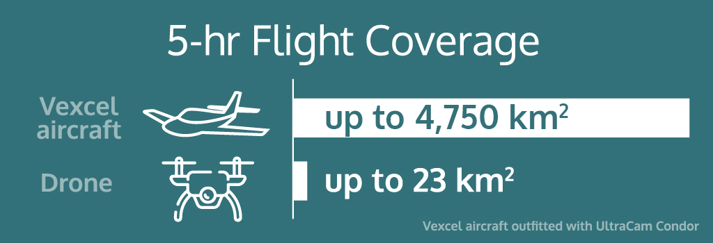
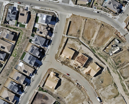
Coverage is where the difference becomes clear and distinctive. A commercial drone flying around the same amount of time as a Vexcel aircraft equipped with the Condor sensor (5 hours), can cover roughly 23 square kilometers (about 9 square miles) in a day, limited again by the need to refresh batteries, weather conditions, and flight restrictions. Drones are perfect for small-scale collections like a building site or neighborhood. Not ideal for big metros or rural areas.
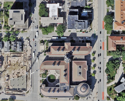
In comparison, a high-performance plane outfitted with the Condor sensor can collect 4,750 square kilometers (over 1,833 square miles) of 15cm imagery in just 5 hours. That’s 200 times the area a drone can collect in the same duration. Or, like capturing the city of Chicago 7.5 times.
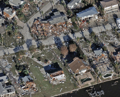
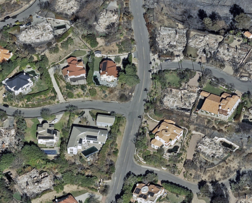
Scale matters. City planners, utilities, insurers, and disaster response teams don’t have weeks to collect drone data. They need broad, consistent, accurate views quickly without losing detail.
Consistency and Resolution in One Package
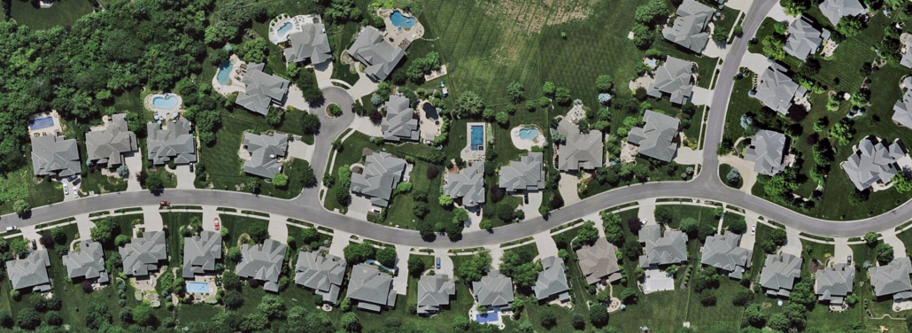
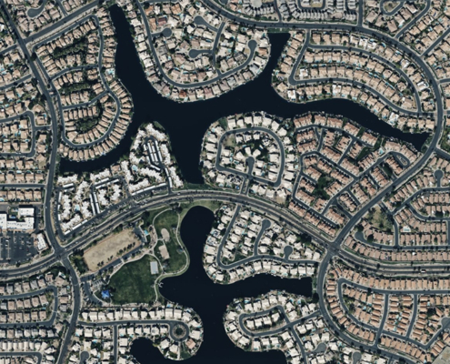
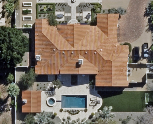
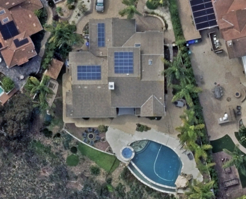
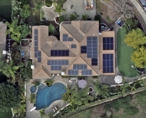
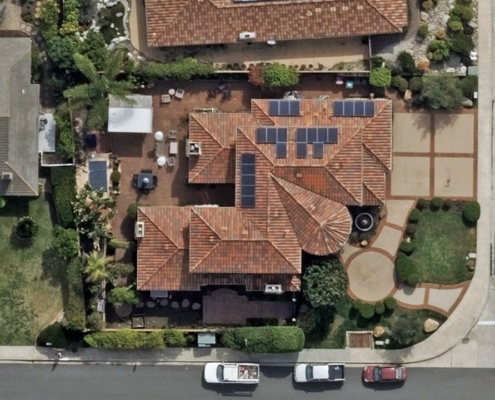
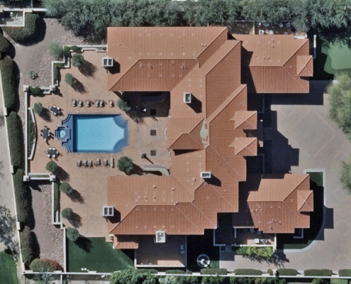
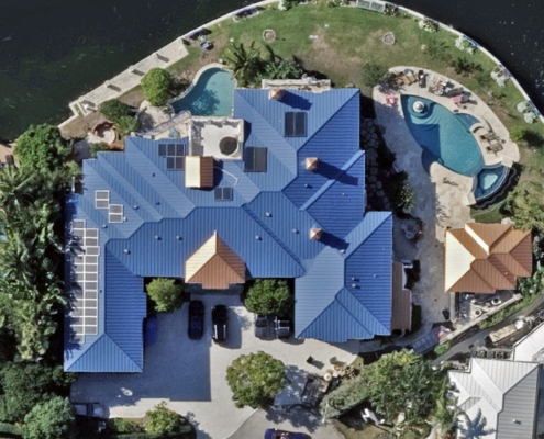
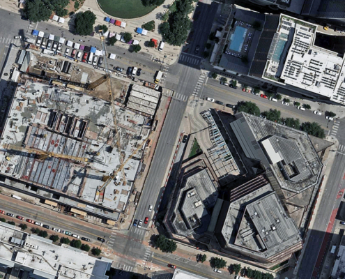
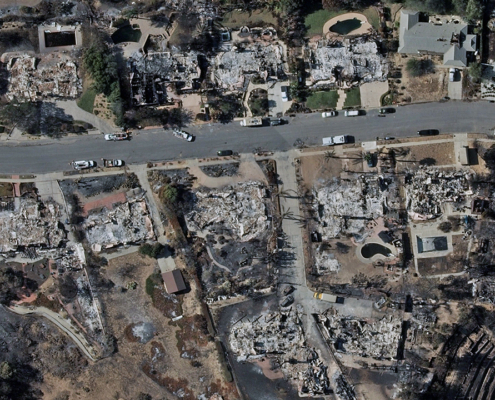
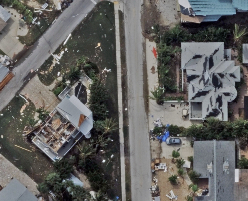
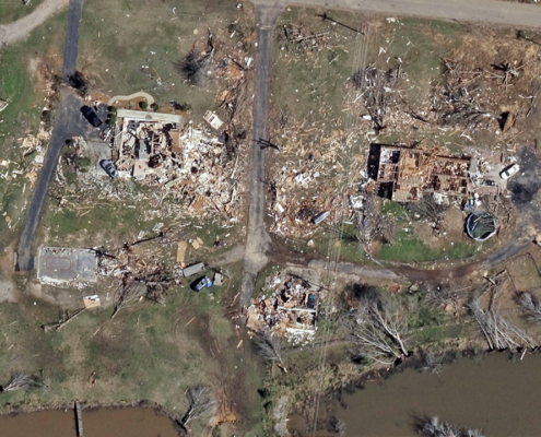
Drones capture high-resolution imagery, but doing it consistently over the same area repeatedly, year after year, is difficult. Vexcel’s camera sensors are optimized to collect imagery at high-resolution which is right in the sweet spot for detailed property analysis and change detection. You see rooftops, roads, vegetation, and infrastructure with stunning clarity and consistency, without having to fly low or dangerously close to obstacles.
And because planes fly in structured, controlled patterns at higher altitudes, you avoid the patchwork, variable-quality imagery that can come with drone missions. Our data is also standardized, processed, stitched, and ready for seamless maps or enhanced project visualization.
Regulatory Freedom and Flight Flexibility
Both drones and planes fall under FAA oversight, but the challenges faced by each are very different.
For drones, the biggest hurdles come from strict line-of-sight rules and altitude limits, especially in and around cities and airports. That means during disasters or in congested areas—the very moments fresh imagery matters most—drones are often grounded.
Fixed-wing aircraft like Vexcel’s fleet, by contrast, operate under filed flight plans and controlled airspace agreements. They fly higher, above restricted zones, and with the clearance to cover vast areas quickly. That makes them far more reliable in fast-moving emergency situations. Vexcel’s fleet follows every regulation while still delivering the speed, scale, and safety customers depend on.
The Right Imagery for the Job
Drones have their place: close-up inspections or short, on-demand flights over small areas. But when you need coverage, consistency, and scale, Vexcel’s aerial imagery program is unmatched.
Drones are tactical. Vexcel imagery is strategic.
When evaluating your imagery needs for urban planning, disaster response, or infrastructure analysis, or even wide-scale programs across cities, regions, and counties, Vexcel has you covered with our comprehensive imagery library and geospatial data.
Bottomline: Vexcel aerial imagery provides the same imagery detail as drones but at a much bigger scale and consistency.

