Aerial Data Across Puerto Rico
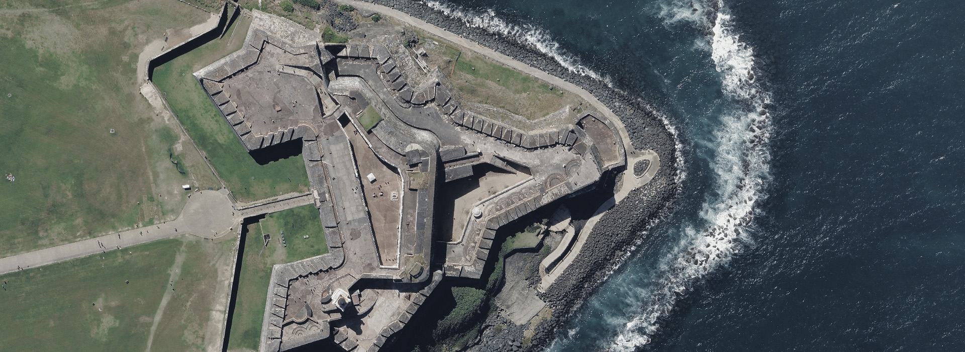
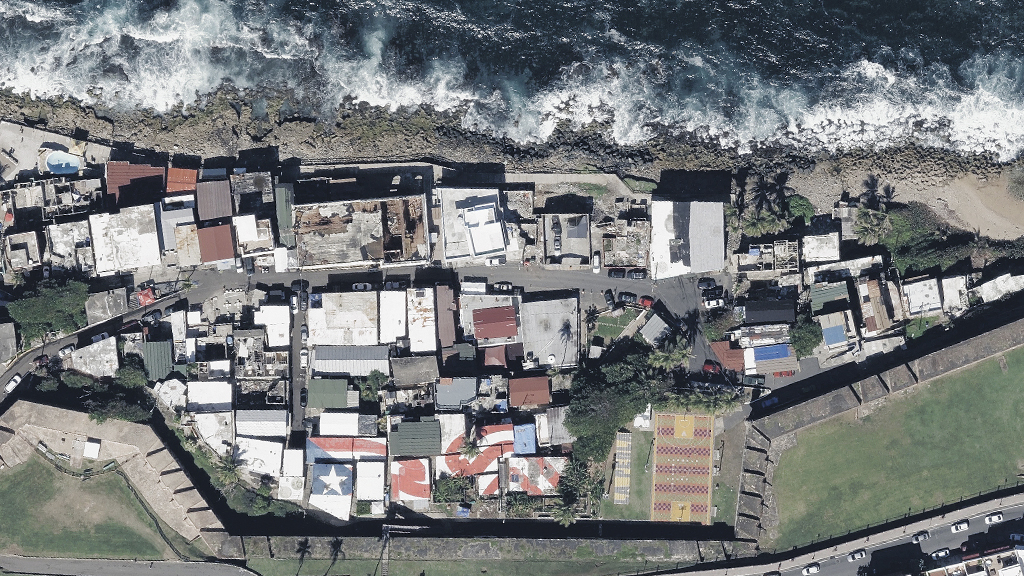
Access to real ground truth starts from above with the ability to capture reality in remarkably sharp resolution. Vexcel flies regularly across Puerto Rico, from San Juan to Carolina, Bayamon to Ponce. Aerial imagery is collected using award-winning camera sensor technology. That aerial data is then put through a rigorous production process to produce imagery that is clearer and more accurate than satellite imagery. It’s a complete end-to-end technology solution offering compelling location content to help you plan your projects with confidence.
Country-wide collection
10cm resolution
High-resolution aerial imagery
Ortho
View high-resolution aerial imagery from a top-down perspective. The clarity and consistency of Ortho imagery provides detail at a resolution that’s up to 8x greater than satellite imagery. View entire communities and quickly identify growth areas for urban development or landscape changes such as watershed. Use measurement tools to calculate the area and length of a particular property. Trust what you see with imagery that is matched against ground control points.
Multispectral
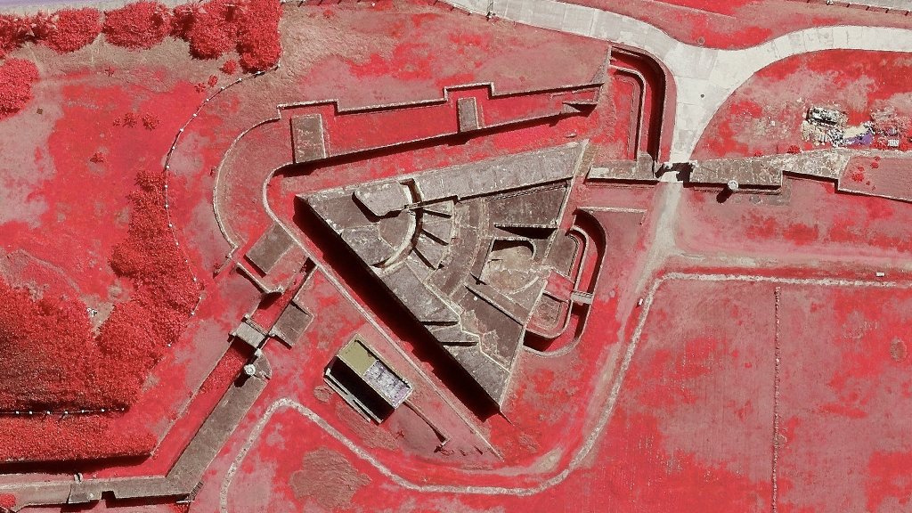
Bring the unseeable into view with our Multispectral aerial data, another way to enhance your imagery analyses. Near-infrared (NIR) imagery is collected during our regular captures and is processed and delivered as Color-infrared (CIR).
This colorized form of imagery highlights details that can’t be seen with the naked eye. It helps viewers quickly categorize vegetation and other surfaces, helping identify plant health, soil moisture, water clarity, and wetland mapping. It’s extremely valuable data for monitoring environmental changes.
Elevate: DSM & DTM
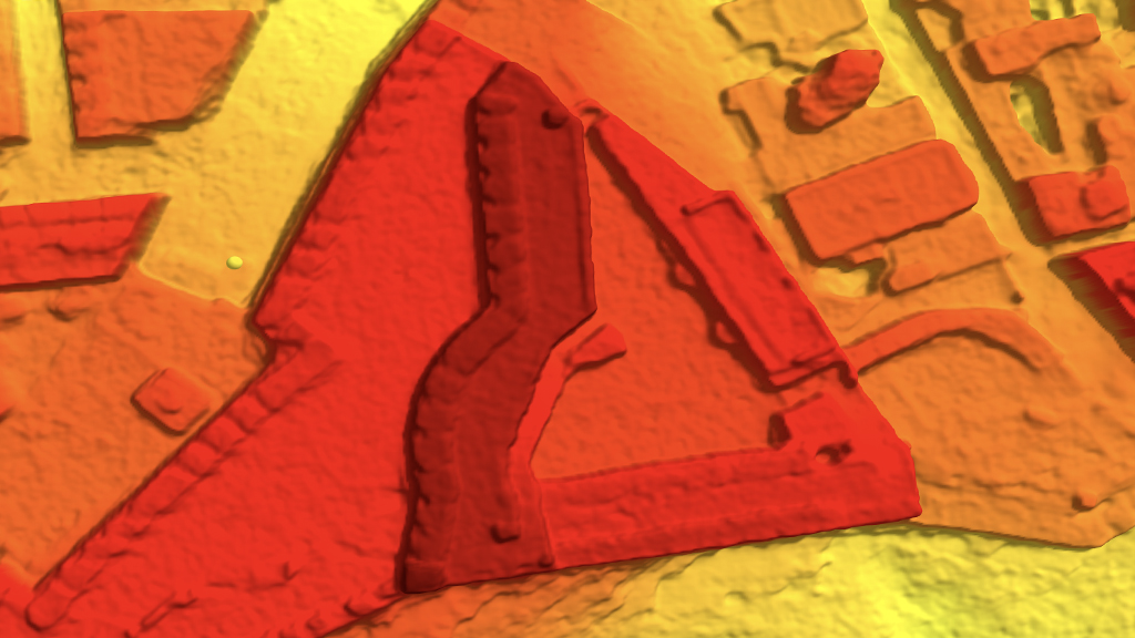
Boost your 3D visualization with our Elevate products: Digital Surface Model (DSM) and Digital Terrain Model (DTM). With DSM/DTM data, you can transform your workflows with a stronger context and deeper understanding of the earth’s surface and structures on that surface. DSM data provides a 3D view of objects that sit on the earth’s surface. DTM shows the bare earth with objects removed. Plus, our DSM data has a perfect pixel-to-data match with our True Ortho and Multispectral imagery, creating perfect spatial alignment between elevation data and imagery for a more consistent, trusted output.
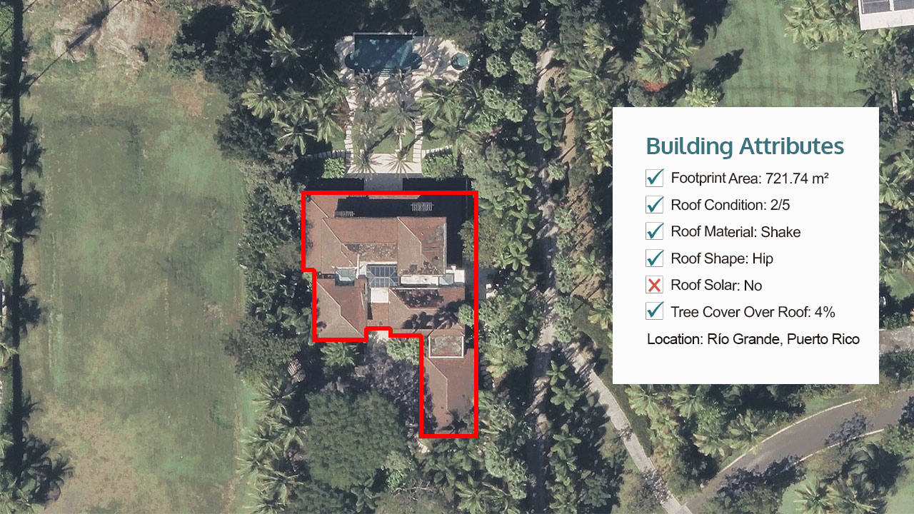
Building Attributes
View multiple elements on millions of buildings in seconds with Building Attributes. See the footprint area, get several roof insights, and review defensible space information to gain understanding of a structure beyond just an image.
Building Attribute information supports a variety of needs for many industries–all you need are the location coordinates to view the latest attributes by using Vexcel’s APIs and web-based application, Viewer.

