Access Imagery Anywhere
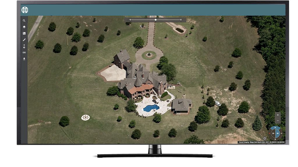
As a web-based application, Viewer allows you to access imagery from wherever you are, whether at your home office or on the go. Keep your property in sight, at your fingertips, and at the ready whenever you need to view a location.
Easily Analyze Layer Data
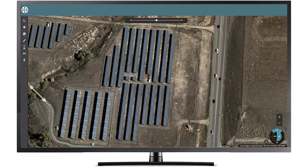
Use the Compass Tool to quickly understand what content is available at your area of interest for greater analysis. Whether it’s an ultra-high-resolution oblique image of a city center, or a high-res ortho view of energy farms, easily switch between types of imagery with the click of a mouse.
Measure Properties
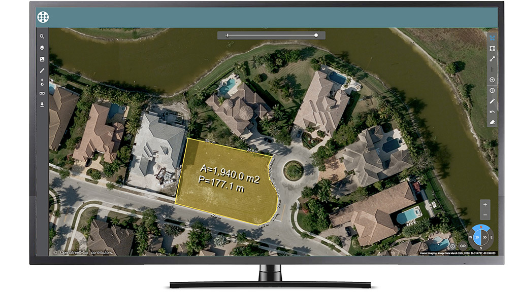
Take measurements directly on images inside Viewer. Evaluate length and area from a vertical view.
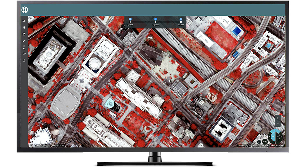
Quickly Compare Historical Views
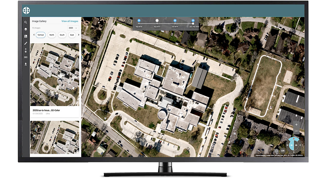
Need to track changes over time? Select points along the Timeline Tool to quickly view recent and historical imagery.
Tour Sites Virtually
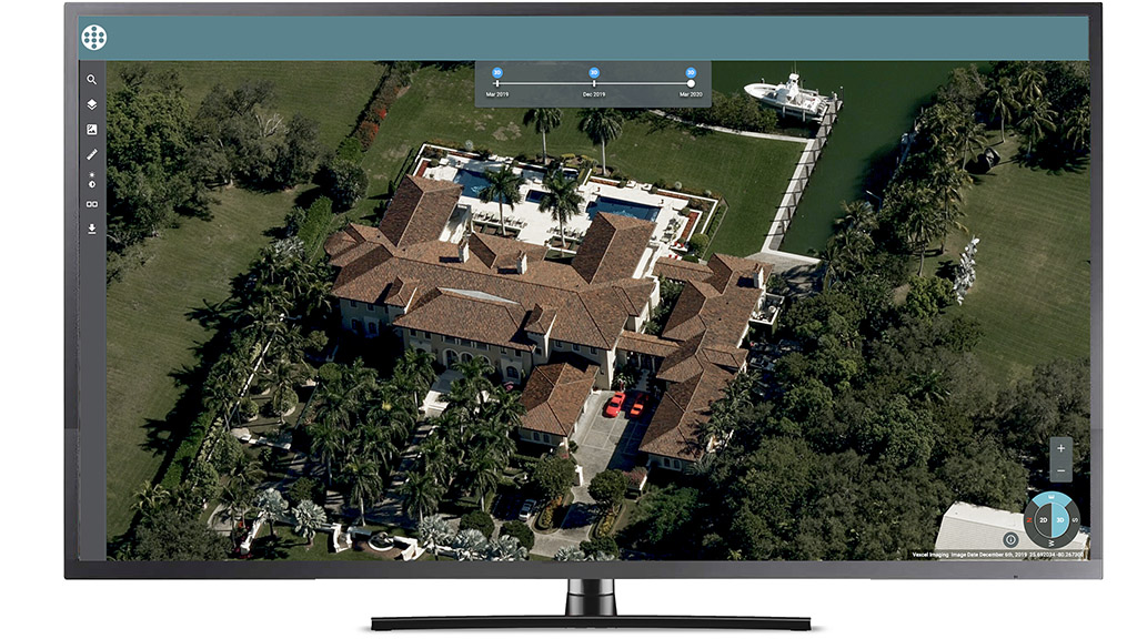
With Vexcel’s ultra-high-resolution oblique imagery, take a virtual walk around your property, seeing a location from all four cardinal directions. Easily switch between 2D and 3D data to get a complete, contextual understanding of your area of interest.
Tour Sites Virtually
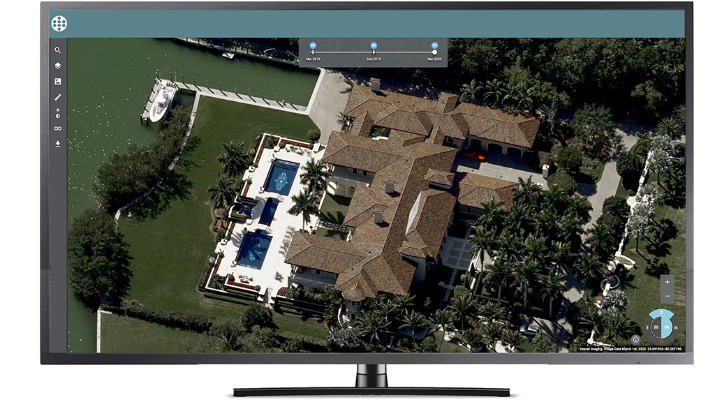
With Vexcel’s ultra-high-resolution oblique imagery, take a virtual walk around your property, seeing a location from all four cardinal directions. Easily switch between 2D and 3D data to get a complete, contextual understanding of your area of interest.
Tour Sites Virtually
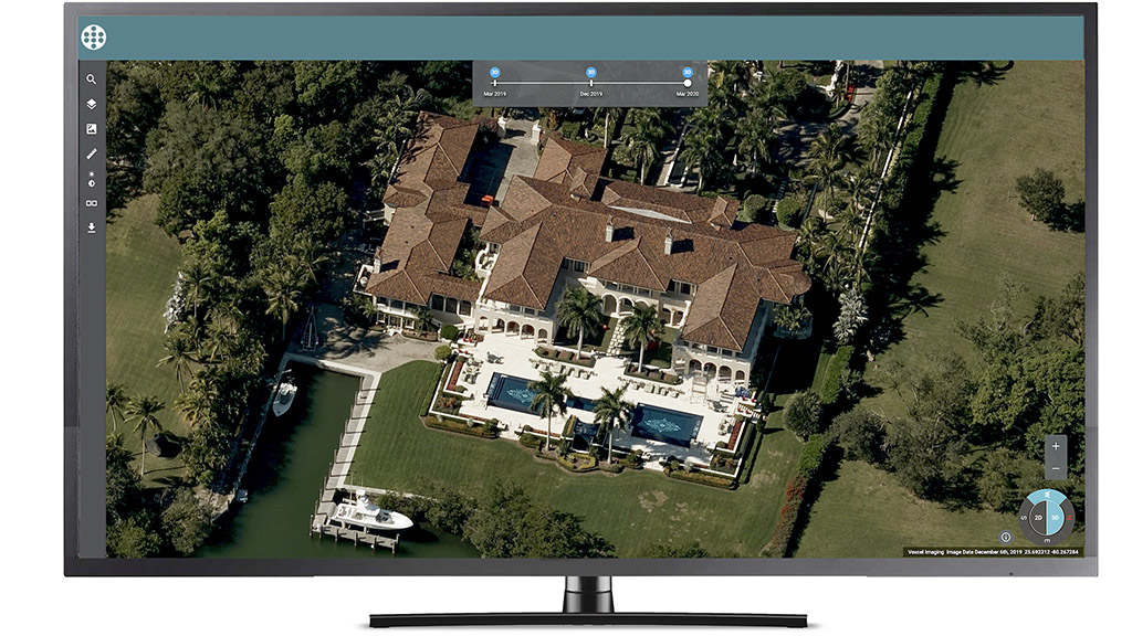
With Vexcel’s ultra-high-resolution oblique imagery, take a virtual walk around your property, seeing a location from all four cardinal directions. Easily switch between 2D and 3D data to get a complete, contextual understanding of your area of interest.
Tour Sites Virtually
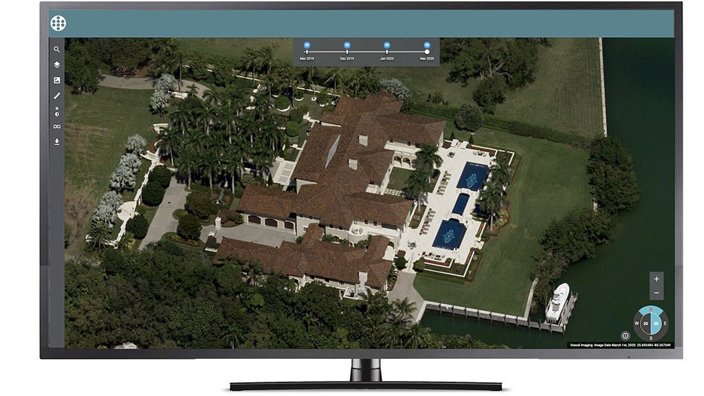
With Vexcel’s ultra-high-resolution oblique imagery, take a virtual walk around your property, seeing a location from all four cardinal directions. Easily switch between 2D and 3D data to get a complete, contextual understanding of your area of interest.
Share Imagery Across Your Team
With enterprise access as part of your Vexcel subscription, you can quickly share an exact location of a property or location with just a link.
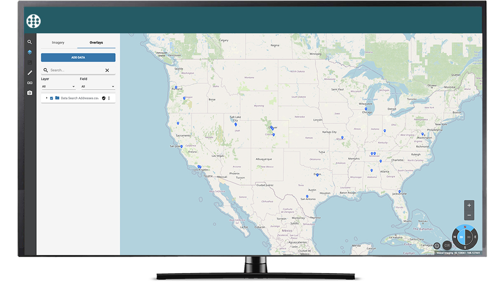
Search Imported Data
Import .CSV or shapefiles into Viewer. Then search and zoom into your data while viewing Vexcel imagery.


