Keeping Up with Change: How Vexcel Helps Tax Assessors Modernize Property Assessment
For tax assessors, the landscape is changing, literally. Suburbs are expanding, homes are being remodeled, and new construction is underway in both urban and rural areas. Property uses shift at a pace that is hard to track. At the same time, assessment offices are asked to do more with limited staff and resources.
The result? Property changes can be missed, and tax rolls may lag behind reality.
Modern assessment requires modern data. Vexcel provides high-resolution aerial imagery, AI insights, and urban coverage that help property assessors keep pace with change.
The Challenge of Keeping Assessments Current
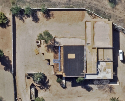
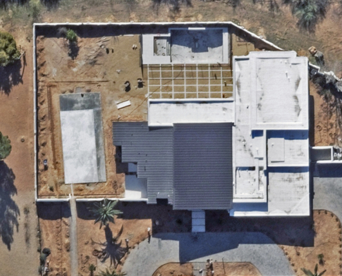
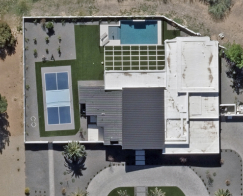
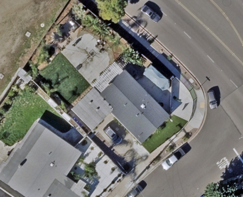
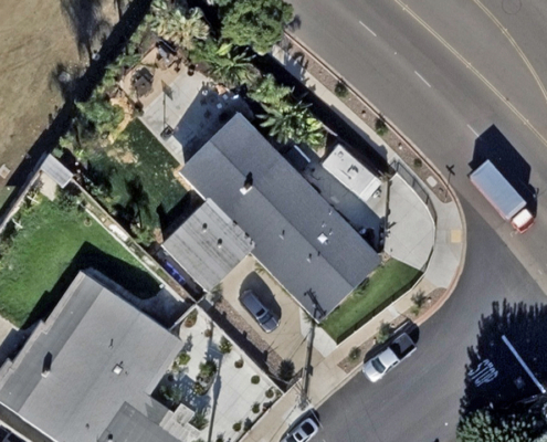
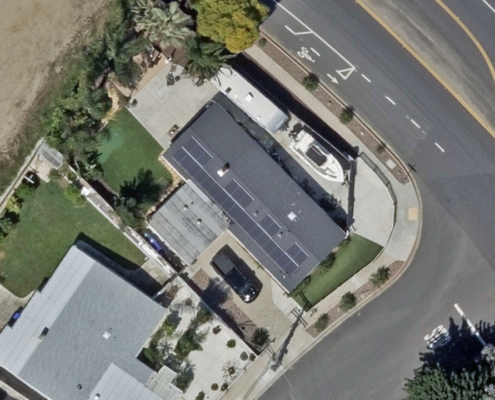
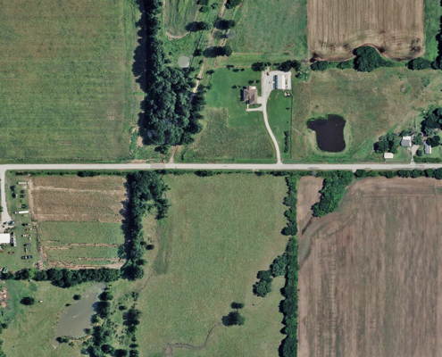
Neighborhoods evolve quickly. One year a lot is vacant; the next, it has a new home with a garage, deck, or pool tucked behind the property line. These kinds of changes directly affect valuations, but they are easy to overlook without the right visibility. Assessors know the challenge well: in-the-field inspection programs can be expensive and time-consuming, data sources they use are often refreshed too infrequently, and limited staff capacity makes it impossible to keep pace with every shift in the built environment.
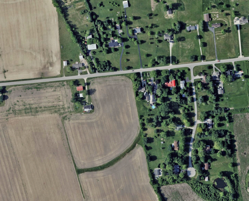
What makes the difference is access to high-resolution, timestamped aerial imagery. With clear views of both urban neighborhoods and rural landscapes, assessors can confirm property improvements, reduce inconsistencies, and ensure fair valuations without sending staff to every doorstep.
How Vexcel Data Helps
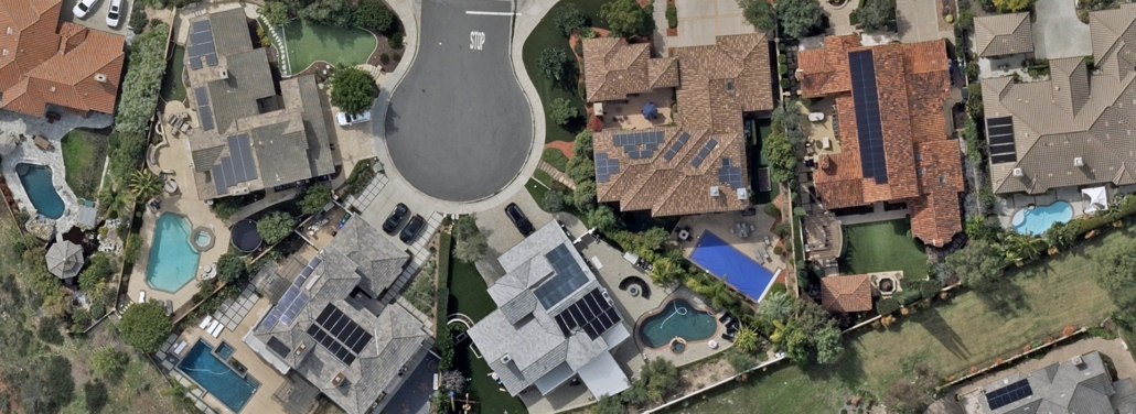
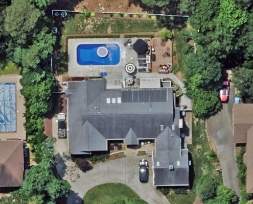
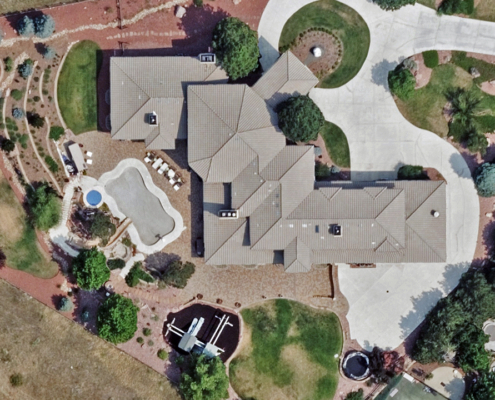
Vexcel delivers high-quality imagery and AI-derived property insights that fit directly into the systems assessors already rely on. Imagery published at 7.5cm resolution provides the detail needed to see building changes, secondary structures and additions, and backyard improvements.
Vexcel also obsesses over quality and accuracy at every step. From its industry-leading UltraCam sensors to rigorous capture standards in the air, to a multi-step production pipeline that ensures color balance and geometric alignment, the imagery is built for accuracy. Positional accuracy is validated against ASPRS standards and matched against ground control points, giving assessors confidence the data will align across their jurisdiction.
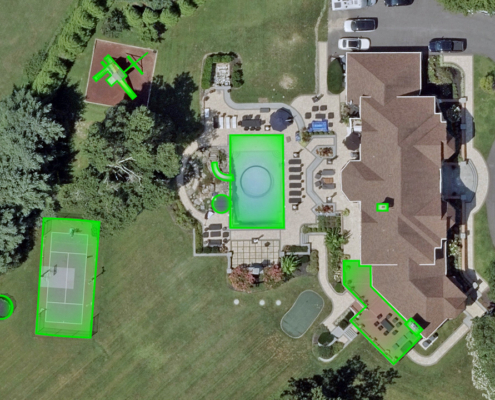
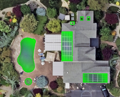
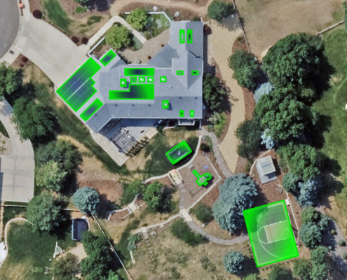
Layered on top are AI-powered property attributes. Vexcel’s Elements AI products extract details such as pools, solar panels, roof types, and more than 40 additional attributes, transforming pixels into information assessors can act on immediately.
Why Assessors Choose Vexcel
Tax assessors have relied on aerial imagery for decades. What is changing now is the scale of what’s possible. With Vexcel, offices gain access to one of the world’s largest and most accurate aerial libraries, refreshed continuously and supported by decades of sensor expertise. Beyond today’s snapshots, assessors can look back through a historical archive to compare conditions over time and defend decisions with timestamped data.
Equally important is flexibility. Not every territory has the same needs, and Vexcel imagery is delivered in ways that fit local workflows. Some offices prefer cloud streaming, others require on-prem hosting for compliance, and many work through trusted third-party vendors. Vexcel’s data adapts to those preferences while maintaining the same quality and positional accuracy across the board.
Modern Data for Every Tax Assessor Office
Some assessors are just starting their journey with aerial imagery. Others have years of experience and are ready for broader coverage, deeper history, and AI-ready insights. Vexcel supports both, with collections at 7.5cm resolution in urban areas and a commitment to quality and accuracy at every step.
Learn how Vexcel’s data supports property assessment. Visit our Property Assessment page or connect with our team to see what is available for your area.

