Elements
AI on Aerial Imagery. Answers on the Ground.
Using AI and machine learning, Vexcel extracts key attributes and finds objects across buildings, properties, and roads using its own high-resolution aerial imagery.

Using AI and machine learning, Vexcel extracts key attributes and finds objects across buildings, properties, and roads using its own high-resolution aerial imagery.
Vexcel’s high-resolution aerial imagery captures the world at 7.5–15cm, providing the detail AI needs to identify objects and extract attributes. Every Elements product starts with this foundation. Find what you need and get verified data tied directly to the source imagery.
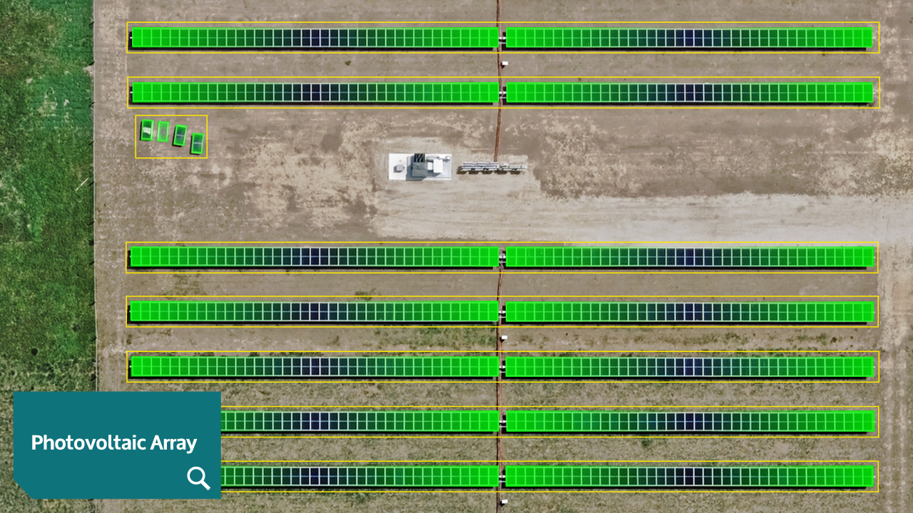
Name the object. Custom Elements finds it in Vexcel’s full ortho and oblique imagery library across 45+ countries and territories. No labeling or training required.
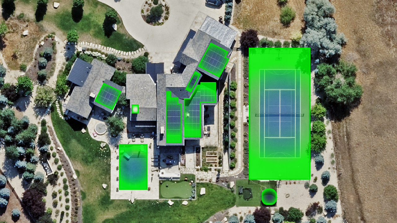
Know what’s on the property. More than 40 validated attributes extracted, precomputed, and queryable across millions of residential and commercial properties in the U.S., Canada, Australia, and New Zealand.
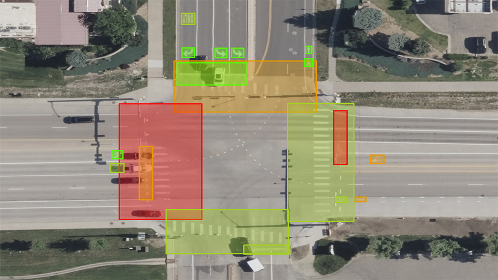
Inventory what’s on the road. AI-derived infrastructure and pavement marking attributes with condition ratings for urban areas in the United States.
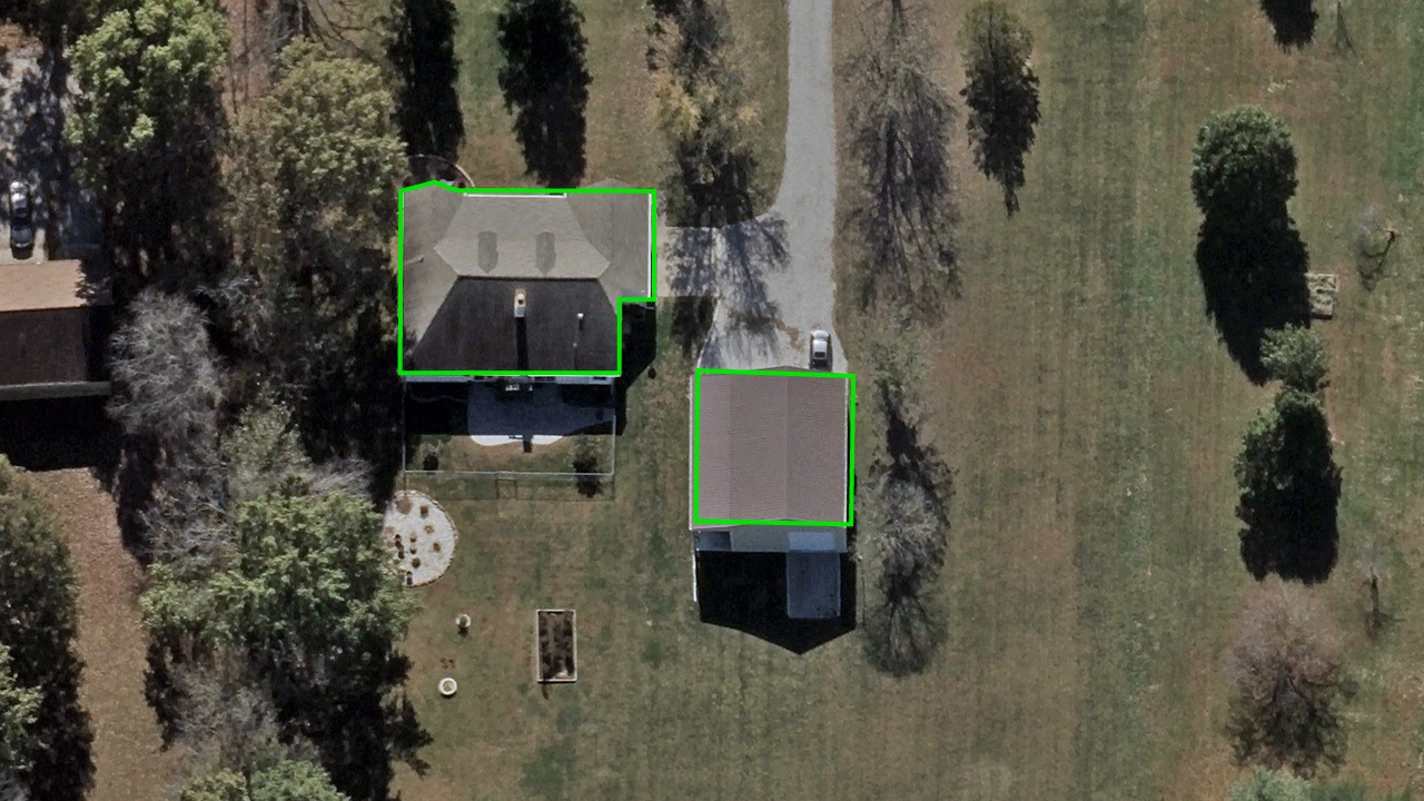
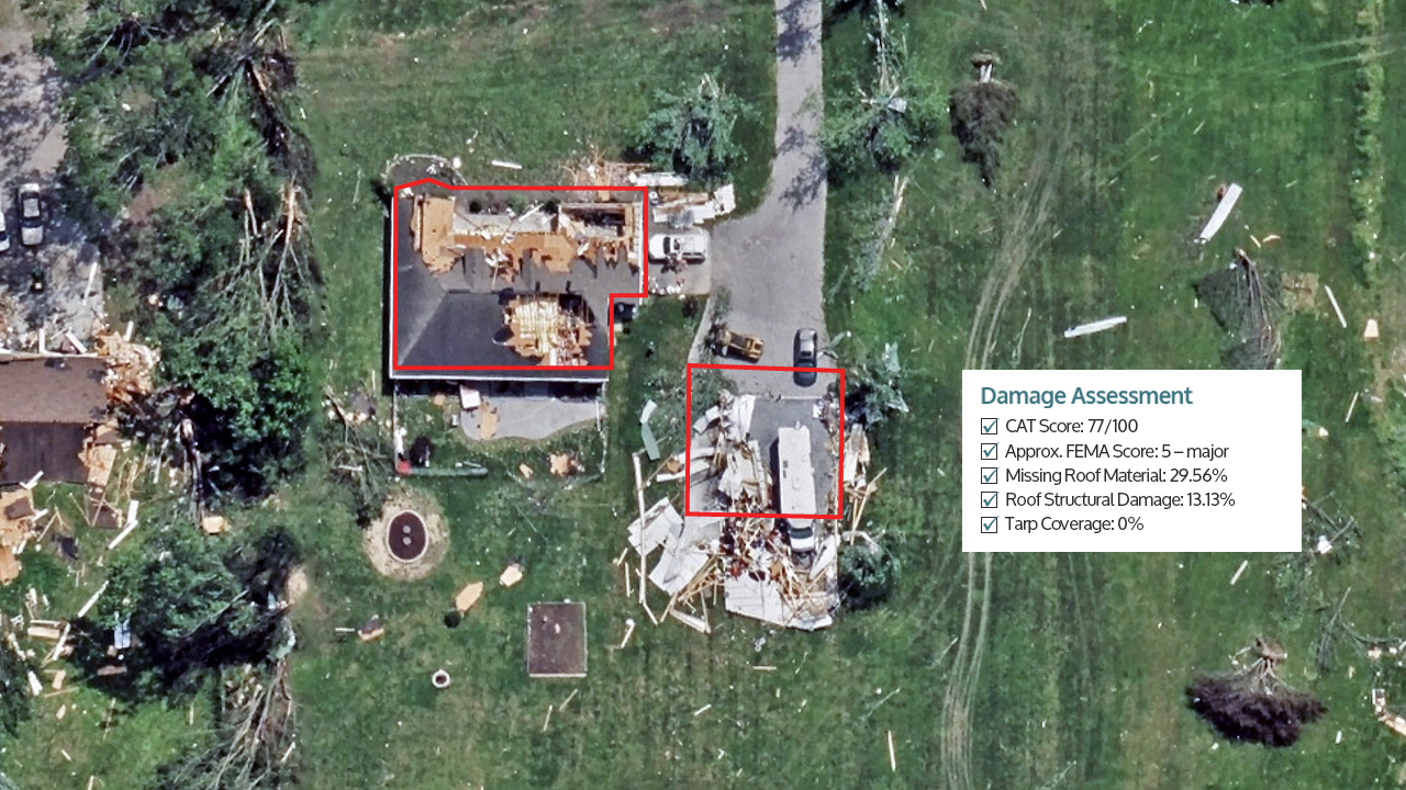
Respond faster after disaster. Vexcel analyzes its Gray Sky imagery and delivers color-coded damage footprints and property-level damage scores, so insurers and emergency teams have what they need to act immediately after wildfires, hurricanes, and tornadoes.


Large-format UltraCam cameras & sensors.
vexcel-imaging.com

Aerial surveys by fixed-wing aircraft.
kasurveys.com

Aerial imagery and data for government and business.
vexceldata.com