
Gray Sky: Cyclone Narelle, Australia
High-resolution imagery collected
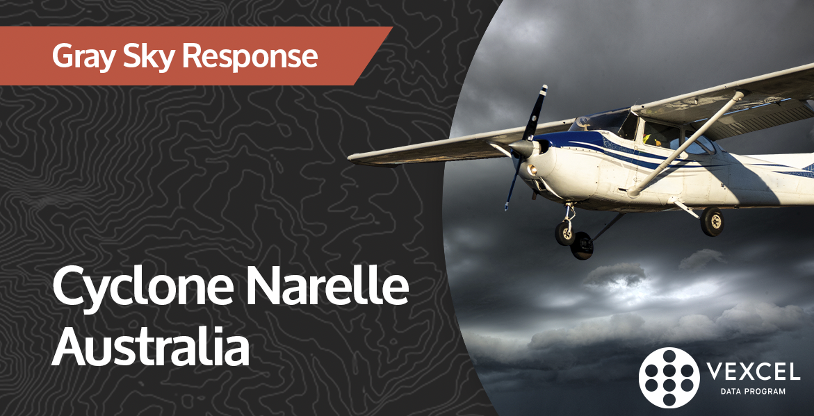
From Monitoring to First Imagery Collections in Western Australia
Our Gray Sky team has been closely monitoring Cyclone Narelle as it tracked along the northwest coast of Western Australia. Once weather conditions allowed, we’ve moved into action, deploying aircraft to collect high-resolution aerial imagery across highly impacted area.
First Imagery Collections Complete
We’ve completed our first 7.5cm imagery collections in:
• Coral Bay
• Exmouth
• Carnarvon
These collections focus on coastal communities where cyclone winds and storm surge likely damaged properties and infrastructure.
What Happens Next
All imagery is now en route to processing. Once complete, it will be published in the Vexcel Platform and made available through select partner sites. This imagery will support early damage assessment, helping insurers, government agencies, and response teams understand conditions at the property level. Our thoughts are with the communities affected.
Request Access
Please let us know if you need imagery for your response and recovery. Please fill out our contact form below.
