Identify Clear Lines-of-Sight
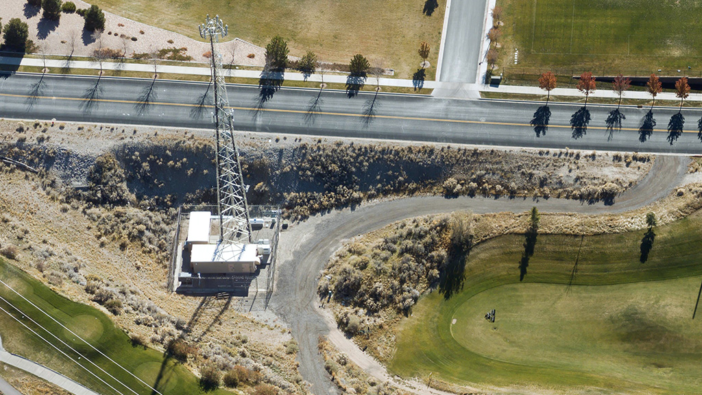
In order to develop a network of communication signals across a dense urban environment—especially with the advancement of 5G networks—telecom companies rely heavily on field operations to determine ideal locations for tower installations. Vexcel’s aerial content provides imagery matched against ground control points, resulting in imagery with a two-pixel standard deviation for remarkable accuracy you can trust when calculating Fresnel zones between cell sites.
How Dalet Access Labs is using Vexcel data?
“Picking Vexcel and partnering with them…we knew it was the right solution to help us do all of our network modeling. When you have the right solution to model the network with, it solves 50% of the problem.” – Odion Edehomon, CEO Dalet Access Labs
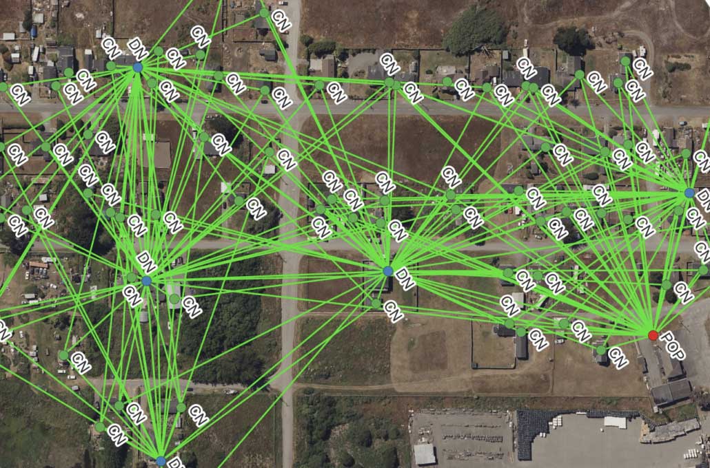
Terragraph LOS Qualification
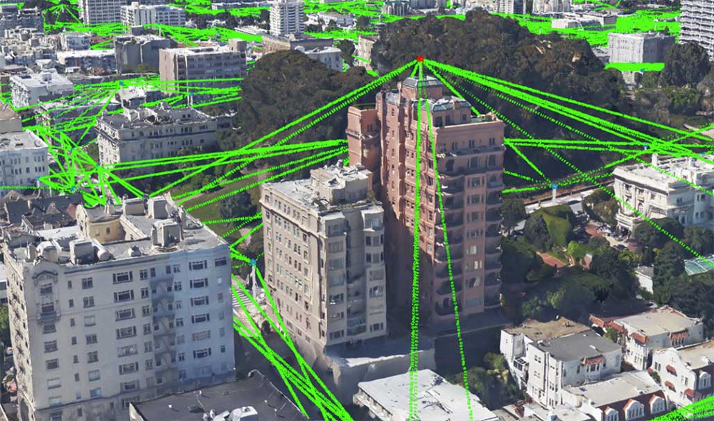
Terragraph, a multi-node wireless Software Defined Network (SDN), is enabling high-speed internet connectivity at 60GHz in many different areas. Network planners need to understand population density, tree coverage and building site to map a large number of nodes. This example from San Francisco uses Vexcel’s True Ortho, Elevate, and Multispectral imagery for planning a network.
Spot Poles with Ease
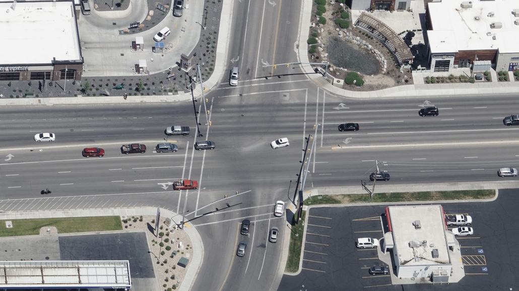
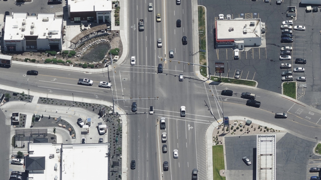
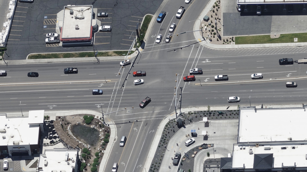
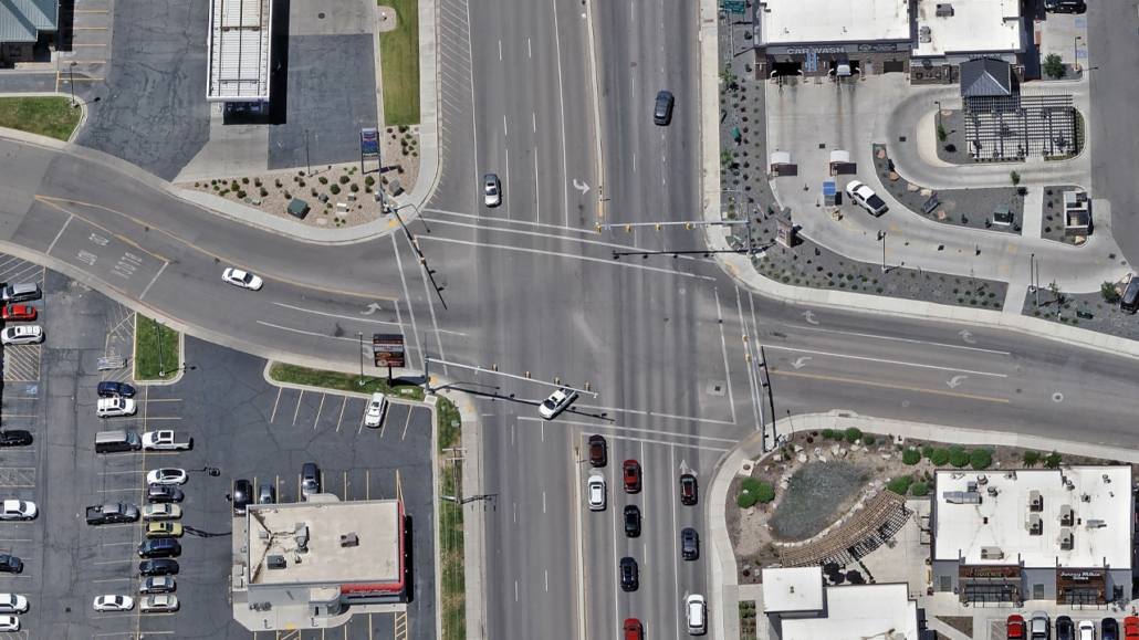
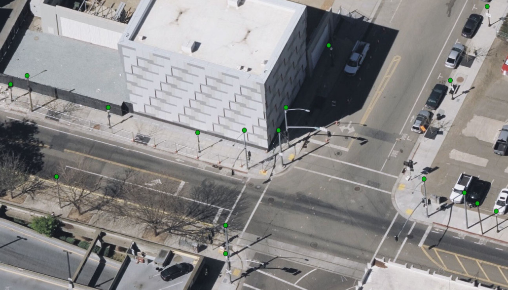
As 5G continues to be rolled out around the globe, a key factor to its success is the location for small cell base stations. Utility poles and street fixtures are perfect base stations where transmitters can be discreetly placed. Telecom providers can identify and map pole locations–such as streetlights, traffic signals, utility poles–using Vexcel’s high-resolution aerial imagery in densely populated areas and across more rural locations. Oblique imagery allows a planner to view all sides of a building to spot all pole locations. True Ortho imagery helps network planners map neighborhoods and city blocks with confidence.
Streamline Field Operations
Harness the power of remote inspection with accurate high-res aerial imagery, allowing you to visualize ground conditions before sending a crew out into the field. While imagery does not eliminate the need for site visits, it greatly improves the efficiency of field ops as they can determine where best to spend their time when on-site.
Integrate Data Into Powerful Platforms
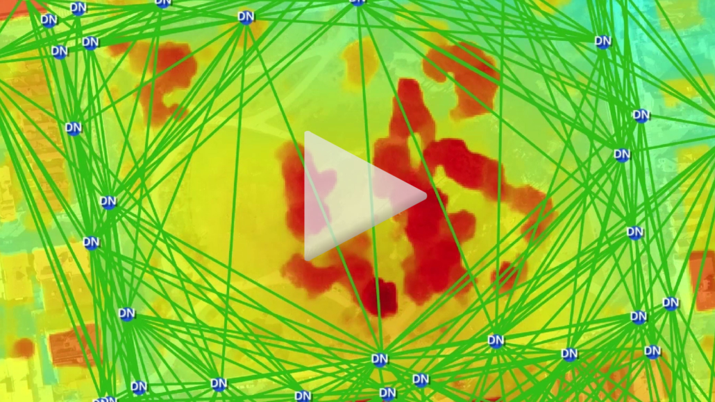
Vexcel’s highly accurate aerial imagery and geospatial data are the perfect companion for powerful third-party platforms, such as Esri SURE shown here. Bringing Vexcel data inside SURE for ArcGIS helped create an immersive 3D mesh visualization used for validating line-of-sight for a network. Integrating consistently accurate aerial data from Vexcel into their preferred GIS systems allows telecom companies to expand the power of location data, increase geospatial awareness, and help build the next generation of networks.
Imagery Products for Telecom
Vexcel provides high-resolution imagery and elevation models in 25+ countries, including urban and rural coverage in the contiguous United States.
True Ortho
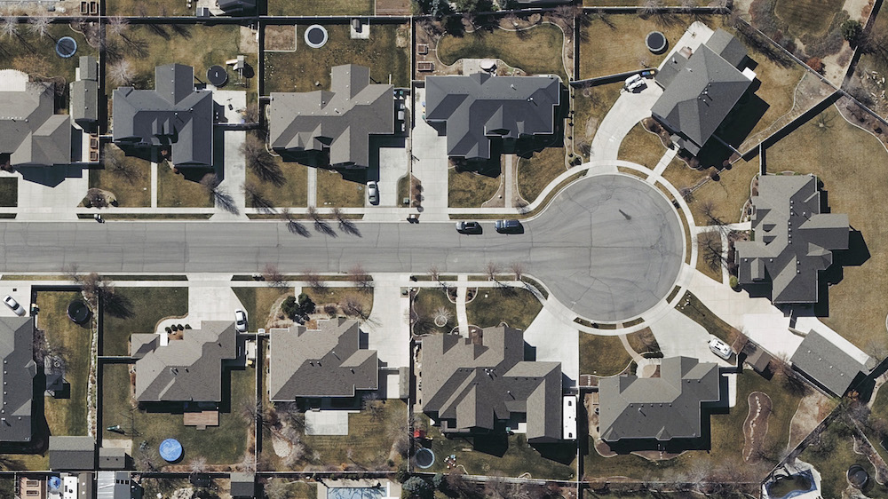
See urban environments from a top-down view in high resolution with no seamlines or parallax (building lean) to determine ideal locations for nodes.
Oblique
Take in all views around a building or area with Oblique imagery. This birds-eye view at a 45-degree perspective allows end users to virtually tour a property.
Elevate
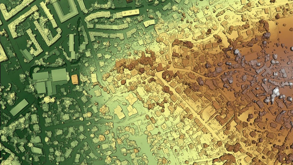
Understand how natural and man-made objects impact your telecom projects with digital terrain and surface models (DTM/DSM).
Multispectral
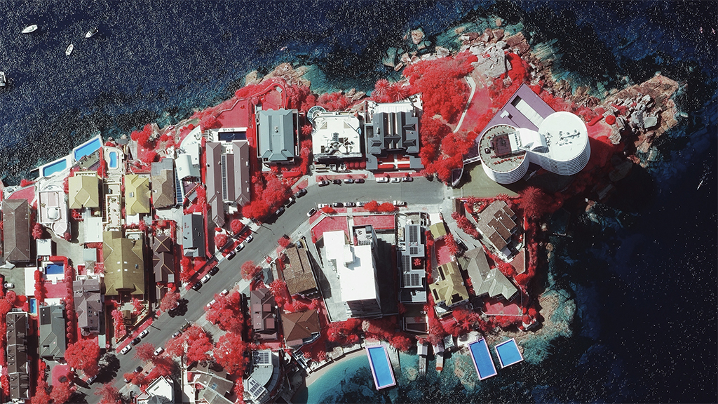
Understand how trees and impervious surfaces impact your telecom projects with color-infrared imagery.

