How HERE Technologies uses Vexcel data
“By extracting upwards of 390 different map attributes (POIs, landmarks, traffic furniture, etc.) from Vexcel’s aerial data mosaics, HERE continues to make advancements in mapmaking and automation to keep the industry’s leading HERE platform fresh.”
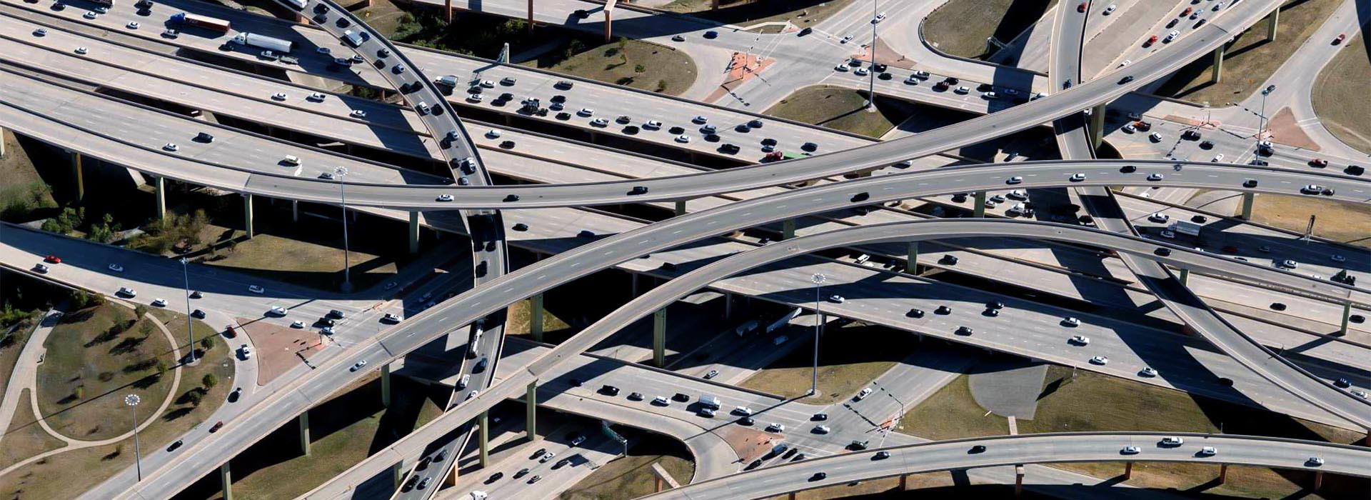
Elevated Road Intelligence
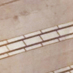
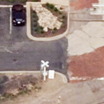
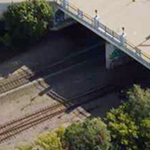
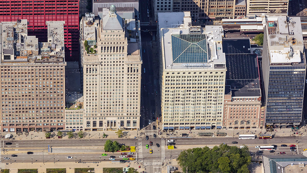
Vexcel’s market-leading cameras collect millions of images every year and each pixel unveils insightful data for AI and ML to identify and index all types of objects for HD Maps. Use Vexcel’s 2D and 3D imagery to classify countless features for precise HD mapping, from parking spots and painted lines to street furniture and pedestrian crossings.
Identify objects with high-res imagery
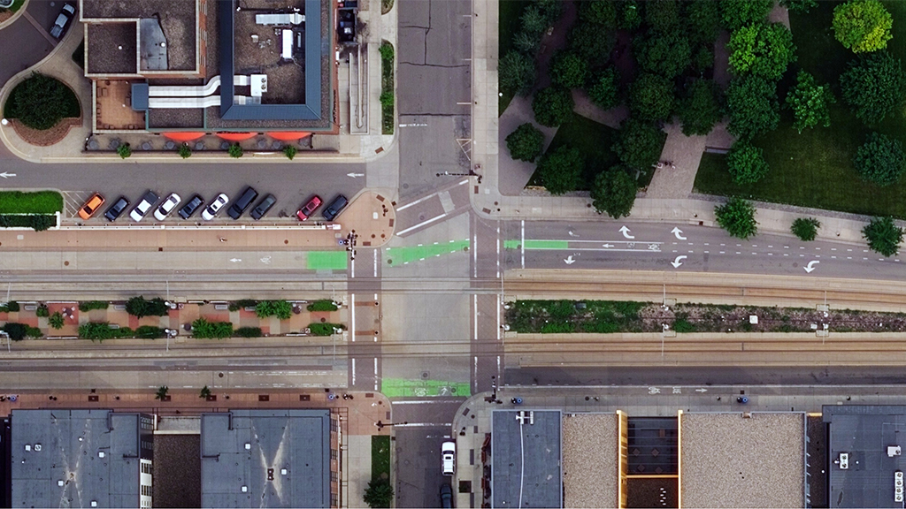
Bike Lane
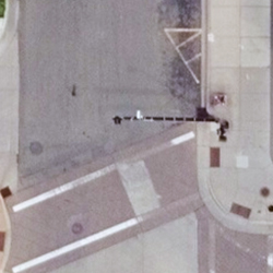
Stop Light Signal
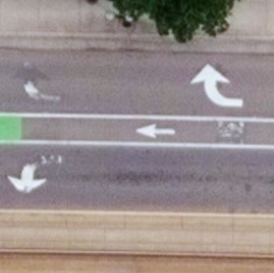
Turn Lanes
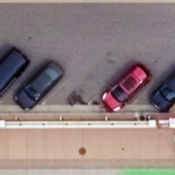
Parking Lot

Railroad
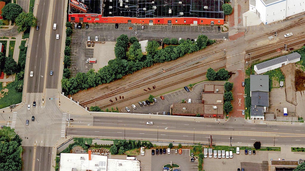
Lot Entrance
Parking
RailRoad Crossing
Parking Lot Entrance
Parking Spots
Overpass
Navigate the Last Mile
Use high-resolution imagery to bridge the information gap between well-known areas on a map (such as streets) and blank spots (parking lots). Quickly identify key attributes not collected by street view or car-based capture programs by using reliable, consistent aerial data.
Identify objects with high-res imagery
Comprehensive Aerial Data at Scale
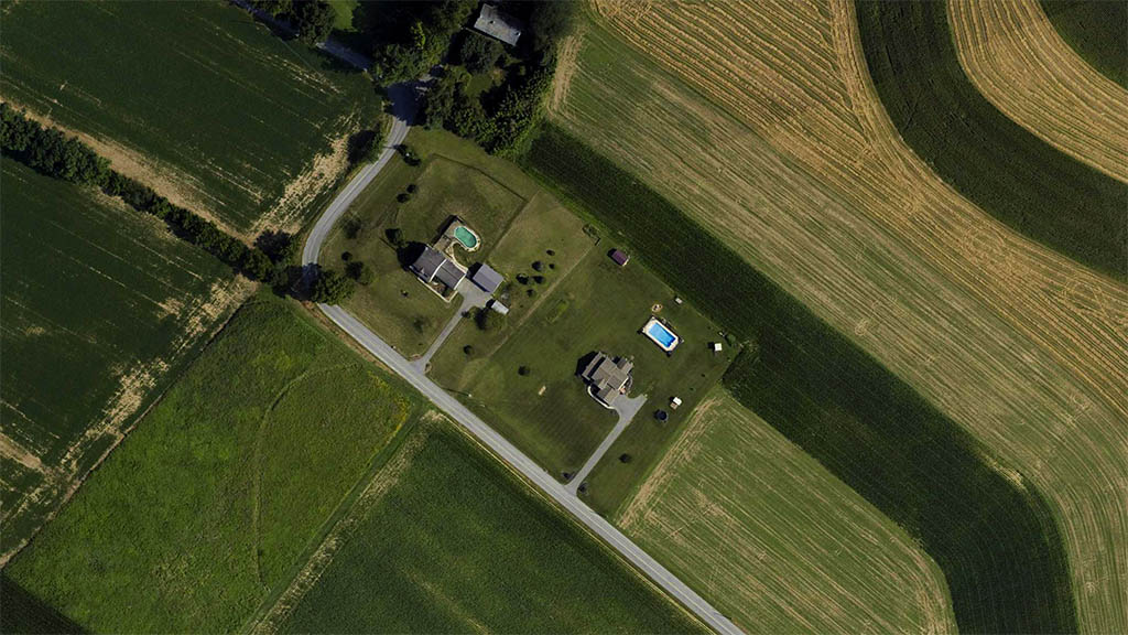
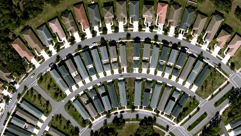
See beyond a city block or suburban neighborhood by accessing cloud-based aerial imagery at scale. With both urban and rural capture programs, mapping companies can leverage imagery and geospatial data from coast to coast. Vexcel’s location data products are matched against ground survey points, resulting in the highest caliber of accuracy in imagery. It’s data you can trust.
Related Imagery Products
Obliques
View property from all four cardinal directions in ultra-high-resolution.
True Orthos
Get a top-down view in high-resolution at scale.

