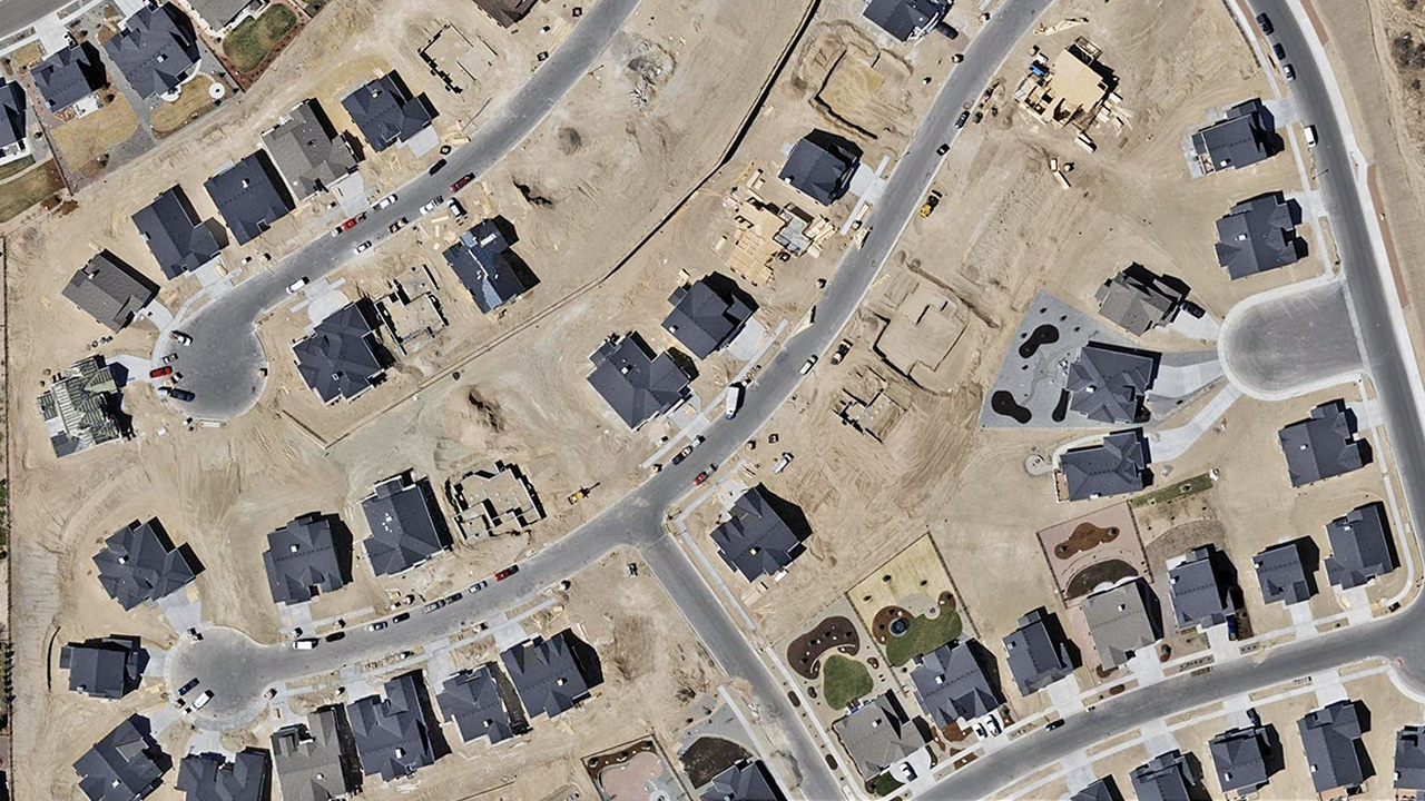
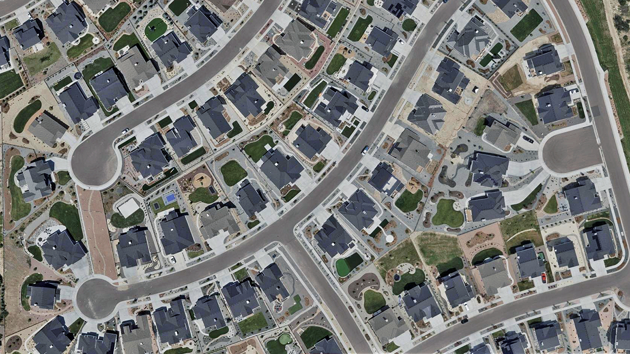
High Resolution & Ready-To-Use
Aerial Imagery for Government
Up-to-date imagery and geospatial data for property assessment, urban planning, transportation, emergency response, and more.
Up-to-date imagery and geospatial data for property assessment, urban planning, transportation, emergency response, and more.
Put time back on your side by conducting property assessments remotely using current and historical imagery. Quickly identify taxable activity and measure property, all within minutes from your desktop


“I think one of the biggest benefits we’ve seen already has to do with the consistent state-wide dataset we have that is very cost effective for us and really does meet the needs of a wide range of users. Economies of scale is critically important in government and Vexcel gives us reliable, quality data that is very affordable.” -Dennis Pedersen, Director of GIS Services
Access high-resolution aerial imagery, elevation models, and AI-extracted roadway data for DOT planning, analysis, and infrastructure management.
Imagery and geospatial data to support emergency and 911 response, risk assessment, planning, and more.
Imagery and geospatial data to support zoning, infrastructure design, and land use analysis in cities and towns.
Imagery and geospatial data to support asset management, infrastructure maintenance, stormwater planning, and inspections in cities and rural areas.