Collecting Imagery Following Hurricane Francine
As the Operations Partner for the Geospatial Insurance Consortium, we support the commitment to collect high-resolution aerial imagery following major disasters such as hurricanes, tornadoes, and wildfires. Recently, Hurricane Francine made landfall as a Category 2 storm in Louisiana. The Gray Sky team, which monitors weather events and coordinates our fleet of aircraft, had planes at-the-ready once the storm had moved through and it was safe to begin collecting imagery over the impacted areas.
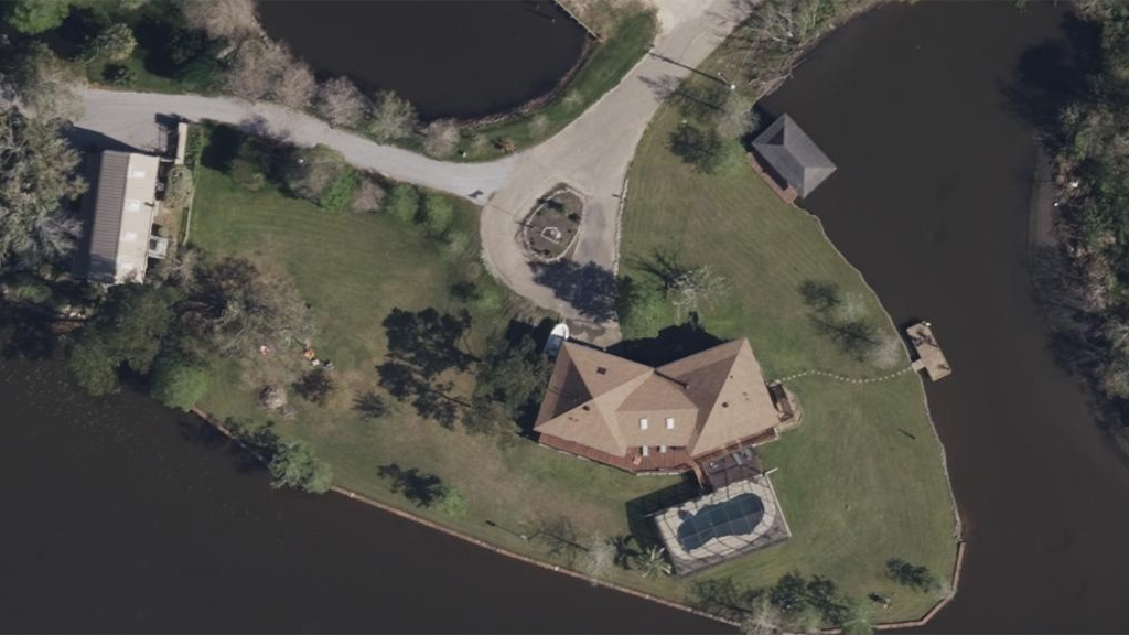
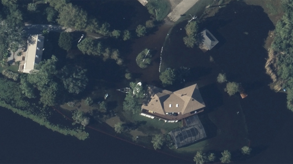
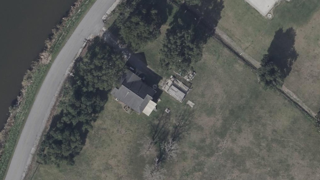
The majority of devastation was massive flooding that impacted several communities. We collected both high-resolution ortho and multispectral imagery across multiple areas and delivered damage assessment information for properties suffering wind damage. Below is a sample gallery of imagery, including some before-and-after imagery for comparison.


Request Access
If you need imagery from this event, please fill out the form below. You can learn more about how we support Gray Sky events here.