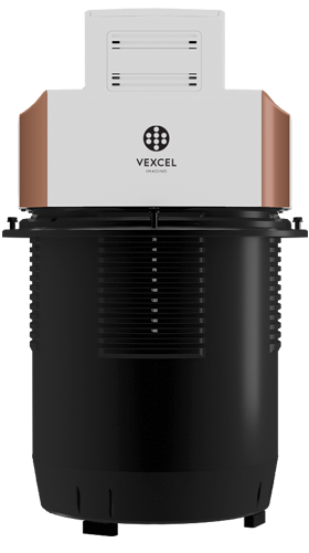
Wide Area Collection
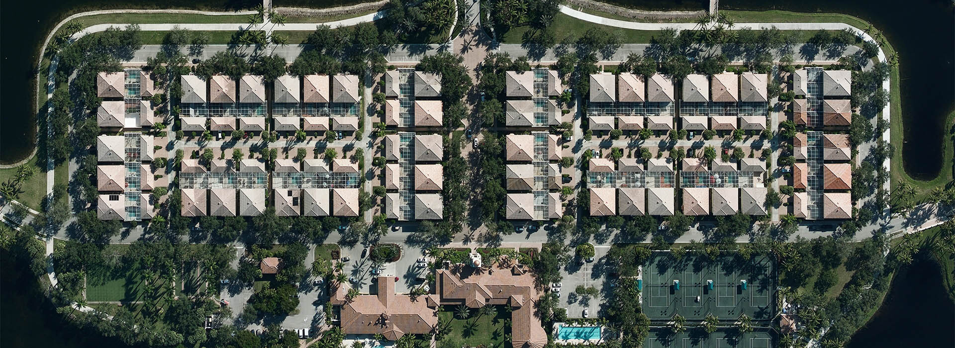
5.9-7.8” resolution (15-20cm)
20+ Countries
Calibrated for Measurement
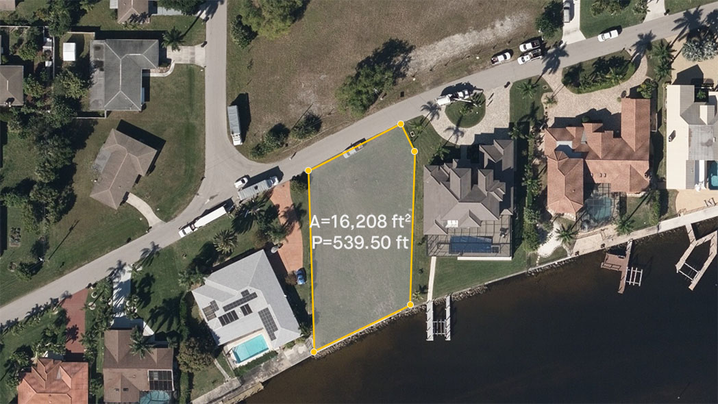
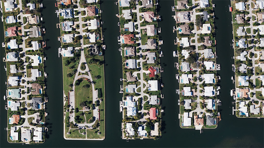
Use high-resolution Ortho imagery to make measurements such as calculating area or measuring the distance between objects. Improve your understanding of a particular property and share insights across your team.
Nationwide Aerials
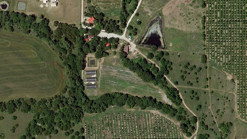
Get the full picture with a nationwide aerial map. Vexcel captures high-resolution orthos in rural areas to expand your view beyond the city lights. Scan farms, parks, natural resources and less-populated areas from above in great detail.
Broader Views, Better Data
Virtually tour more area with Ortho data, greater in scope and coverage than any drone capture program. With Vexcel, you get imagery matched against ground control points, meaning you can trust your view and gain quicker insight and context of your sites.
Plan with Accuracy
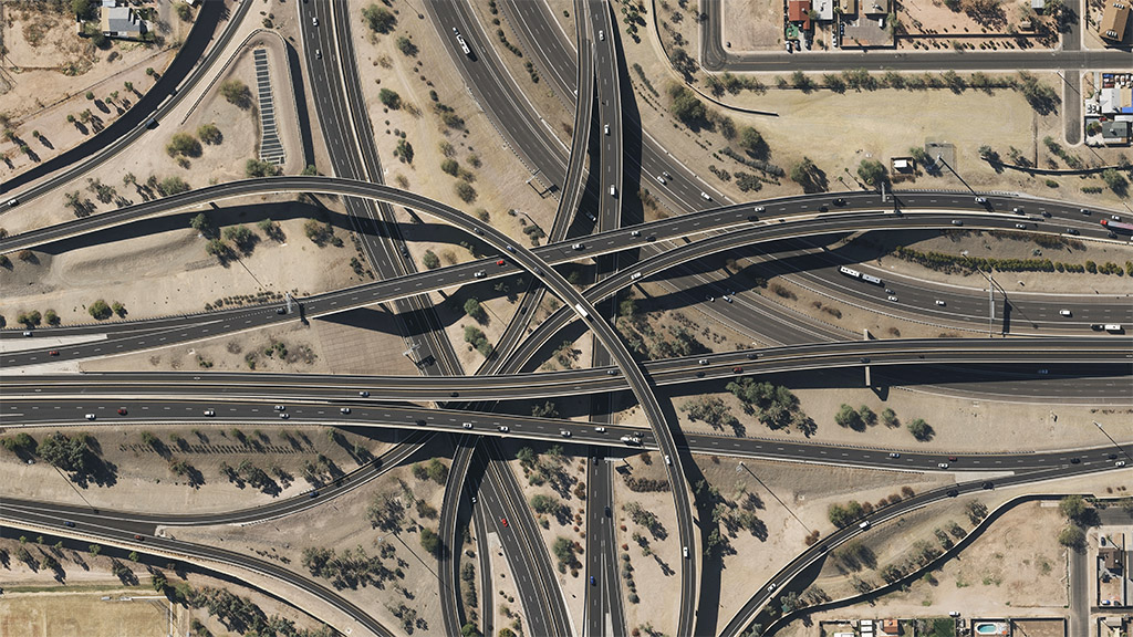
Vexcel provides imagery that is positioned using ground survey points, meaning you get professional-grade data to accurately inspect properties, identify countless attributes, and measure on-the-ground features with great detail.
Compare & Track Property Changes
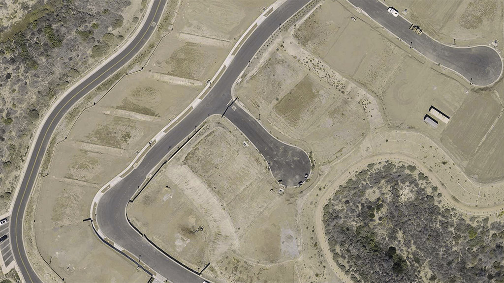
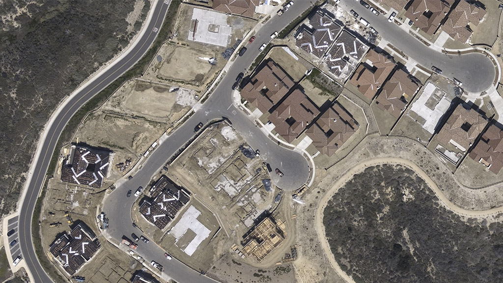
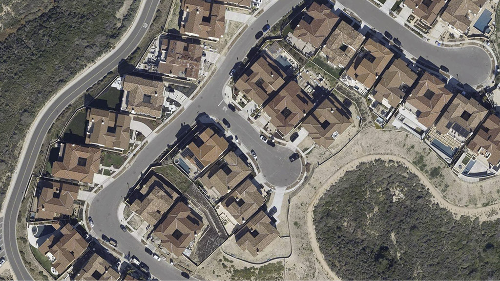
Access to current and historical imagery provides a wealth of knowledge to better understand a particular site or location. Use orthos to identify changes either natural or human created, from landscape changes to construction development and more.
Compare & Track Property Changes
Access to current and historical imagery provides a wealth of knowledge to better understand a particular site or location. Use orthos to identify changes either natural or human created, from landscape changes to construction development and more.
Compare & Track Property Changes
Access to current and historical imagery provides a wealth of knowledge to better understand a particular site or location. Use orthos to identify changes either natural or human created, from landscape changes to construction development and more.

