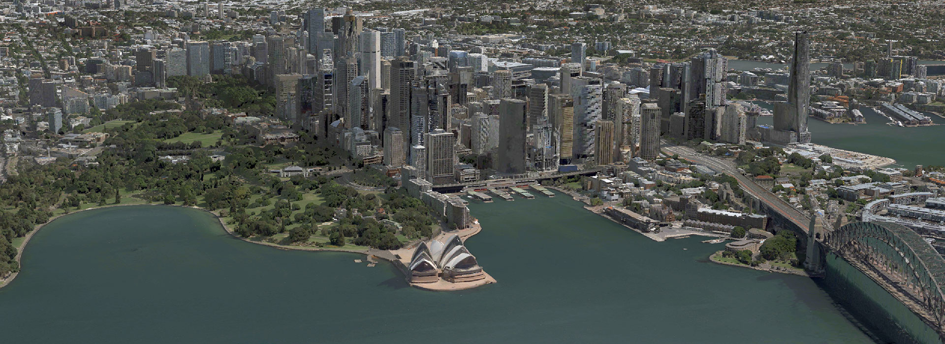
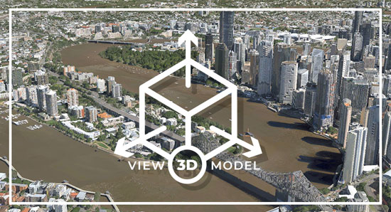
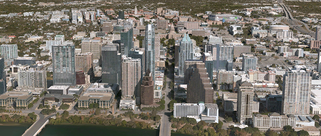
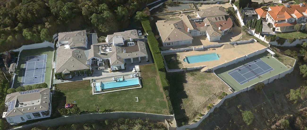
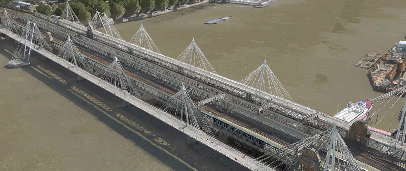
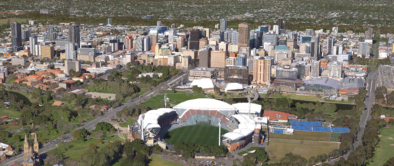
Leveraging Vexcel’s high-resolution aerial imagery and geospatial data, 3D Cities offer super-detailed and realistic views for major metro areas. Customers can fly through immersive and accurate 3D cityscapes at scale, every commercial building, road, and property is mapped from city centers to residential neighborhoods. Add these 3D models to your workflows today.
Ready-Made 3D Models
60+ Cities at Scale
Easy Integration
See Entire Cities at Scale, Not Just a City Center
Need more context than just the central portion of a city? Want to better understand what an entire city looks like at scale in 3D, not just its highest skyscrapers? 3D Cities cover large scale areas that go beyond the busiest business districts. View pre-built models covering hundreds to thousands of square kilometers for a comprehensive understanding of urban areas. In addition, they are more geometrically accurate and detailed compared to other 3D products on the market.
Create Powerful 3D Models for Your Industry
The use of 3D models has become a staple for multiple industries, especially when it comes to design, planning, and analysis. Across Government, Telecom, AEC, Utilities, Transportation, Entertainment, Technology, and Mapping industries, project managers are using 3D data to enhance their visualization. City engineers create digital twins for smart city planning, construction engineers perform viewshed analysis, video game designers enhance augmented reality applications, and telecom network designers map clean lines-of-sight. Improve your real world understanding with immersive, accurate 3D models across your workflows.

