MapControl SDK
Bring the world’s largest aerial imagery program into your applications.


Bring the world’s largest aerial imagery program into your applications.
With MapControl SDK, developers can build immersive experiences using Vexcel’s high-resolution imagery, geospatial data, and tools. Developers can integrate Vexcel capabilities into their applications or into GIS, CAMA, and CAD systems.
With just a few lines of JavaScript code, developers can add Vexcel imagery, data, and functionality to their applications while maintaining their brand and user experience. MapControl SDK works on its own, alongside existing SDKs, or with other third-party map controls. Below are some of the main components:
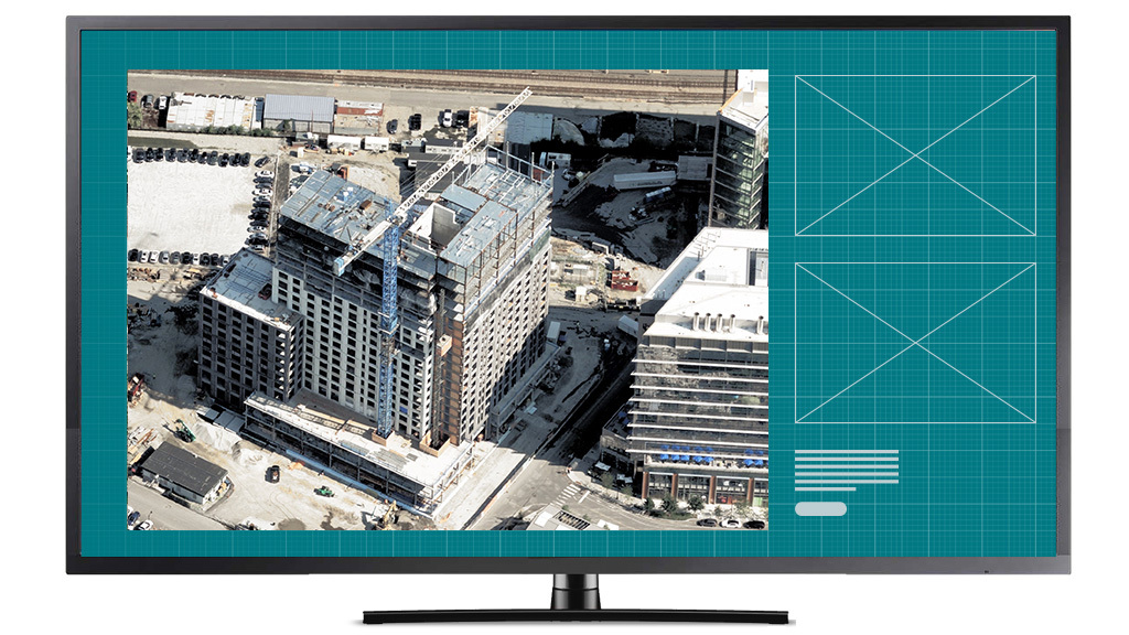
Add ultra-high-resolution oblique imagery to your app to see properties from multiple directions.
Add historical imagery to your app to track changes over time.
Add in layers of your own data onto Vexcel imagery
Easily switch between ortho (2D) and oblique (3D) imagery in your app
Compare and contrast a location with side-by-side views to analyze differences
Aerial imagery is revolutionizing and streamlining the way businesses validate ground conditions, perform remote site inspections, track changes over time, and generate AI-driven analysis. The possibilities are limitless with MapControl SDK.
Real estate platforms can provide in-depth views of residential or commercial listings with focused precision and accuracy.
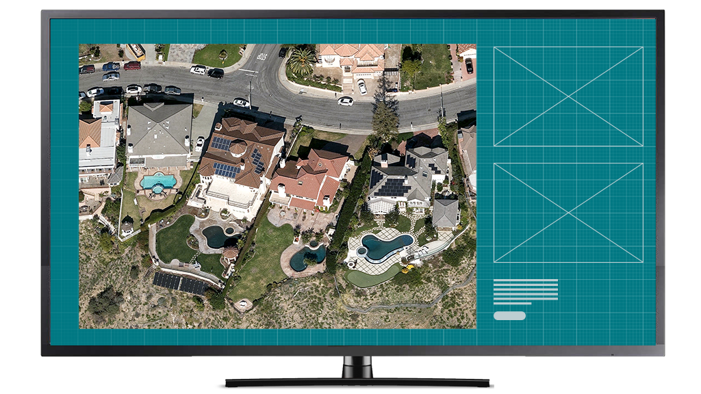
Travel companies can use dynamic imagery to showcase a particular property in stunning detail, helping improve a customer’s booking experience.
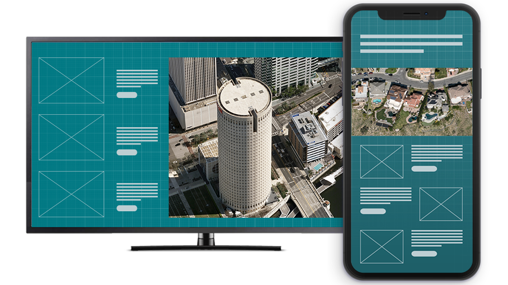
Property assessors can virtually tour and accurately evaluate properties with confidence, streamlining resources and improving workflows.
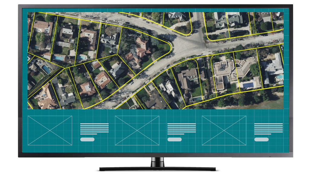
Urban planners can improve development programs with more confidence using highly detailed, regularly refreshed imagery.


Large-format UltraCam cameras & sensors.
vexcel-imaging.com

Aerial surveys by fixed-wing aircraft.
kasurveys.com

Aerial imagery and data for government and business.
vexceldata.com