Assess Utilities & Infrastructure After Disaster with High-res Aerial Imagery
Vexcel is the Operations Partner for the Geospatial Insurance Consortium (GIC) and has been supporting the response to Hurricane Ian’s devastation in Florida.
Natural disasters take a massive toll on communities as they seek to restore and rebuild what’s left or what’s been utterly destroyed. The first and most obvious place to begin is looking at livable space–people need shelter. But followed closely behind this basic need is another: open communication and open roads.
Hurricanes, tornadoes, wildfires–these all can dismantle or destroy phone lines, power lines, or road access. And without these vital elements, which are integral to a functioning community and city, impacted groups of people will struggle all the more.
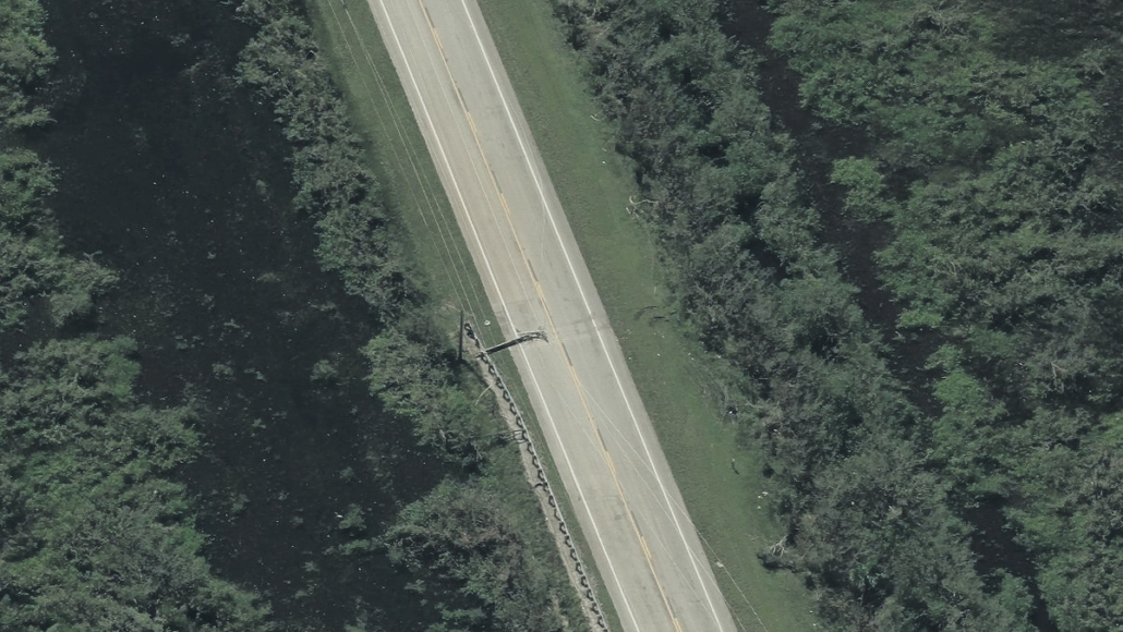
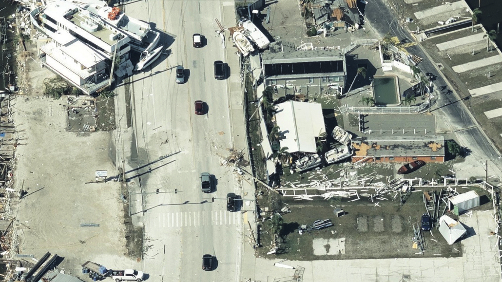
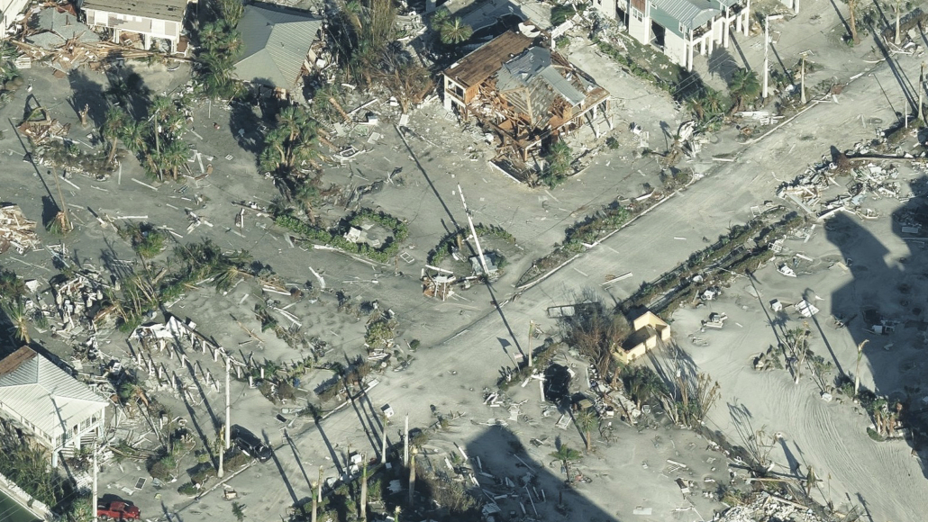
Hurricane Ian walloped the southwestern coast of Florida, leveling neighborhoods and tearing apart or washing out roadways to local islands. Power lines were found scattered across multiple streets and telephone communications were interrupted. This type of infrastructure needs aerial imagery just as much as those involved in restoring or rebuilding homes.
Accurate, Reliable Imagery Helps Boost Service Restoration
As we began supporting the GIC’s Gray Sky response to Hurricane Ian, our planes collected thousands upon thousands of images that showcased how desperate the need was to restore basic services, like phone and power, in many areas. Our high-resolution Oblique and Ortho imagery helped to define the level of destruction and provide valuable insight for many utility needs as shown in the sample gallery below.


