2022 was our BIGGEST yet: Big Data, New Products, More Countries
The Most Transformative Year Yet
2022–where do we even start? A lot can be said about this past year with so many good things being introduced, created, and launched to our customers around the globe. You can read just a smattering of the highlights below. OR, skip directly to our VIDEO to watch it all.
30 Years
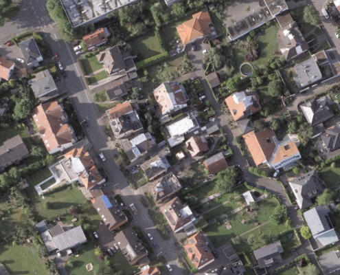
First things first: Vexcel celebrated 30 years as global leaders in aerial imaging! This is an incredible accomplishment, especially when thinking of the ways our history and experience in photogrammetry, camera sensors, and now data collection has largely shaped the imagery industry.
26 Countries
We expanded our imagery and data coverage to 26 countries and territories, introducing our library of content to more people than ever before. TWENTY SIX countries. Visit our Country page to see highlights from all.
100,000 images a day
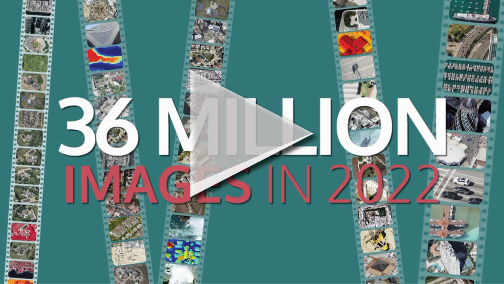
We processed 100,000 images a day–yes, A DAY–adding nearly 36 million images to our library of content. Our fleet of aircraft flew over 3.7 million km² capturing this data in urban and rural areas, helping our customers see and do more with highly accurate aerial imagery.
Smarter Products Through the Use of Machine Learning
We grew our products by leaps and bounds with Elements, our machine-learning product suite that takes understanding of our high-resolution aerial data to a whole new level. We’re talking automated insights of hundreds of millions of buildings and properties, from the U.S. to Australia, France to Japan, Germany to New Zealand—and so many more!
More Access Points
We’ve made it easier to access our imagery and data with APIs, MapControl SDK and Image Services for ArcGIS. MapControl SDK gives you the control to bring our imagery and data into where you work most, giving you a familiarity with how to use it and where to find it. But we also didn’t leave out the largest GIS platform in the world, ArcGIS. Our Oblique, True Ortho, and Ortho aerial imagery is now available within Esri’s flagship program (no plugins required).
New Camera, Enhanced Technology
We introduced another revolutionary camera system in our suite of UltraCam products, the Eagle 4.1. With 4th generation camera technology, the Eagle 4.1 collects an impressive footprint of over 500 Megapixels in RGB and Near-infrared. Plus, it’s enhanced by our proprietary Adaptive Motion Compensation (AMC) to reduce image blur caused by multi-directional camera movement during flight. This game-changing tech is unique to all fourth generation UltraCam systems and helps deliver the highest quality of aerial imagery possible.
Covered Major Disasters in Several Countries
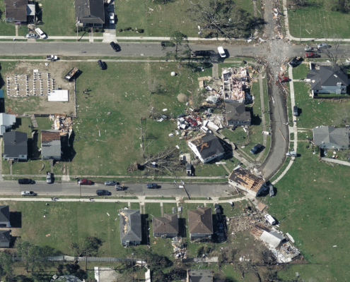
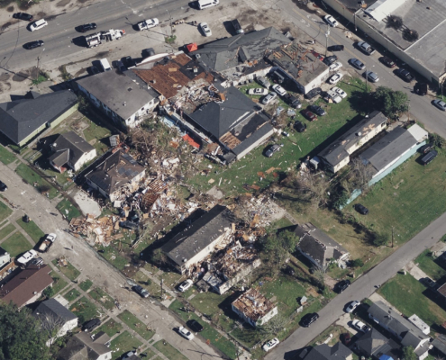
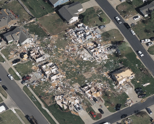
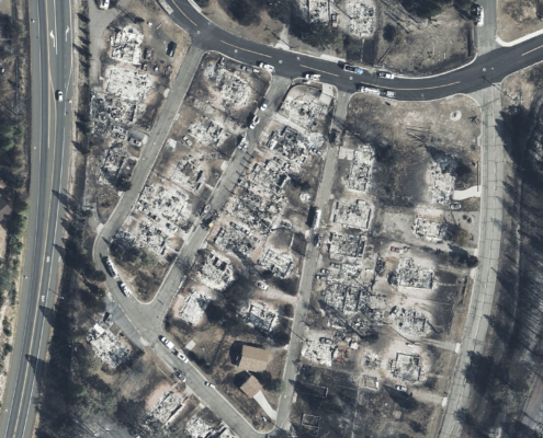
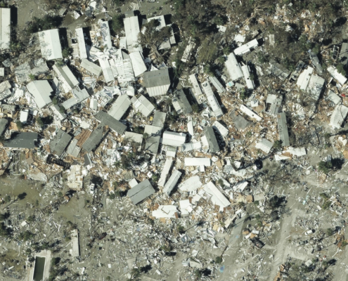
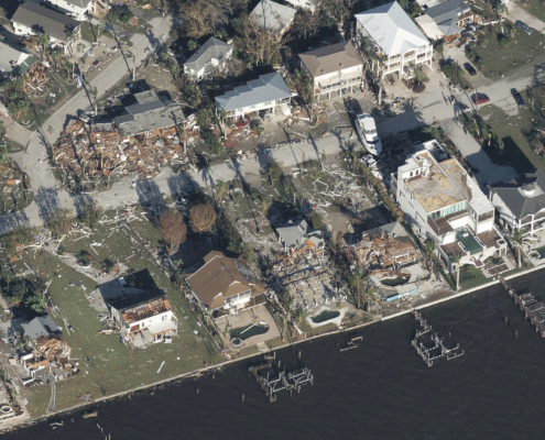
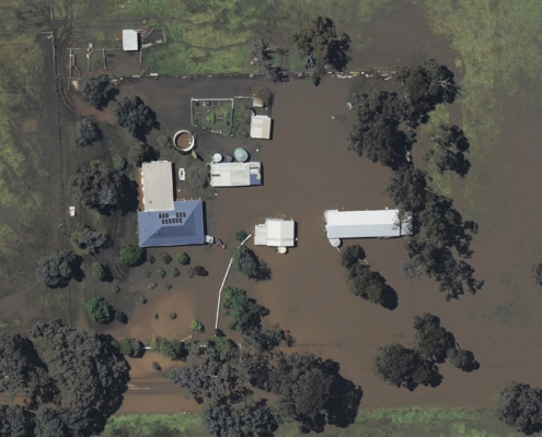
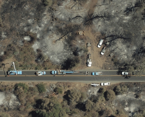
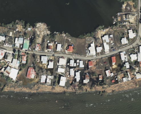
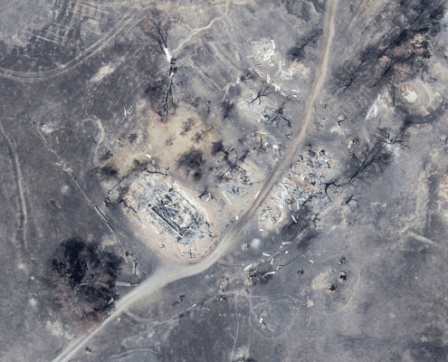
Disaster imagery is one of the many ways we collect and deliver high-resolution aerial imagery and geospatial data to our customers, federal relief agencies, and emergency managers. This is done mainly to support our partner, the Geospatial Insurance Consortium (GIC), an at-cost organization dedicated to the insurance industry. This past year, we collected disaster imagery in several countries, covering:
- Massive flooding in Australia, tornadoes in Germany, a hurricane in Puerto Rico, and multiple disasters in the U.S. such as wildfires, tornadoes, and Hurricane Ian
Thanks to our team and to our customers
Thank you to our team across the globe for an absolutely stellar 2022. And thank you to all of our customers who support and depend on our imagery and data to improve the way they work. We’re looking forward to 2023!

