Capturing disaster imagery: the Tennessee tornadoes
Thousands of Tennesseans are dealing with the aftermath of at least two powerful tornadoes that tore through Tennessee on Saturday, December 9. More than 17,000 homes and businesses were without power Monday morning in hard hit areas of Nashville, Clarksville, and Hendersonville. Parts of these communities were hit with a tornado that had wind peaks of up to 125 mph, while one tornado cut a 43-mile path across two counties. At least six people were killed with multiple families displaced due to destroyed and majorly damaged homes.
As the Operations Partner for the Geospatial Insurance Consortium (GIC) and their Gray Sky team, our planes were able to activate quickly Sunday morning to begin the first collection of aerial imagery, but battled with significant cloud cover still in the area so planned to continue collection Monday in order to ensure proper visibility across the impacted areas. First look imagery was published less than 24 hours after collection with additional imagery coming less than 24 hours after that.
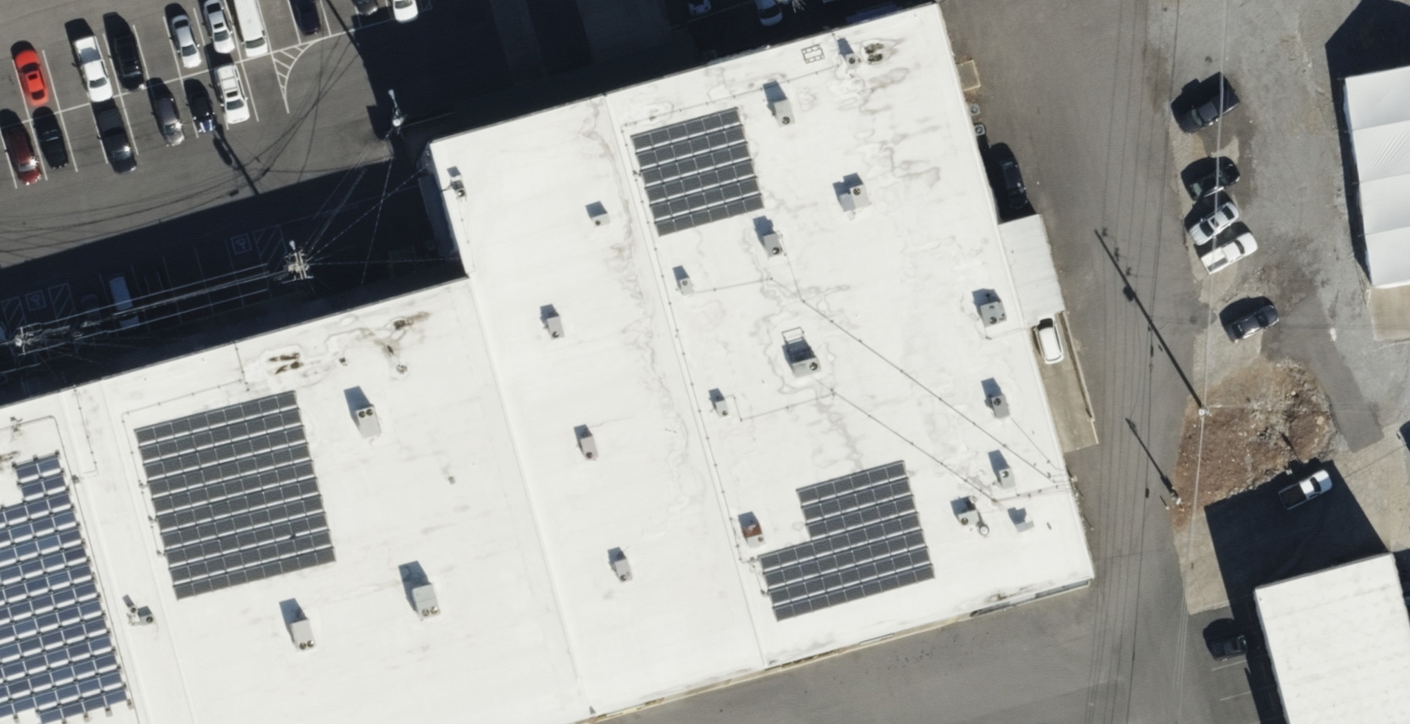
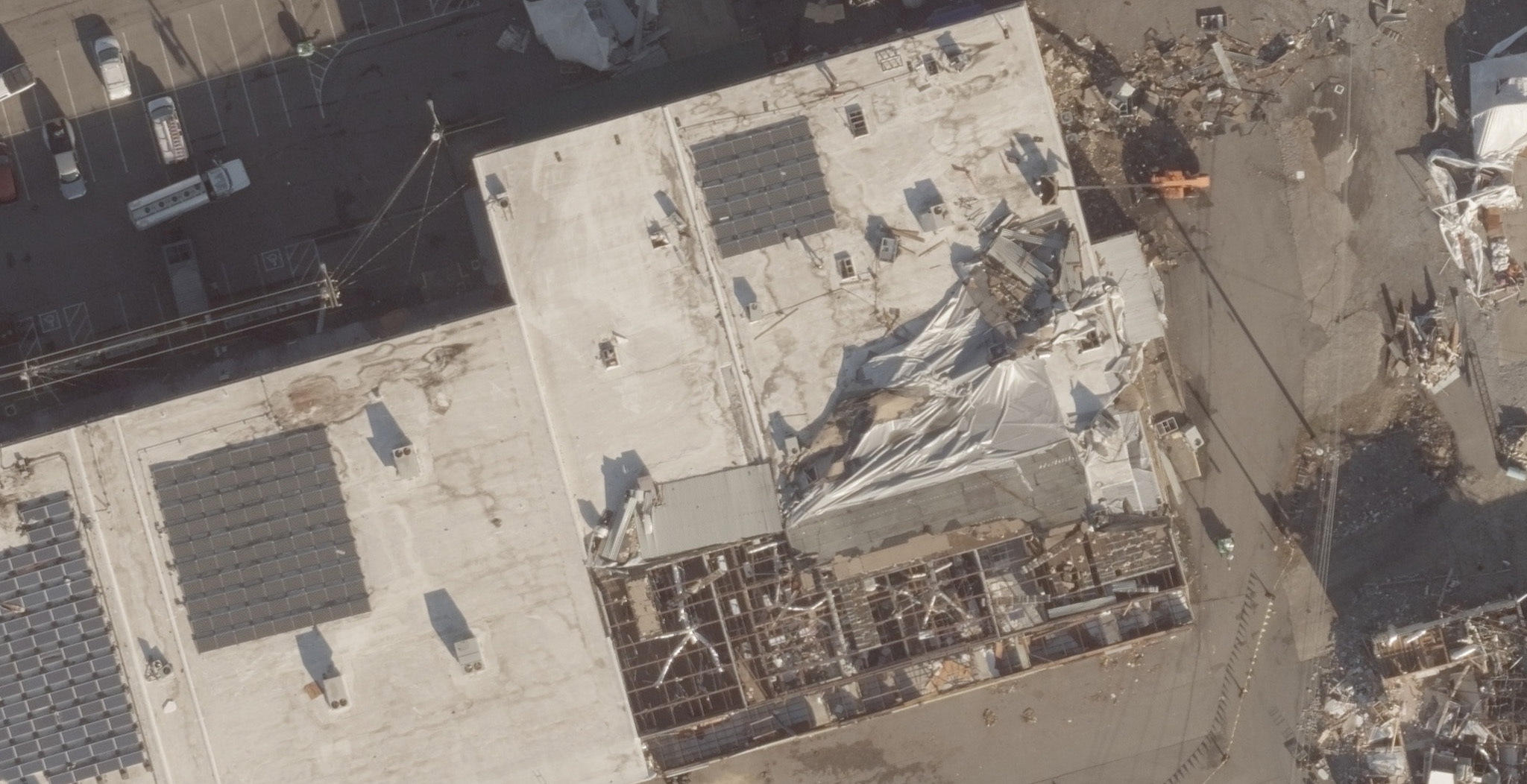
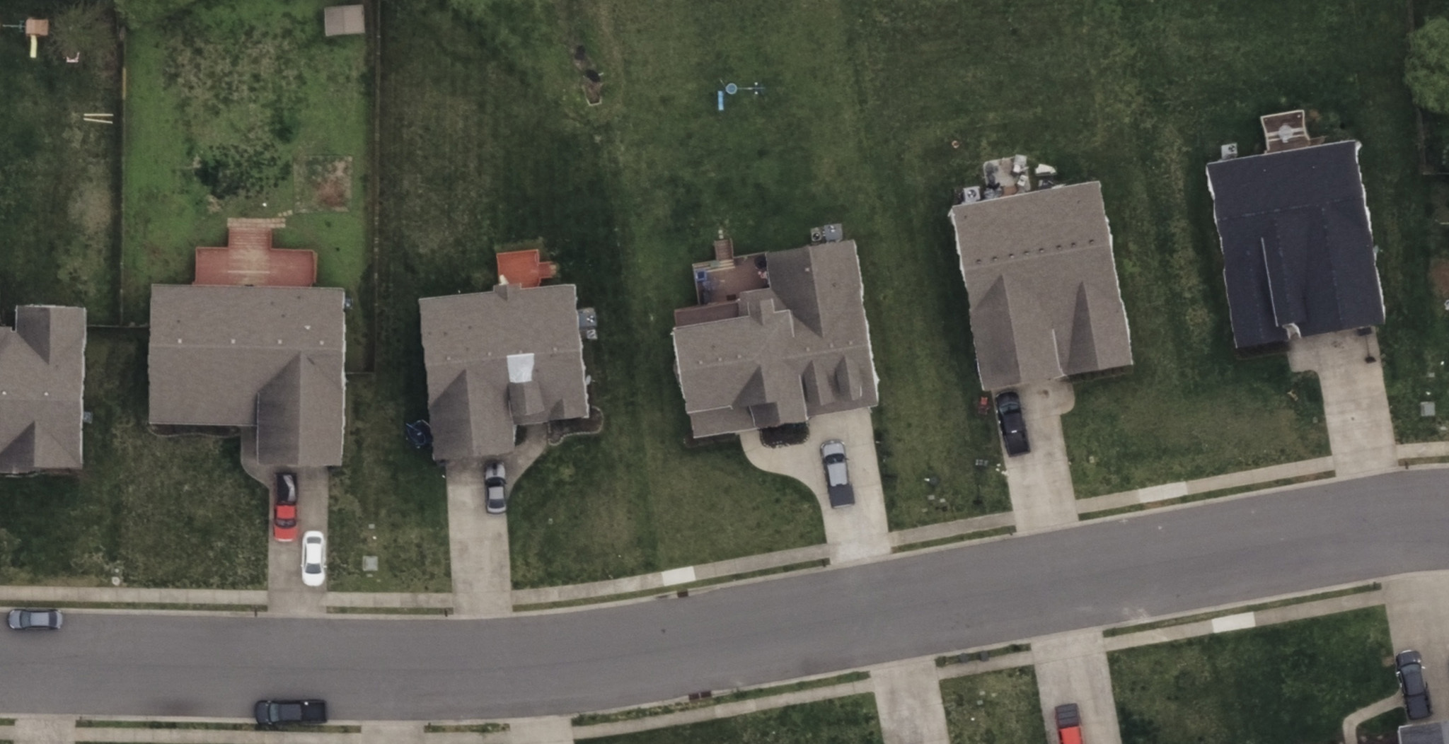
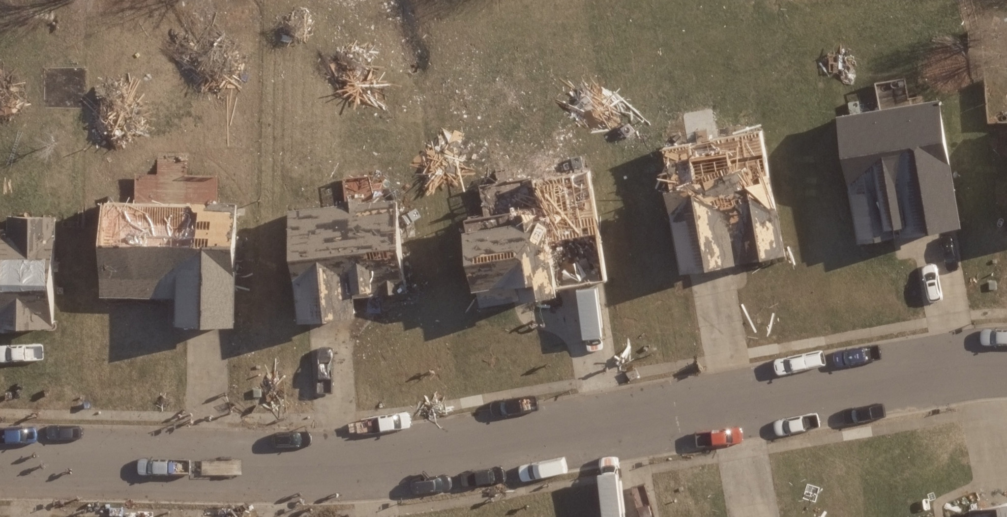
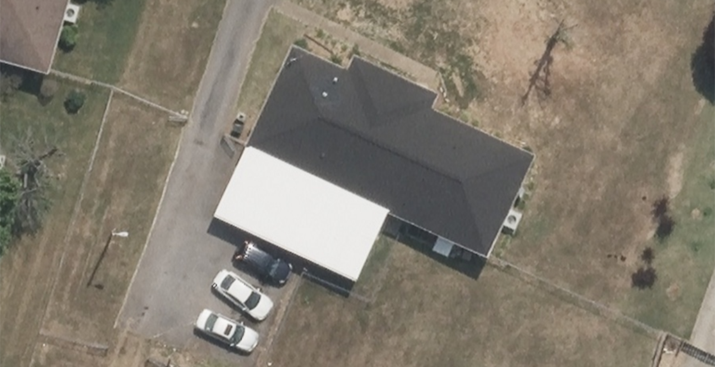
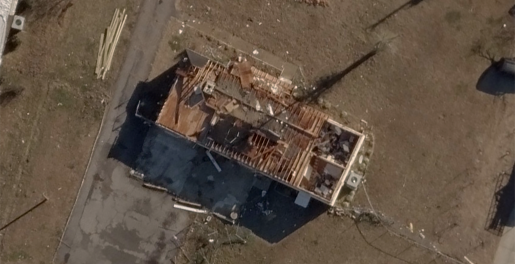
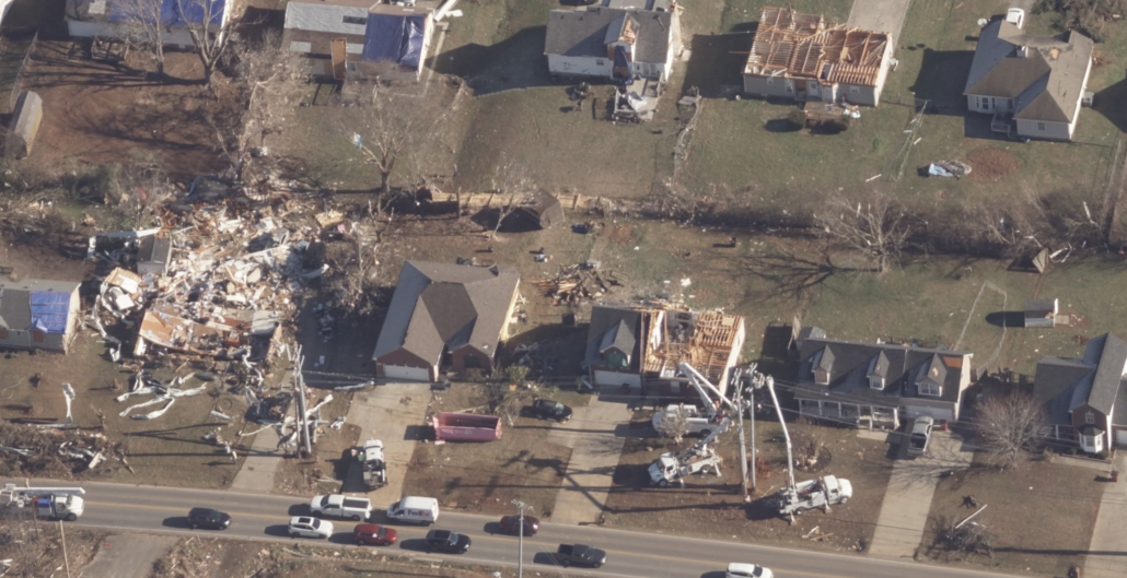
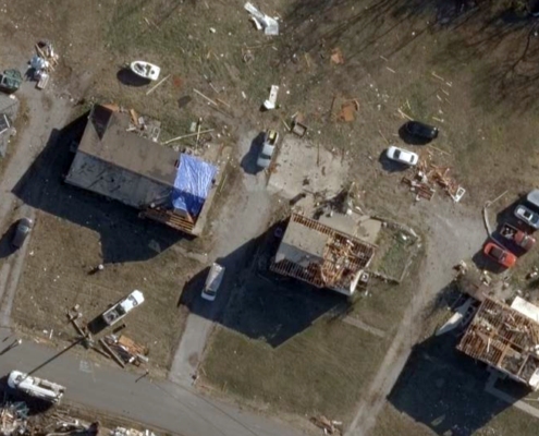
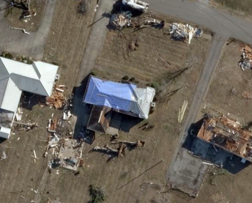
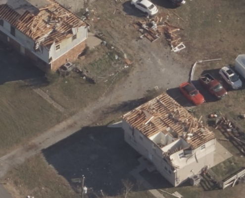
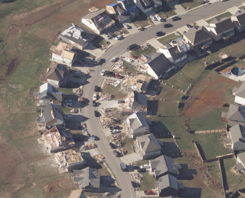
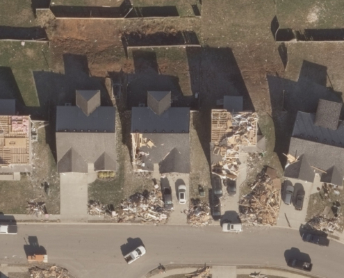
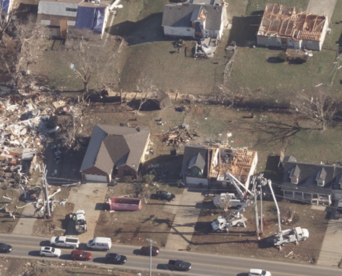
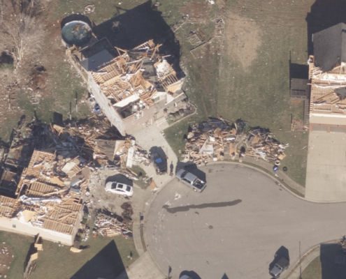
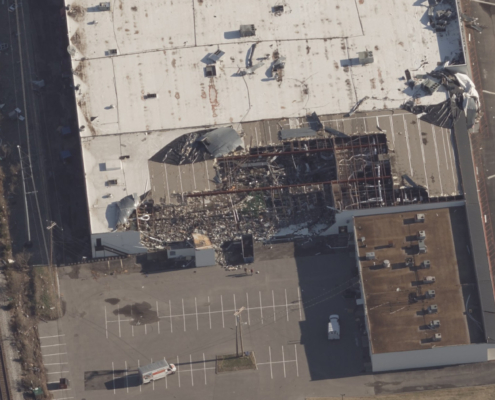
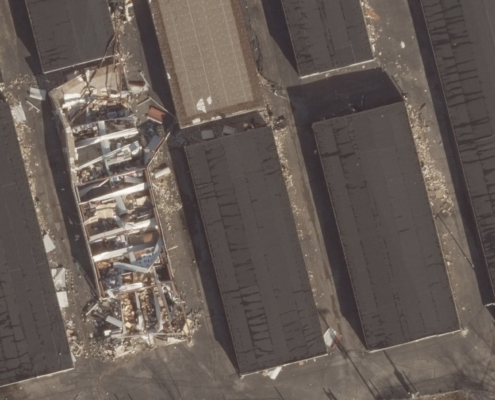
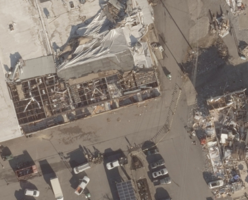
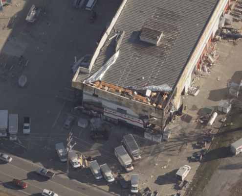
Below are just a few of the timestamped aerial images of these communities and the devastation they are dealing with following the tornadoes impact, including ortho, oblique, and before/after images. With multiple views of properties, GIC members–as well as government officials–can more readily assess the level of damage sustained by their customers. It’s also a way to validate the erratic nature and randomness of tornado damage; one home could be completely destroyed while others right next to it remain untouched as shown in the before/after image below.
All of this imagery, along with Damage Assessment analytics, helps end users get a clearer picture of what families and individuals are really suffering through concerning the loss of their homes or businesses and the impact to infrastructure such as utilities, phone, and roadways.
Before and After Imagery
