Elements AI
Damage Assessment
Vexcel uses AI on its Gray Sky disaster imagery to generate damage scores and property-level assessments. Supports insurers, emergency managers, response teams, and more.
Vexcel uses AI on its Gray Sky disaster imagery to generate damage scores and property-level assessments. Supports insurers, emergency managers, response teams, and more.
Destructive weather patterns are increasing year after year with millions of people impacted, needing help in rebuilding and restoring their communities. Damage Assessment takes Vexcel’s high-resolution Disaster imagery to new heights by providing automatically calculated insights on damaged properties. It’s data helping to transform the path to restoration and recovery for so many.
When catastrophic weather hits, communities are left hoping relief agencies, insurers, and emergency managers will be quick to respond. Disaster imagery is just the first level of understanding around the aftermath of a storm. But now you can take it to the next level with automated insights, delivered in seconds, across Vexcel’s high-resolution disaster aerial imagery. It’s a better way to highlight the areas of greatest need to aid in response, recovery, and restoration efforts, all thanks to applied machine learning.
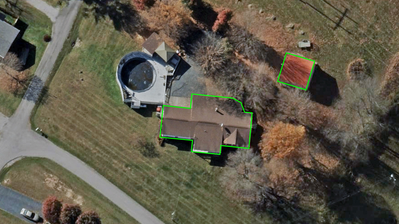
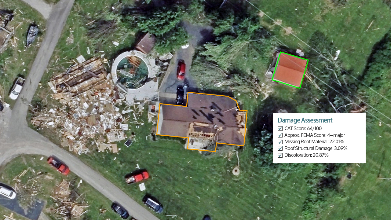
Going beyond what’s discernible by the eye, Damage Assessment provides multiple pieces of information on a damaged structure. In this sample report, an end user can quickly assess a property in multiple ways, from an overall CAT score to how much roof material is missing to detecting tarp coverage. This report will be available on every property in our post-disaster aerial collections.


Automatically calculated property analytics provide numerous benefits, including how end users can scale responses, manage resources, and pinpoint key learnings to better prepare communities for future events.
Use cases include:
Insurance: insurers can proactively identify policy holders with damaged property and begin the claims process immediately
Emergency management: project managers can locate the biggest debris obstructions on structures or other property challenges
Property assessment: assessors can detect changes on a property to update tax rolls in cases of extreme loss