Esri UC 2022 – Full of Excitement and Announcements
The excitement and energy was palpable at Esri’s annual User Conference held in San Diego, CA last week. It was the first time in three years attendees could meet face-to-face, and all who were there were taking full advantage of the opportunity. No more virtual meeting rooms; it was time to see all kinds of products up close and personal.
As for our team, the event couldn’t have come at a better time. Not only was it a thrill to finally talk with attendees and answer their questions in person, it was also a chance to showcase our latest products, including the highly anticipated Elements: Building Attributes product. You can read the press release we shared on the opening day of Esri UC which created quite a buzz for those who visited us in our booth.
Plenary Session
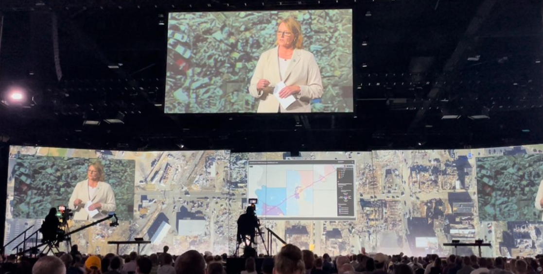
In the opening plenary session, Deanne Criswell (pictured above), a FEMA administrator, shared the role and importance of aerial imagery and geospatial data for disaster response and recovery. She used our imagery to showcase how critical it is for those responding to emergency situations to have reliable, consistently accurate aerial data to understand the real impact of a catastrophe. With our disaster imagery program, we are able to capture and then publish aerial imagery within 24 hours after collection to help emergency managers, insurers, and other government entities have vital information to help those in need.
Booth Buzz and Presentations
Beyond the plenary, attendees filled our booth or filled seats at presentations given by our VP of Product, Robert Carroll. Of particular note and big news for Esri UC attendees: our Image Services for ArcGIS capability. “We received very positive feedback from the ArcGIS community around us making our Vexcel data native for ArcGIS image and OIC services,” shared Carroll. “It’s now as easy as selecting the imagery layer and adding it to the map.”
Steve Lombardi, VP of Customer Advocacy for Vexcel, couldn’t help but feed off of the excitement for those swarming the booth for demos and information. “We loved all the engaging conversations we were having with those who came to our booth,” shared Lombardi. “Showing all of our available imagery–ortho, oblique, disaster, our Elements products–in the Esri environment was very powerful, especially since it’s 100% native in the Esri interface with no need for plug-ins.”
Climate Discussions Helped by High-res Aerial Imagery
In a Lightning presentation, Rob Carroll shared information on “The Winds (and Fires) of Change: How Aerial Imagery Helps Communities Rebuild”. It focused on our disaster imagery program and how one of our Elements products, Damage Assessment, will enable insurers and emergency managers to better understand the scope of damage within seconds. “Post-disaster analytics will have a dramatic impact on getting communities back on their feet after a disaster,” commented Carroll. “And our Damage Assessment product is the perfect fit to aid in that recovery.”
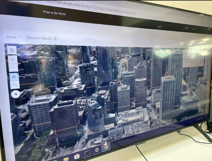
We also discovered Esri highlighting our imagery and SURE for ArcGIS in their 3D reality pod–a wonderful find!
Overall, it was a fabulous few days at Esri UC with many new friendships and partnerships made. We’re already looking forward to next year!


