Need Fast Access to Imagery and Data in ArcGIS? Vexcel Has You Covered
You know how to map and solve problems in ArcGIS. But when it comes to data, where do you turn for trusted, fresh aerial imagery?
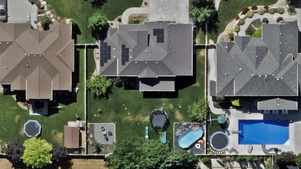
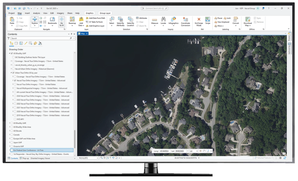
Vexcel makes it easy. Vexcel Image Services for ArcGIS provides native access to frequently refreshed, accurate aerial imagery and elevation data. No extra plug-ins or custom integrations are required. Government agencies, non-profits, and private industry rely on Vexcel aerial data for emergency management, property and asset management, public safety, urban development, environmental planning, and more.
What’s Available in Vexcel Image Services for ArcGIS?
Vexcel offers a suite of imagery and data products that can be licensed to the locations you need.
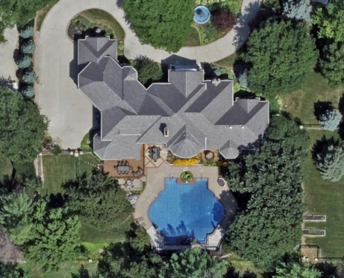
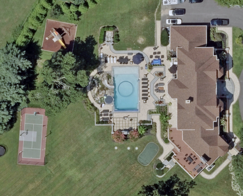
- Orthomosaic imagery (3″/7.5cm & 6″/15cm resolution) for urban and rural areas across the U.S., with additional coverage in 40+ countries
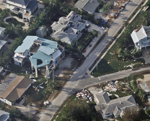
- Oblique imagery (3″/7.5cm resolution) for multi-perspective site views in urban areas
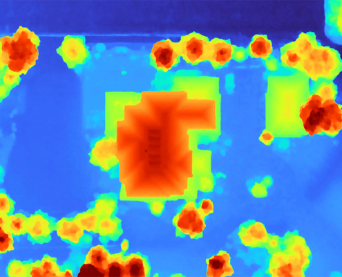
- Elevation models (DSM and DTM) for elevation and terrain analysis
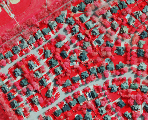
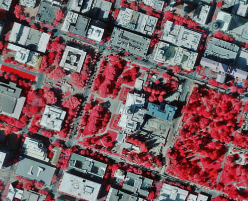
- Multispectral imagery for vegetation health and change detection
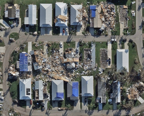
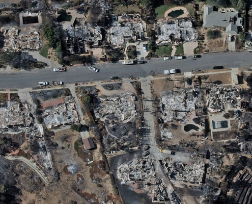
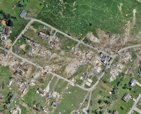
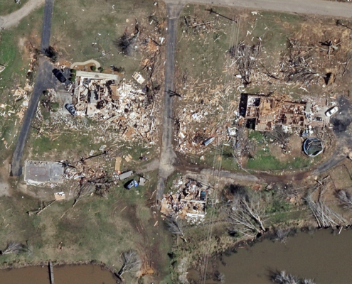
- Gray Sky imagery following hurricanes, wildfires, and tornadoes
Updated Imagery Synced with Esri Apps
Vexcel collects imagery year-round across more than 40 countries. As new imagery is processed, it is published and synced with Vexcel Image Services for ArcGIS. With 150,000 images published each day, your ability to see more is constantly expanding.
Customer Spotlight: Ventura County, California
“Our partnership with Vexcel has proven to be the right aerial imagery solution for us. After years with another company, the ease of transition to their data was seamless. Multiple acquisitions throughout the year at varying resolutions have satisfied our stakeholders and improved workflows across teams.”
High-quality imagery is essential for disaster response, infrastructure assessment, environmental monitoring, and more. Support your ArcGIS projects with consistent, reliable data that is readily available when you need it.
See It in Action at Esri UC
Join us at the Esri User Conference in San Diego, July 15 to 17. Visit Booth #107 to experience Vexcel imagery inside ArcGIS firsthand.

