High Resolution & Current Data
Aerial Imagery for Insurance Underwriting
High-resolution imagery and AI property insights to help underwriters assess risk and validate exposures.

High-resolution imagery and AI property insights to help underwriters assess risk and validate exposures.
“Our partnership with Vexcel is significant. By integrating their cutting-edge aerial imagery and property analytics into our operations, we are enhancing our ability to deliver faster, more accurate underwriting and claims services,” said Ryan Jesenik, COO of Orion180. “This collaboration reinforces our commitment to innovation, empowering our team and partners to better serve our customers and respond to their needs, particularly in times of disaster.”

Evaluating property is made easier with high-resolution imagery and coverage in 40+ countries from Vexcel. In the U.S., Vexcel covers 99% of the population in urban and rural areas, collecting in urban areas up to three times per year.
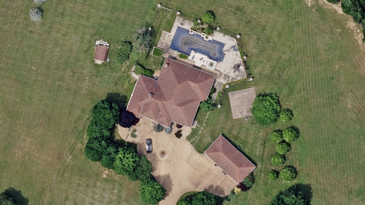
With greater detail comes the ability to see what needs to be seen like roof condition, tree coverage, property changes, and more. Quickly assess properties and assign value when determining policy decisions.
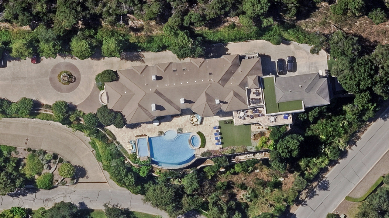
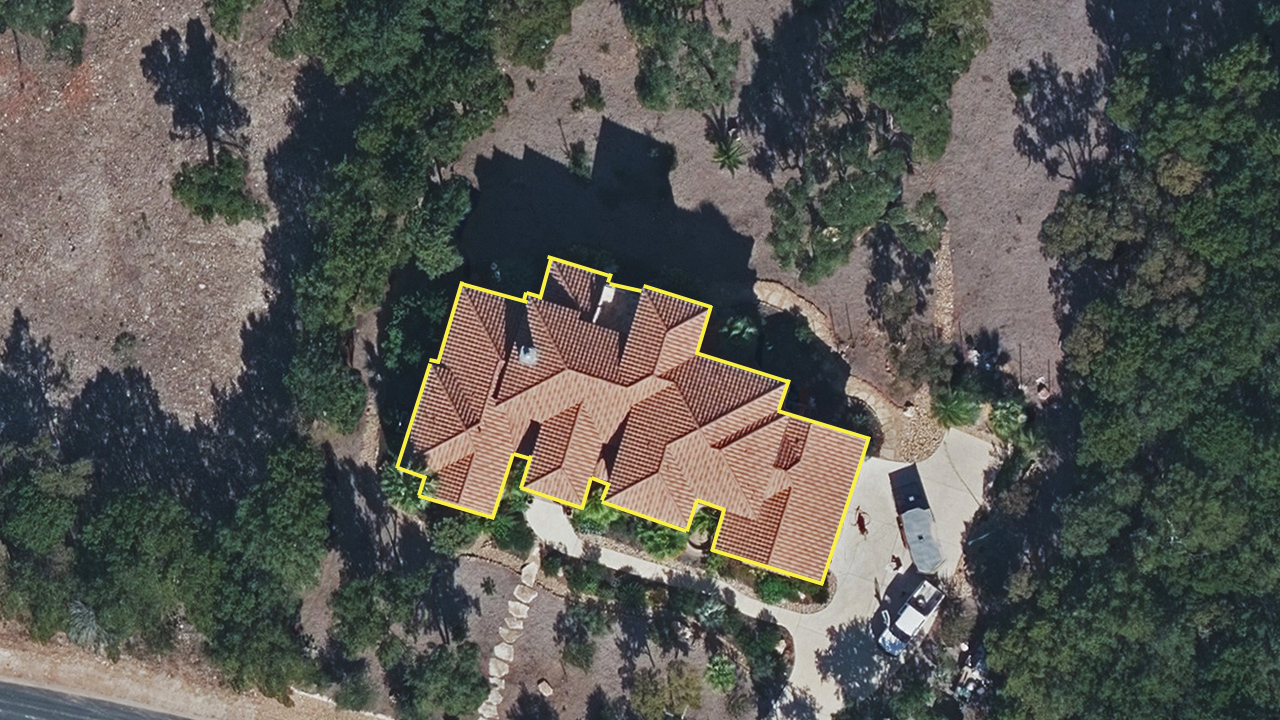
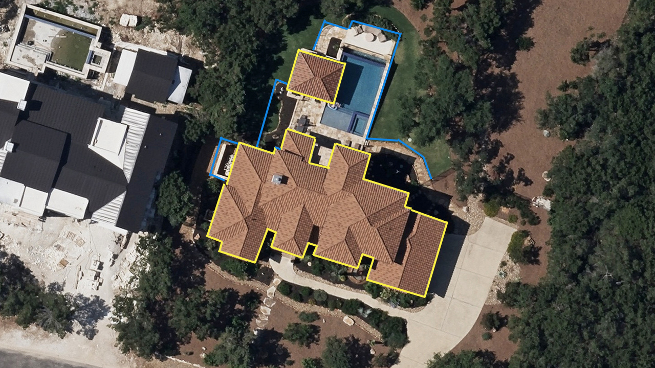
Vexcel has ongoing collections, so the information underwriters have access to is current, enabling better, more efficient decision making. And with a library of historical imagery available as well, underwriters can use Vexcel’s timestamped data to verify and validate change on a property. Compare and contrast imagery to identify additions or changes.
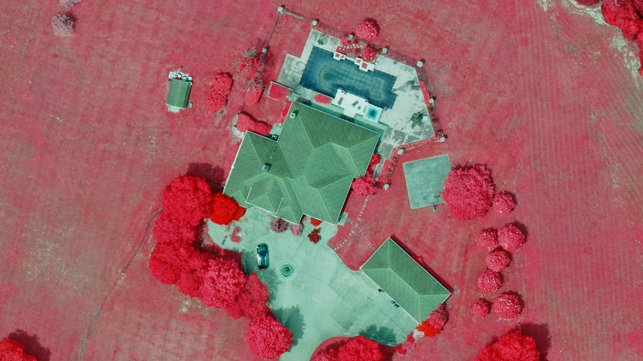
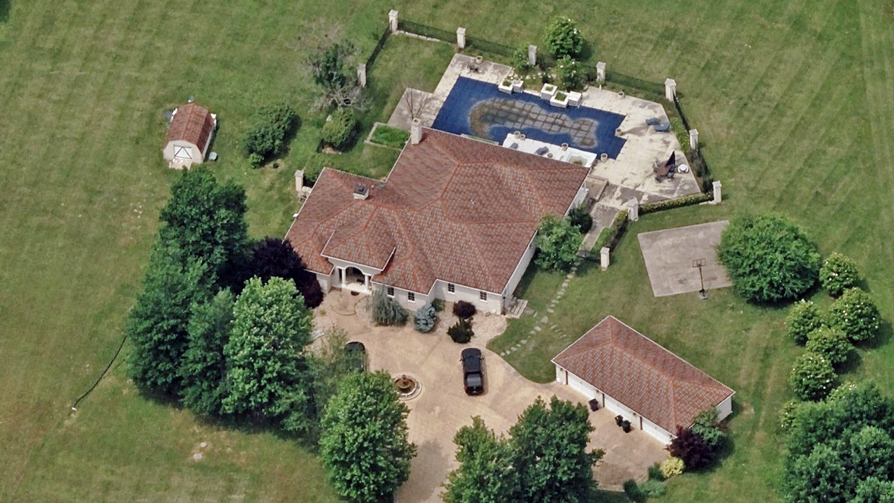
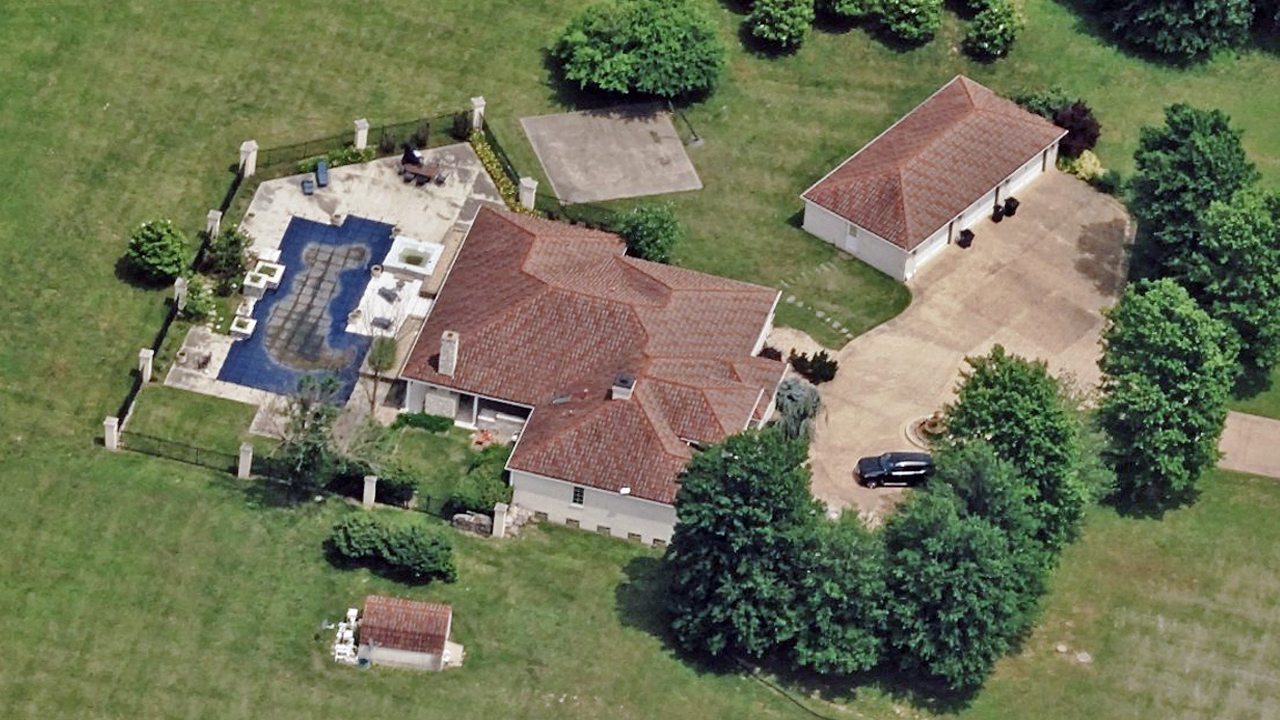
See urban properties from multiple viewpoints and in multiple ways to better determine risk on a property–a one-stop shop to see everything you need. Make measurements on TrueOrtho imagery. Determine vegetation health for fire risk with Multispectral. Walk virtually around a home with Oblique. Use Digital Surface Models to calculate risk for flood or erosion. View all attributes on a home with Elements. Use this information to communicate to a customer needed updates in coverage to better protect their investment.
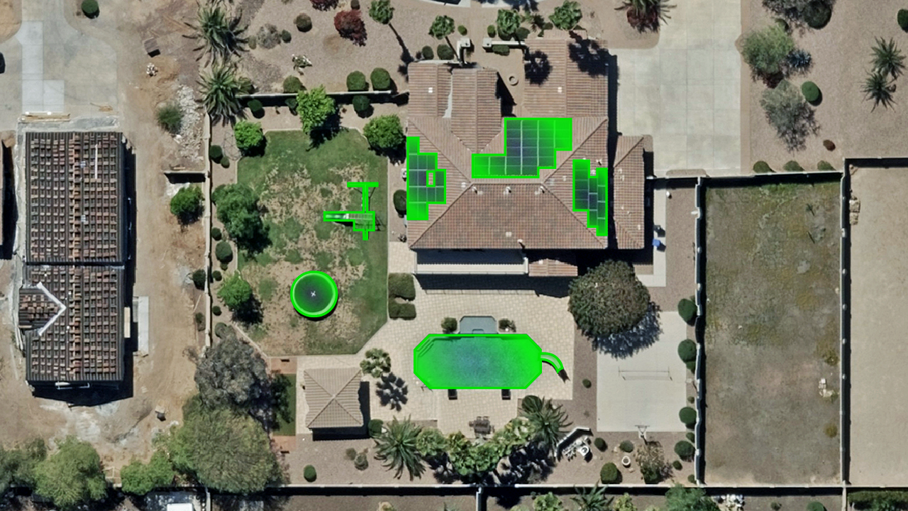
Gaining real insight into property is more than just looking at high-resolution imagery. Underwriters can glean crucial insights by using AI attributes to easily and quickly identify key features such as swimming pools, solar panels, tree overhang, and more.
By leveraging AI-derived insights, underwriters are shifting their workflows to be more efficient and better quantify property characteristics for risk assessment. Vexcel provides these AI automated attributes and also aligns with partners who provide easy access to these valuable details as well.
Ready to get started with Vexcel’s imagery? Bring Vexcel imagery into your apps, software, solutions, and platforms–where and when you need it.

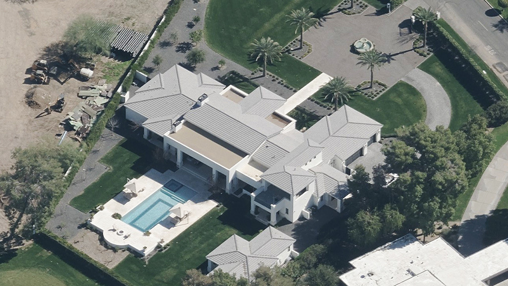
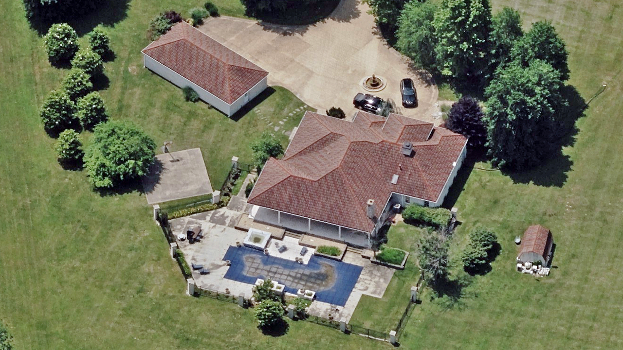
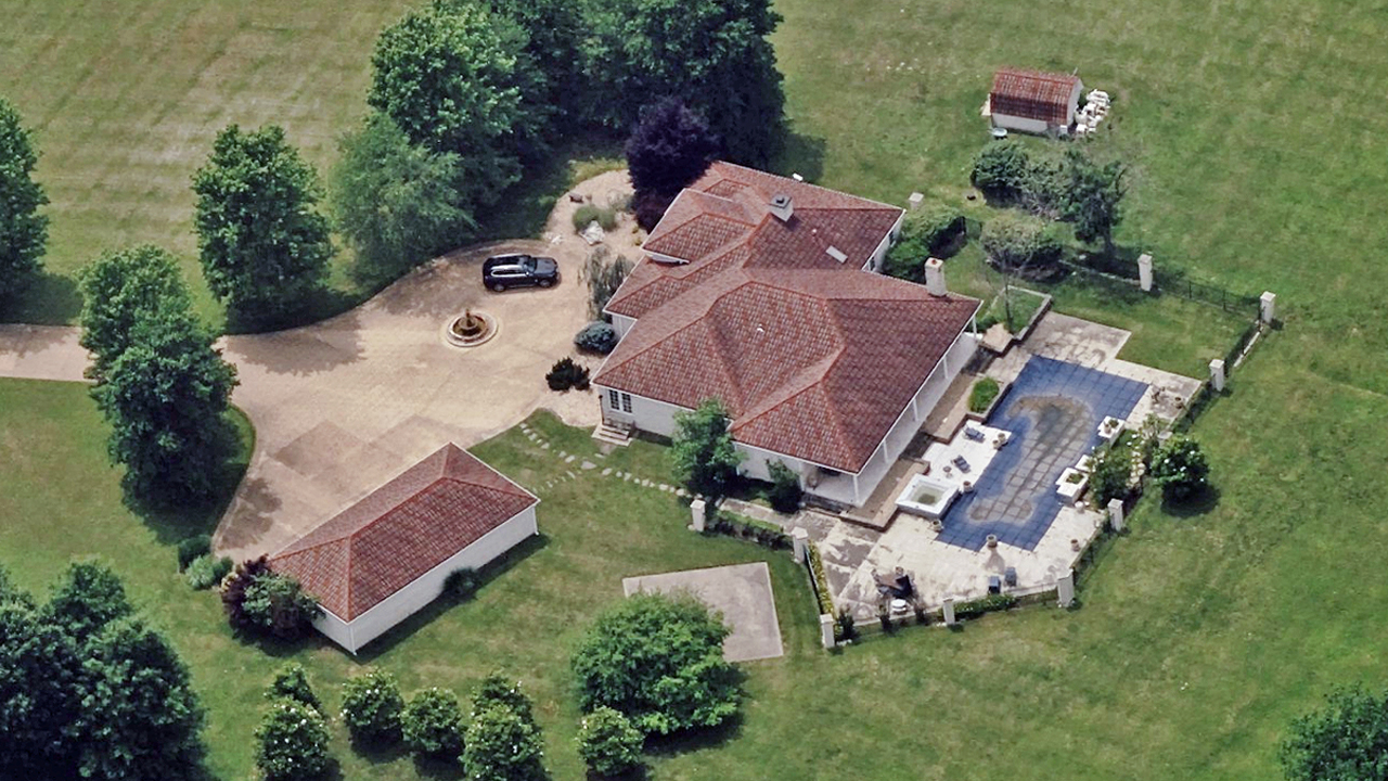
View properties from all four cardinal directions in high resolution from your desktop to evaluate risk and property condition.
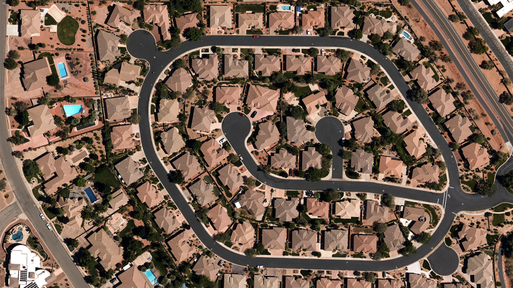
Get top-down views of urban, suburban, and rural properties in high resolution to gain greater insights.
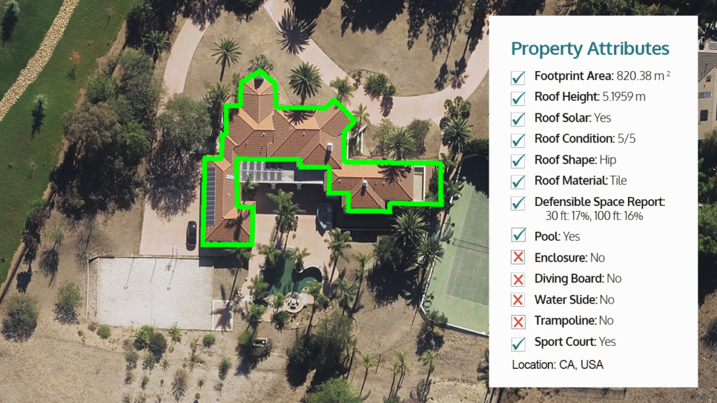
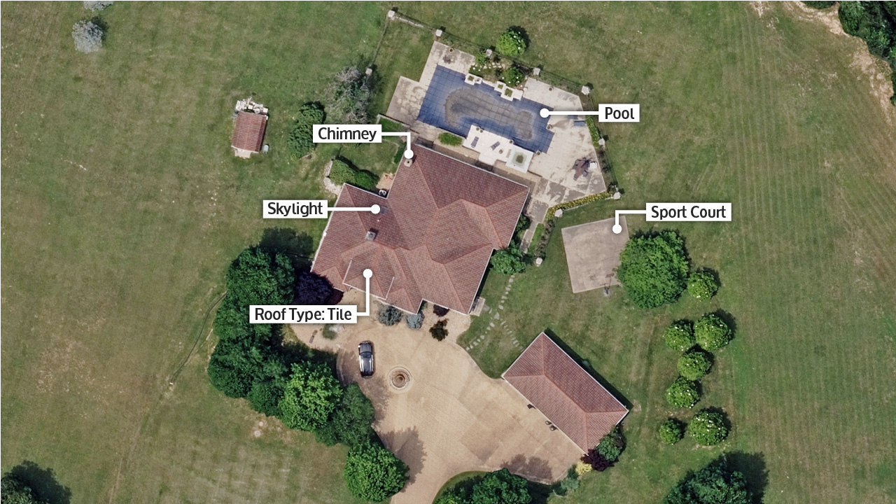
Get AI-derived property and building attributes in seconds helping identify key pieces of information such as pools, footprints, trampolines, and more.
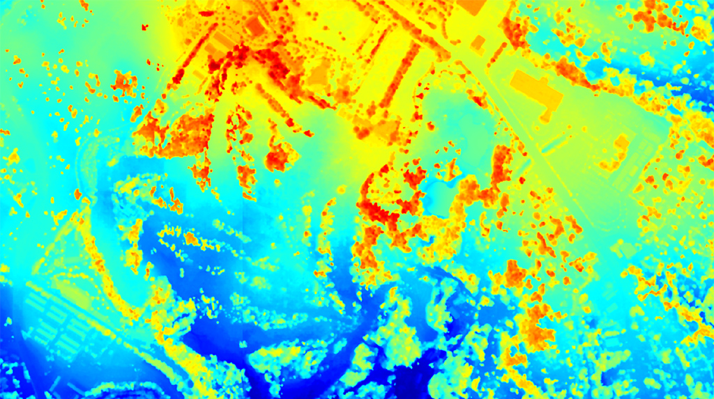
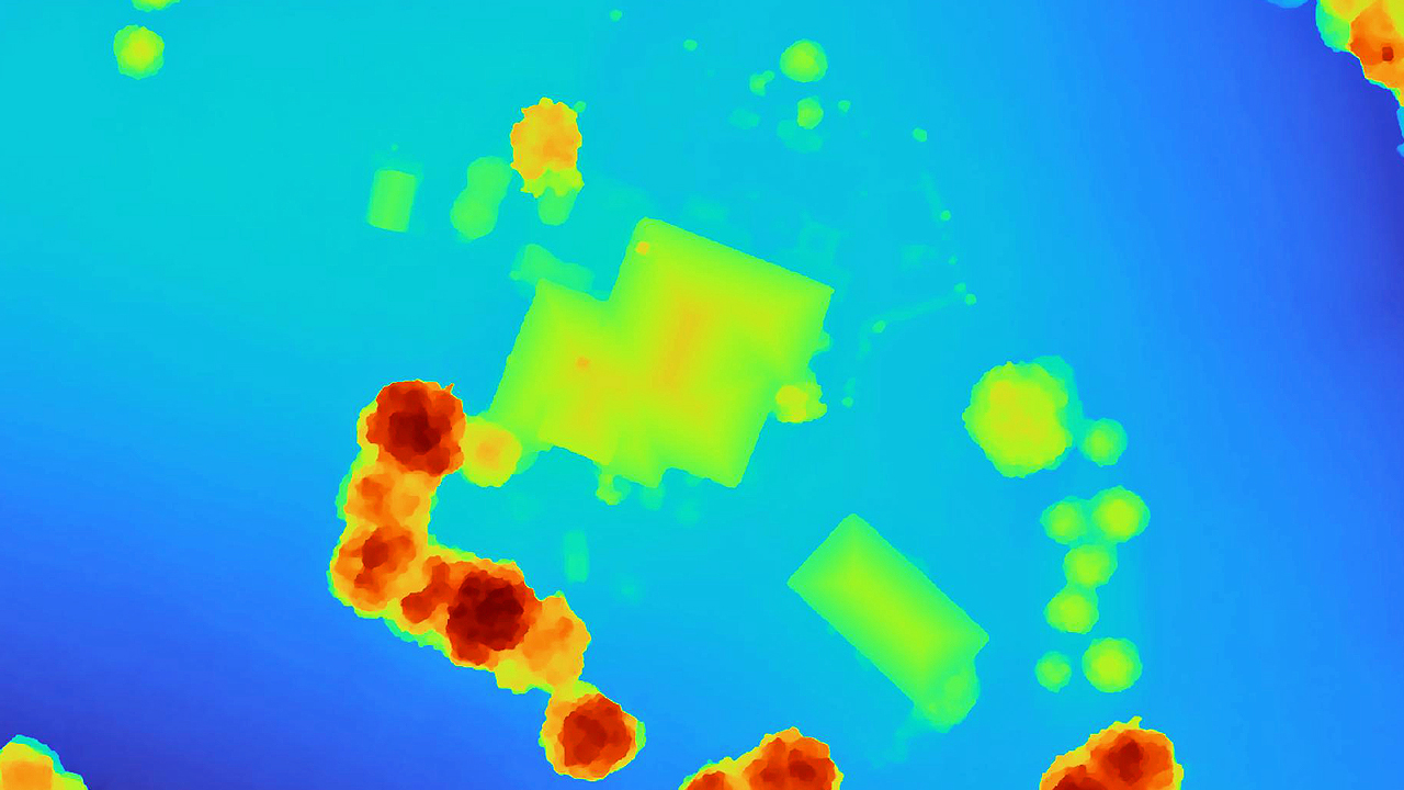
Calculate and model risks from natural disasters such as river flooding, erosion, or rising sea levels with DSM.
Q: How does aerial imagery improve insurance underwriting accuracy?
Vexcel aerial imagery gives insurers a current, detailed view of commercial and residential properties and surrounding conditions to support underwriting decisions. Underwriters use Vexcel imagery to review roof condition, property characteristics, nearby hazards, vegetation, property changes, and other visible risk factors without always sending inspectors into the field. Vexcel also provides one of the world’s widest aerial imagery coverage programs, covering 45+ countries and territories, including rural and urban areas across the contiguous United States and Western Europe.
Q: What property details can underwriters see from Vexcel imagery?
Vexcel imagery helps underwriters review commercial and residential properties, including rooftops, building condition, solar panels, pools, trampolines, nearby vegetation, outbuildings, property additions, surrounding structures, and other visible property characteristics. Oblique imagery also provides angled perspectives to better understand structures and surrounding context.
Q: What resolution is Vexcel’s aerial imagery for underwriting?
Vexcel provides high-resolution aerial imagery at 7.5cm and 15cm resolutions depending on the collection program and geography. Vexcel’s imagery provides time-stamped, highly detailed, highly accurate property-level views commonly used for underwriting, property review, and risk analysis. This imagery offers a strong balance of coverage and resolution for insurance workflows, providing more detail than satellite imagery and wider coverage than most drone programs.
Q: How often is Vexcel’s property imagery updated?
Vexcel regularly updates aerial imagery across its global collection programs, including annual and ongoing refreshes in many urban and high-priority areas. Update frequency depends on the region and collection program. See our Coverage areas for more details.
Q: What AI-derived property attributes are available for underwriting?
Vexcel’s Elements AI-derived property data includes attributes such as building footprints, roof condition, roof material, roof shape, roof height, roof discoloration, tree cover over roofs, solar panels, pools, trampolines, hardscapes, defensible space, vehicles, and parcel tree cover. Insurers use Vexcel AI-derived property data to support underwriting, portfolio analysis, risk assessment, and property review workflows across commercial and residential properties.


Large-format UltraCam cameras & sensors.
vexcel-imaging.com

Aerial surveys by fixed-wing aircraft.
kasurveys.com

Aerial imagery and data for government and business.
vexceldata.com