Vexcel Featured in Esri UC Plenary
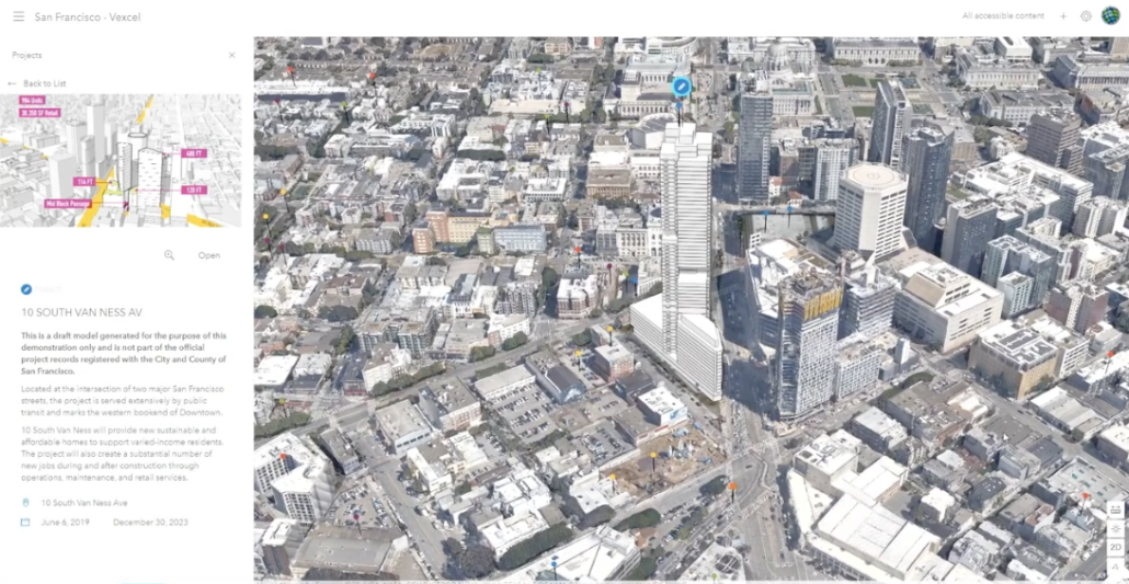
The annual Esri User Conference is live this week with over 62,000 virtual attendees from around the world. During the opening Plenary Session, we were introduced as an Esri partner for city planning and development, using our immersive 3D data in San Francisco. The data was brought into Esri’s expanded ArcGIS Urban platform to create a digital twin and showcase hundreds of projects currently active across the city. View the entire presentation in the video below.
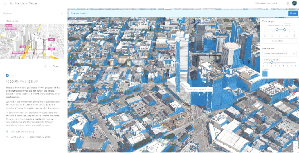
The focus of Esri UC this year is GIS–Creating a Sustainable Future. Our comprehensive library of geospatial data provides GIS planners and administrators the ability to model the real world with accuracy and precision. You’ll notice in the video the ability to spatially analyze data around a proposed development and evaluate shadow analysis.
Check out more information on how we are supporting sustainable cities with rich geospatial data here: vexceldata.com/esriuc.


