See It. Plan It. Perfect It. How Vexcel Data Elevates AEC Projects
Support better planning for your AEC projects with aerial imagery and geopatial data products from Vexcel
In the Architecture, Engineering and Construction (AEC) world, the smallest detail can make the biggest difference. Whether you’re designing a skyline-defining tower, mapping out new infrastructure, or bringing a bold vision to life for stakeholders, better visualization is key to getting the results you want. You need to be able to plan and help shape what comes next using reliable, trusted data.
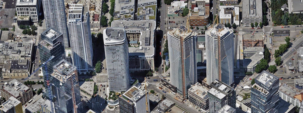
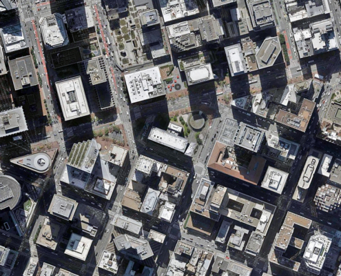
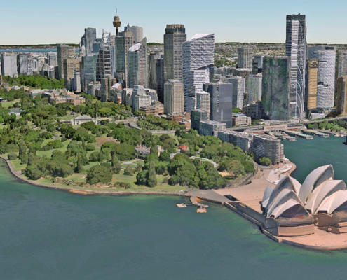
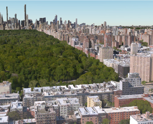
Vexcel delivers a robust library of imagery and data, including detailed elevation models and immersive off-the-shelf 3D Cities. It’s a ready-to-use option to support your project planning efforts so you can start solving challenges before they even reach your job site. Vexcel offers a toolkit so you can plan–then build–with total confidence.
Step Into the Future with 3D Cities
Imagine being able to walk through your project before a single shovel hits the ground. With Vexcel’s 3D Cities, that’s exactly what you get. These ready-to-use 3D models drop you right into the environment, letting you see how a new project fits into its surroundings, spot challenges early, and wow stakeholders with a vision that feels real. Or even challenge the perception of what is real! Can you (quickly) spot what we did using our 3D Cities data below?
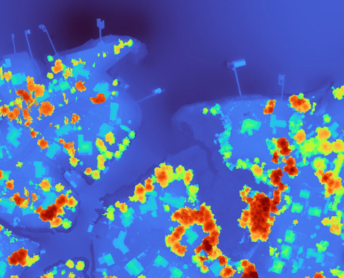
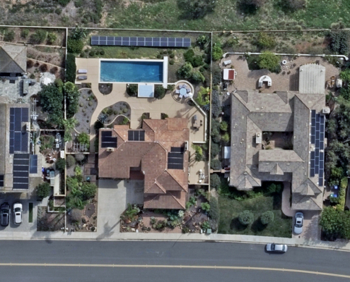
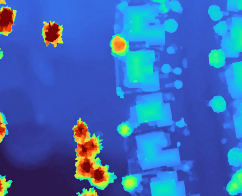
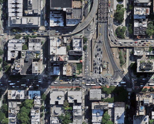
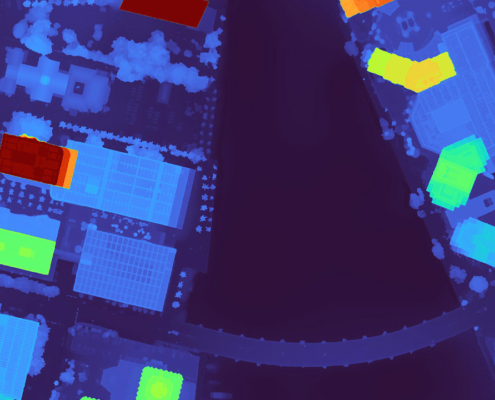
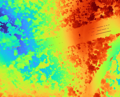
Maybe a high-rise on a San Diego beachfront isn’t on the plan. But if you’d rather build your own custom 3D experience? No problem. Vexcel also provides top-tier aerial imagery and elevation data such as 7.5cm Ortho imagery and high-accuracy DSMs and DTMs, all the building blocks you need to craft your own digital reality. It’s flexibility and and highly accurate geospatial data, all available from one provider.
How AEC Project Managers Put Vexcel Data to Work
AEC teams aren’t just looking at Vexcel’s library of data, they’re working with it to plan the latest urban development, transportation network, and so much more. Here’s how:
- Winning Stakeholder Buy-in: Bring designs to life with immersive visuals and context-rich renderings. Show the impact of your project in its real-world setting and secure faster approvals.
- Smarter Planning, Less Risk: Big projects come with big challenges, like considering terrain, elevation, or flood zones. Reduce risk and avoid costly surprises once construction is underway by using imagery and elevation products to get critical insights upfront.
- Fueling Digital Twins: Digital twins are changing how cities manage assets. Vexcel’s 3D Cities serve as a ready-made foundation for digital twins to monitor utilities, simulate traffic, or model building performance.
Drive Projects Forward with Confidence
Successful projects start with smarter planning and that’s where Vexcel offers the highest value for project managers: giving you access to accurate, high-resolution imagery, detailed elevation models, and immersive 3D Cities. It allows you to shift planning from guesswork to confidence. It’s not just about avoiding obstacles; it’s about unlocking new opportunities. You can evaluate sites more thoroughly, identify risks earlier, and map out solutions before crews get started. The end result? Fewer delays, stronger stakeholder alignment, and projects that move forward with greater clarity right from the start. Plan and build communities that will thrive for decades by starting with the imagery and data necessary to support success.

