
Gray Sky: Southwest Colorado Flooding
High-resolution aerial imagery published
Overview
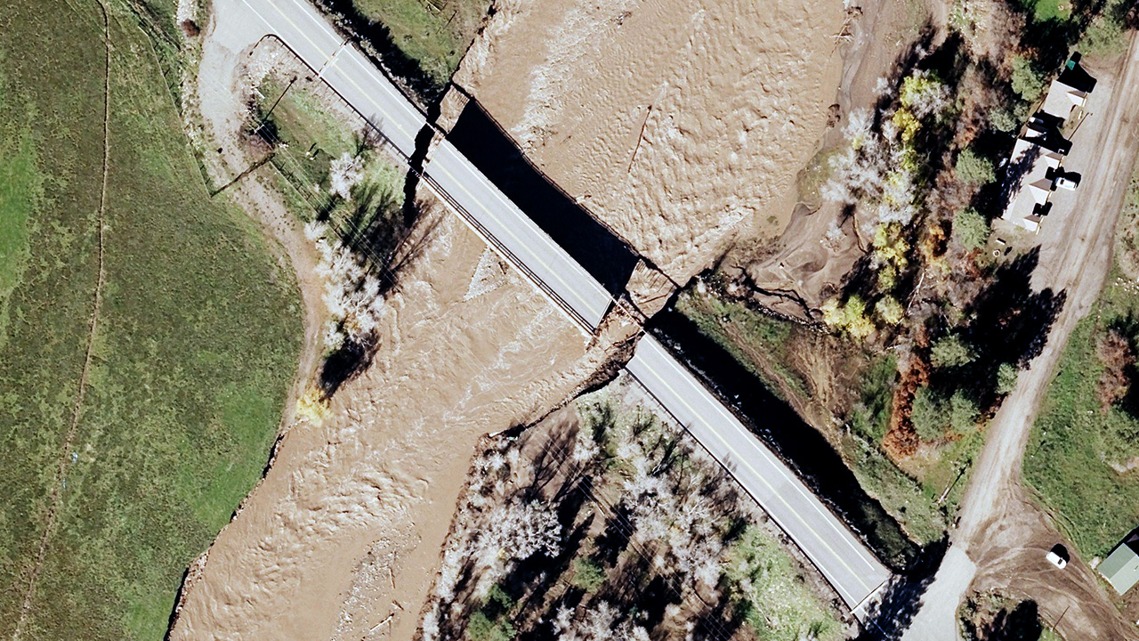
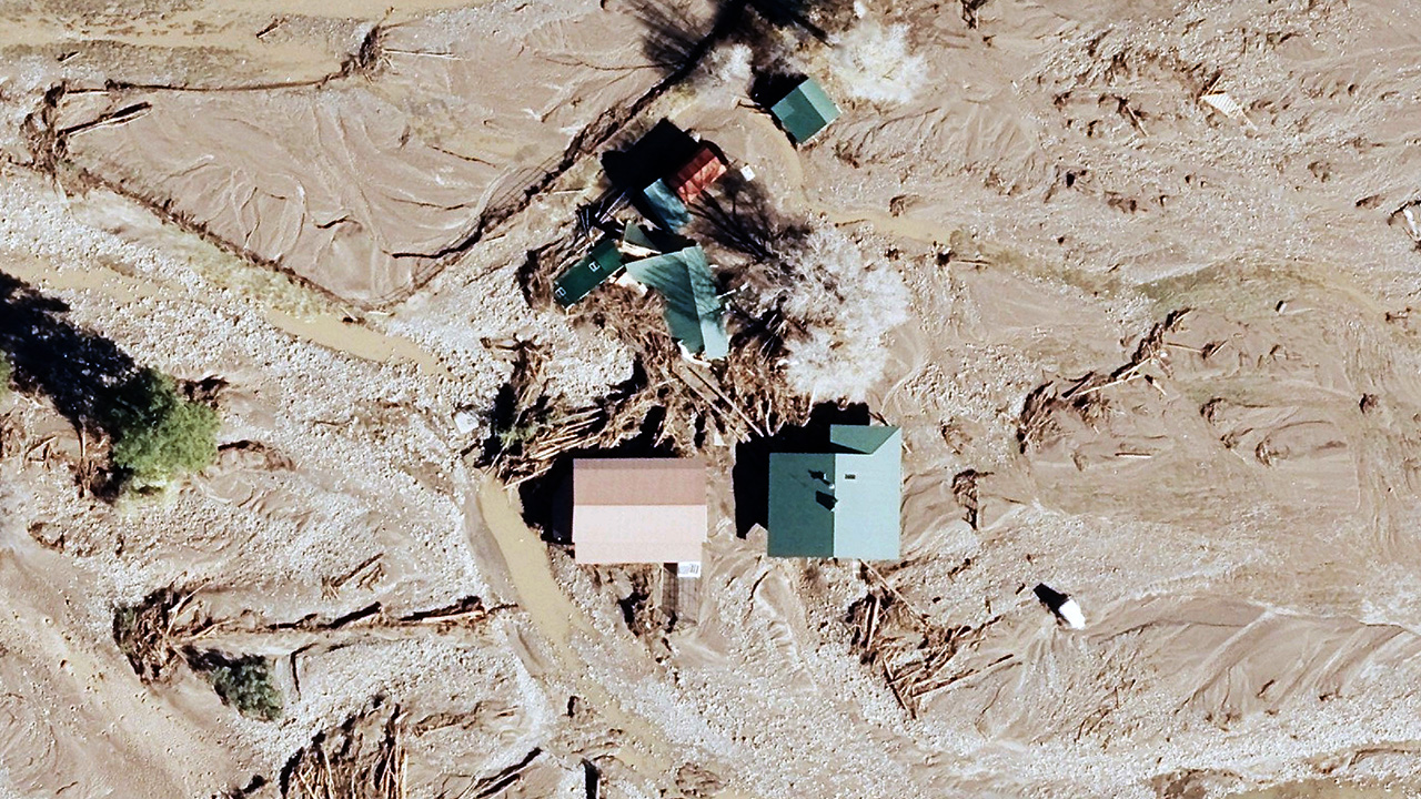
Two rounds of historic flooding struck southwestern Colorado in less than two weeks, damaging homes, roads, and infrastructure. Rivers reached record or near-record levels, prompting evacuations and a state disaster emergency declaration.
Our Gray Sky team monitored flooding in the region beginning with the first event in late October. Following the second round of flooding, we activated a flight crew on Tuesday, November 3, when weather permitted. Using an UltraCam Condor, the crew collected approximately 1,500 km² (583 sq mi) of high-resolution aerial imagery around Pagosa Springs and Bayfield, prioritizing areas with high concentrations of buildings and infrastruture affected by flooding along portions of the San Juan, Piedra, Los Pinos, and Navajo river corridors.
We published the 10cm ortho and multispectral imagery, giving the State of Colorado, other government agencies, insurers, and others a detailed view of some of the flood-affected areas.
Vexcel regularly collects aerial imagery across Colorado. By comparing this existing imagery with this new imagery of the flooding, users can identify changes, assess property damage, and support insurance claims, disaster response, and recovery planning.
The latest flood imagery is available through the Vexcel Platform and select partner sites. It will also be searchable with Vexcel Intelligence. Our thoughts are with the communities affected by the flooding.
Request Access
Please let us know if you need imagery. Please fill out our contact form below.