Vexcel Intelligence
AI Now Understands the Real World
Live across 45+ countries, Vexcel Intelligence turns our high-resolution imagery into a searchable understanding of the real world at scale.

Live across 45+ countries, Vexcel Intelligence turns our high-resolution imagery into a searchable understanding of the real world at scale.
Vexcel Intelligence unlocks the answers found in our aerial imagery and geospatial data.
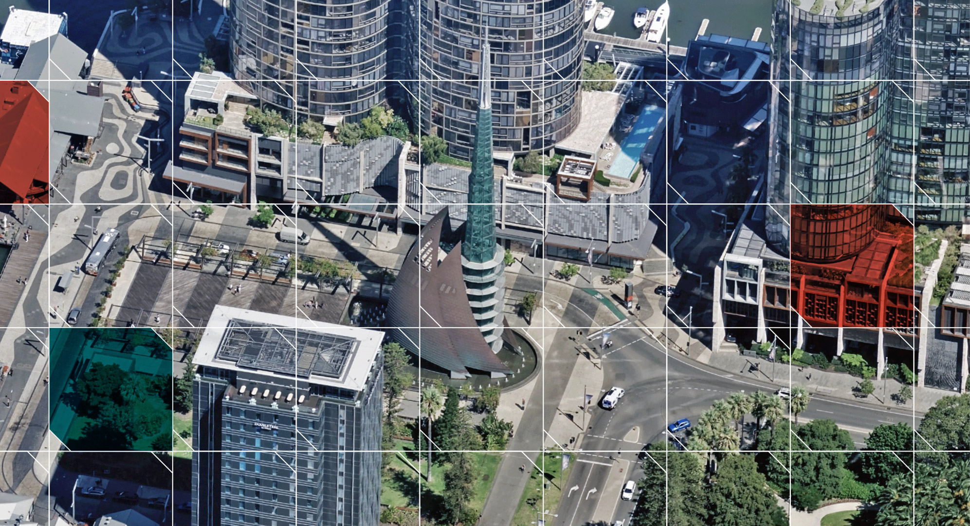
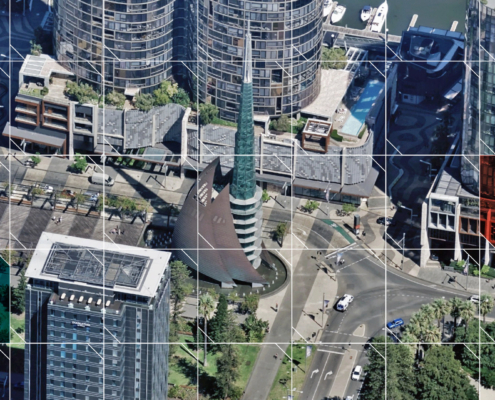
AI scales best on consistent, high-quality imagery and data. Vexcel provides highly accurate, high-resolution coverage across 45+ countries and territories. Finer detail than satellite. Broader coverage than drones.

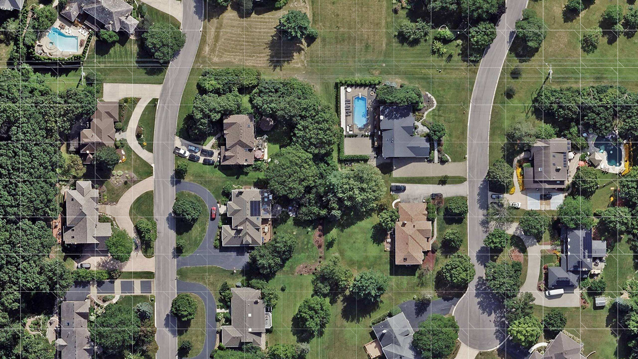
AI sees more with multiple views, layers, and zoom levels. Vexcel Intelligence runs on multi-modal inputs, including oblique imagery to see what top-down or street-view imagery misses.
Choose how you want to work with Vexcel data: use pre-defined attributes, find custom objects, search imagery with natural language, or combine all three.

Ready to Go
Access AI-derived intelligence already built and validated across Vexcel imagery. Explore property attributes, roadway features, and post-disaster damage assessments.

Ready to Find
Define an object or feature and Custom Elements finds it across ortho and oblique imagery. Find electric poles, docks, street lights, solar farms, propane tanks, and more.

Ready to Search
Use semantic search and vector embeddings to search Vexcel imagery with natural language. Find locations, objects, patterns, and conditions that match your query.
Watch real-word queries and object detections.
Find residential yards with shipping containers in Alaska
Find electric poles in Redmond, WA
Find docks on residential properties in the Chesapeake Bay area
Find construction sites that impact road infrastructure near Düsseldorf, Germany
Find above-ground storage tanks in Utah
Watch more real-world videos
Vexcel owns its tech stack from start to finish. Our integrated ecosystem powers the world’s largest aerial imagery program and is built for today’s real-world intelligence.

Our AI platform transforms imagery into searchable insight and faster understanding of the Earth.
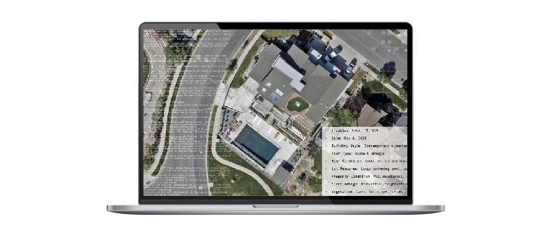
Data
Our data pipeline produces high-resolution ortho, oblique, elevation, and multispectral datasets.

Fleet
A dedicated fleet delivers the world’s largest aerial collection across cities and countries.
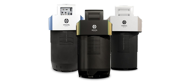
Sensors
Our market-leading UltraCam sensors capture photogrammetric-grade aerial imagery with precision.
 https://vexceldata.com/wp-content/uploads/2026/02/intelligence-imagery-grid-bg.jpg
1080
1993
kris.wagner
https://vexceldata.com/wp-content/uploads/2021/12/VEXCEL-Data-Program.png
kris.wagner2026-10-06 09:28:542026-10-06 13:57:18Vexcel Wins Fast Company’s Next Big Things in Tech Award 2026
https://vexceldata.com/wp-content/uploads/2026/02/intelligence-imagery-grid-bg.jpg
1080
1993
kris.wagner
https://vexceldata.com/wp-content/uploads/2021/12/VEXCEL-Data-Program.png
kris.wagner2026-10-06 09:28:542026-10-06 13:57:18Vexcel Wins Fast Company’s Next Big Things in Tech Award 2026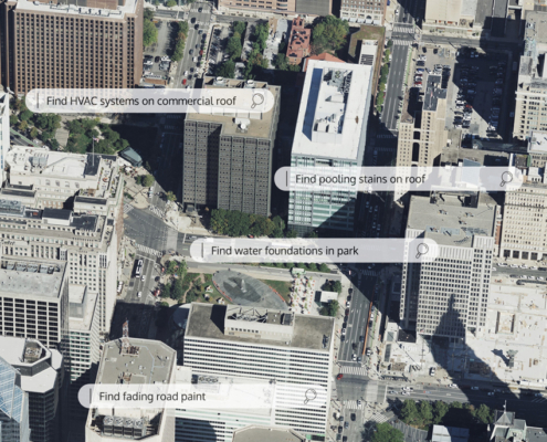 https://vexceldata.com/wp-content/uploads/2026/09/Intelligence-web-banner-with-queries.jpg
750
850
kris.wagner
https://vexceldata.com/wp-content/uploads/2021/12/VEXCEL-Data-Program.png
kris.wagner2026-09-29 01:00:552026-09-29 08:35:26Vexcel Intelligence Makes the Real World Searchable
https://vexceldata.com/wp-content/uploads/2026/09/Intelligence-web-banner-with-queries.jpg
750
850
kris.wagner
https://vexceldata.com/wp-content/uploads/2021/12/VEXCEL-Data-Program.png
kris.wagner2026-09-29 01:00:552026-09-29 08:35:26Vexcel Intelligence Makes the Real World Searchable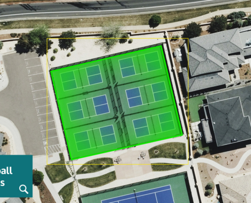 https://vexceldata.com/wp-content/uploads/2026/08/Colorado-Springs-CO-38.876398-104.865608-1.jpg
720
1280
kris.wagner
https://vexceldata.com/wp-content/uploads/2021/12/VEXCEL-Data-Program.png
kris.wagner2026-08-19 07:46:552026-08-20 10:04:52Vexcel Launches On-Demand AI Object Detection Across Aerial Imagery in 45+ Countries and Territories
https://vexceldata.com/wp-content/uploads/2026/08/Colorado-Springs-CO-38.876398-104.865608-1.jpg
720
1280
kris.wagner
https://vexceldata.com/wp-content/uploads/2021/12/VEXCEL-Data-Program.png
kris.wagner2026-08-19 07:46:552026-08-20 10:04:52Vexcel Launches On-Demand AI Object Detection Across Aerial Imagery in 45+ Countries and TerritoriesQ: Why can you trust Vexcel Intelligence? Does it hallucinate like other AI?
A: Vexcel Intelligence is grounded Vexcel’s real-world imagery and data, not generated assumptions or random webpages. Its outputs are informed by what is visible on the ground across high-resolution aerial imagery and geospatial data collected by Vexcel. Because the foundational intelligence layer is anchored to consistent geospatial data, results can be traced back to physical features and conditions visible in the imagery and underlying datasets. This grounding reduces hallucinations and makes outputs explainable, reviewable, and verifiable against the real world.
Q: How does Vexcel Intelligence differ from traditional AI and machine learning on imagery?
A: Vexcel has worked with traditional machine learning technologies for years, and many companies use our imagery and data to power their own AI models for feature identification, extraction, segmentation, and accurate geometries. We continue to support and expand these capabilities. Vexcel Intelligence adds a new layer, accelerating and expanding AI’s understanding through semantic search, vector embeddings, and contextual discovery across our imagery library. Together, they significantly reduce the time and cost required to identify objects, extract data, and understand the world.
Q: How do Elements and Vexcel Intelligence work together?
A: Elements is one way to extract intelligence from Vexcel imagery, delivering pre-defined AI/ML-derived attributes for buildings, properties, roadways, and damage assessment. Vexcel Intelligence expands what’s possible, adding semantic search, custom object detection, and contextual discovery across our entire imagery library.
Q: How do I access Vexcel Intelligence?
A: Vexcel Intelligence is live to our customers. Products are accessed through the Vexcel Platform, including Vexcel APIs, Vexcel MCP, Vexcel Viewer, and Vexcel Studio.
Q: What type of Intelligence is best for my use case?
A: It depends on what you’re looking for. Sometimes one technology works on its own, other times a combination of our AI technologies delivers the best results. Request a demo and our customer advocacy will help you find the right approach.
Q: Can I connect Vexcel Intelligence to Claude, ChatGPT, and other AI platforms?
A: Yes. Vexcel MCP connects your AI platform directly to your licensed Vexcel content.


Large-format UltraCam cameras & sensors.
vexcel-imaging.com

Aerial surveys by fixed-wing aircraft.
kasurveys.com

Aerial imagery and data for government and business.
vexceldata.com