U.S. Coverage Maps & Collection Plans
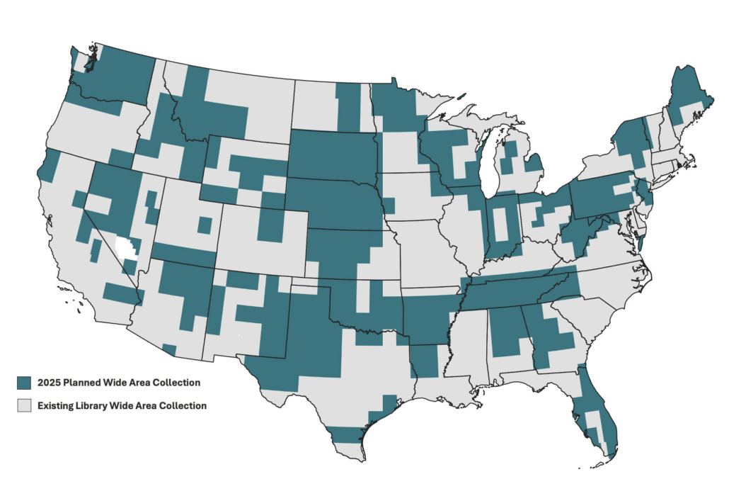
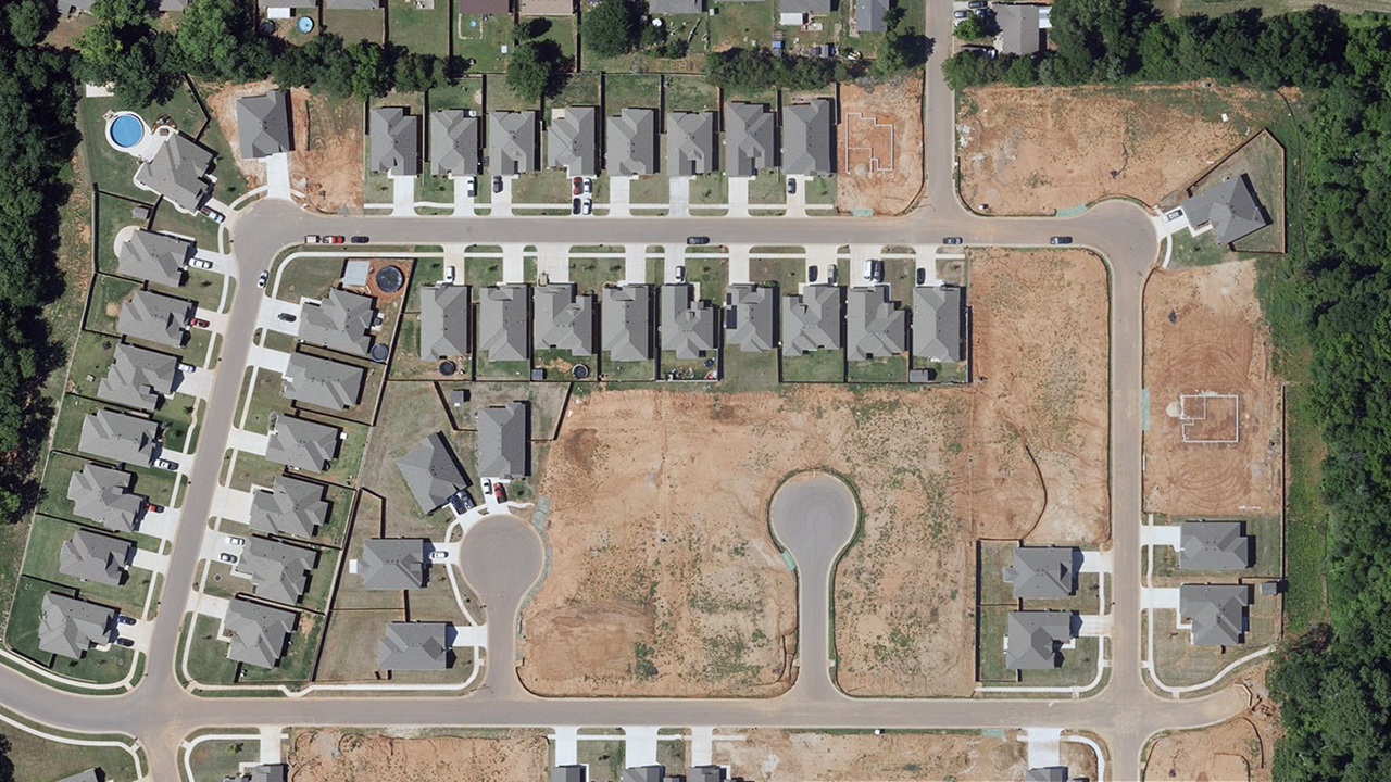
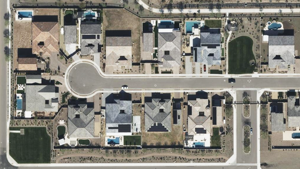
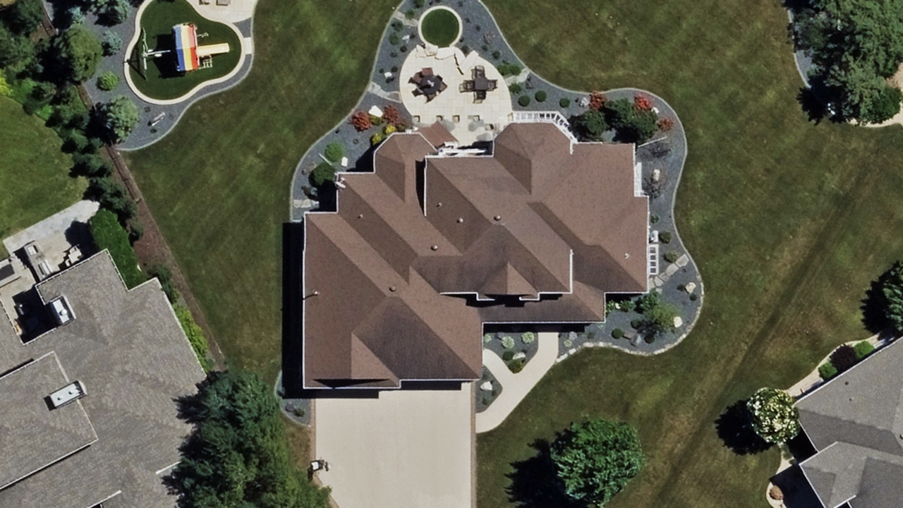
Vexcel operates the largest aerial imagery program in the United States. No other aerial program collects imagery at this scale, resolution, and accuracy. Learn more about our current imagery library and ongoing collection programs.
Existing U.S. Imagery Library
49 states
99.6% U.S. population
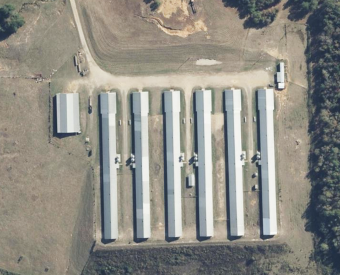
Urban & rural areas
127 million U.S. households
2025 Plan Stats
5.2 million km2 collection plan
93.1% U.S. population
120 million U.S. households
Up to 3 collections in urban areas
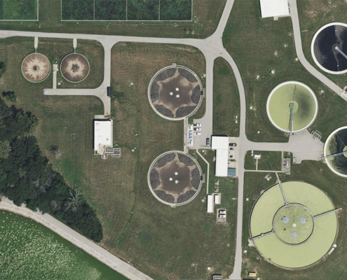
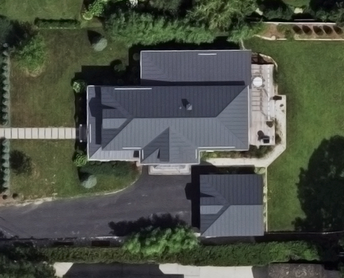
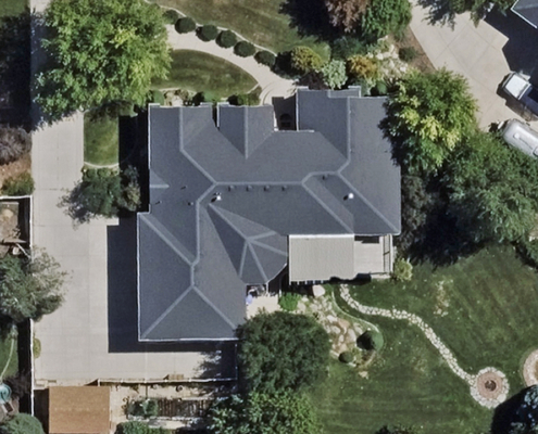
1.6 million km2 at 7.5cm
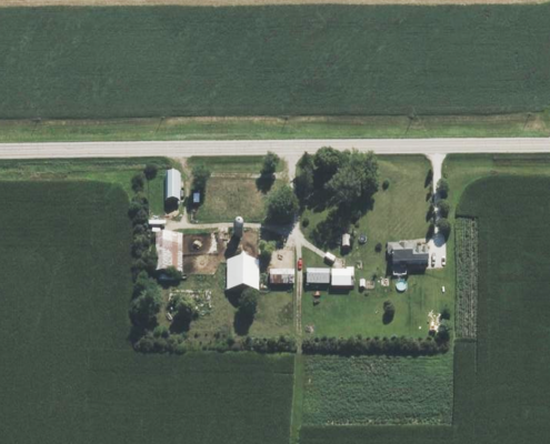
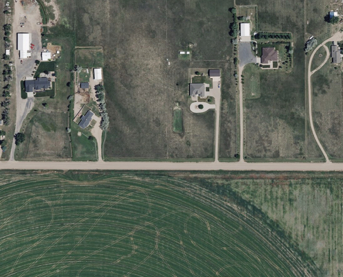
3.6 million km2 at 15cm
Up to 3 Collections
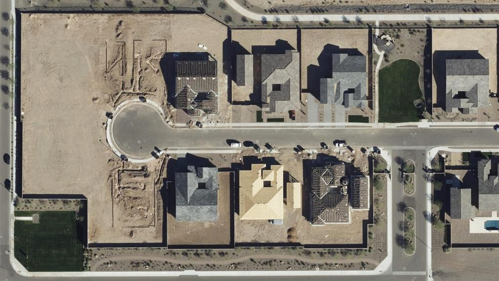
Vexcel collects orthomosiac imagery up to three times throughout the year in urban areas; twice at 7.5cm resolution and once at 15cm resolution.
These more frequent collections will provide more visualizations and more data to customers for key population centers across the country.
4x more coverage than competitors
This year’s program offers up to 4 times more coverage than our closest competitor in the aerial imagery space.
Vexcel‘s fleet of fixed-wing aircraft, equipped with our award-winning large-format UltraCam sensors, will be deployed throughout the year. After collection, our imagery is pushed through a world-class processing pipeline.
Get the high-resolution aerial imagery you need, where you need it.
1The Vexcel 2025 U.S. collection plan is subject to change due to the nature of aerial surveys and the impact from weather, resources, or other factors. Population coverage based on 2020 U.S. Census data. Household coverage based on 2022 Esri Household data. Last updated on Feb. 7, 2025.


