Enhancing Public Safety with Advanced Aerial Mapping
Integrating aerial imagery into public safety operations has truly transformed emergency response protocols, especially in the context of 911 emergencies. This advanced imagery not only assists in real-time assessments but also offers the capability of on-premises storage, allowing utilization even in scenarios with limited internet connectivity.
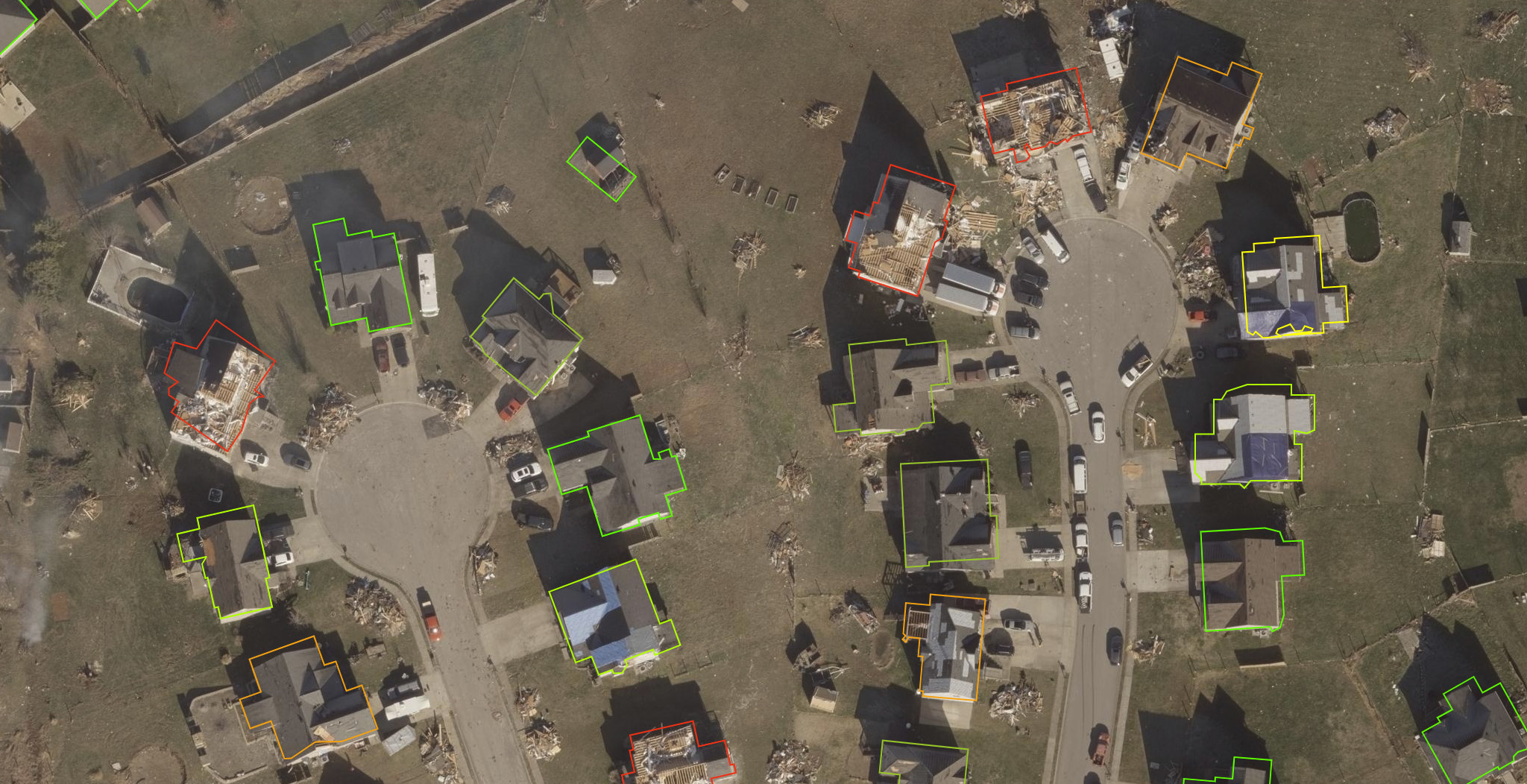
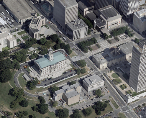
With high-resolution aerial imagery, responders now have the tools to gain a comprehensive and accurate understanding of ground conditions. This significantly enhances their situational awareness in critical moments. Dispatchers and first responders can quickly access vital information, enabling them to identify potential obstacles that may hinder emergency vehicles. They can also overlay additional data, such as current road conditions and traffic patterns.
Public safety agencies can harness aerial imagery to effectively strategize and enhance their operations in several key ways:
- Strategically planning optimal routes to incidents: Aerial imagery allows responders to visualize the most efficient paths to quickly reach emergency sites, avoiding congested areas and potential hazards.
- Minimizing response times: By having access to aerial views, emergency teams can make faster, informed decisions, which is crucial when every second counts.
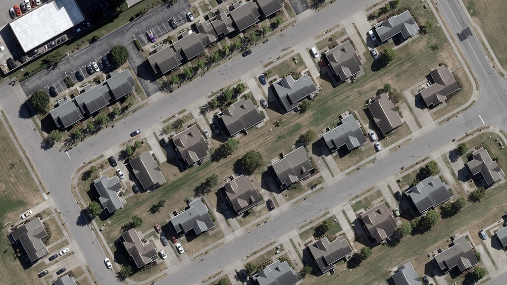
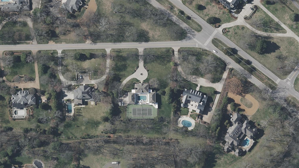
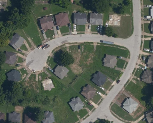
- Gain insights into the layout and access points of neighborhoods and properties: Detailed aerial imagery provides important information about an area’s geography, including fences, cul-de-sacs, and other features that may affect access to a property.
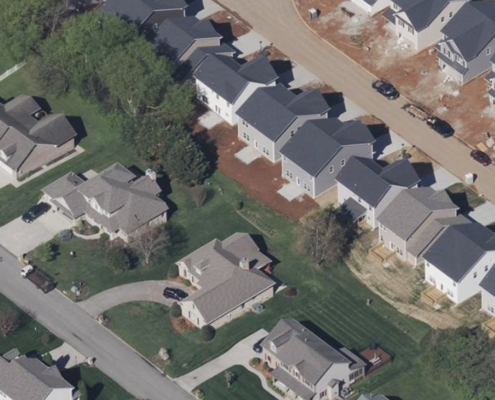
- Approaching homes from the most accessible vantage points: Responders can analyze the structural layout of buildings, ensuring they approach from the safest and most accessible angles. They can assess the measurements of structures to optimize access for emergency operations, which is essential for both efficiency and safety.
These capabilities lead to superior emergency response planning, which is essential for timely assistance. Consequently, this enhances the efficient allocation of resources, ultimately saving lives.
The Critical Role of Timely Responses
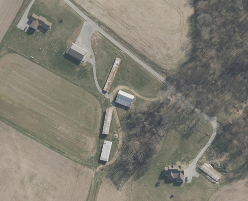
Since 2019, the State of Tennessee has been utilizing Vexcel’s comprehensive geospatial data library, catering to state agencies, local governments, the Tennessee Valley Authority, and local 911 districts. This access includes state-wide ortho imagery for both urban and rural areas, facilitating enhanced operational efficiency.
“We collaborate with local 911 districts statewide to connect them with Vexcel’s high-resolution ortho imagery through various mapping platforms,” stated Dennis Pedersen, Director of GIS Services. “Our objective is to provide dispatchers with reliable information when responding to emergency calls.”
By integrating Vexcel’s aerial imagery database with relevant GIS data sets, dispatch units have significantly improved their ability to pinpoint the location of incoming calls accurately.
“The address-based 911 routing has proven to be very effective—we consistently receive positive feedback. Additionally, as it is utilized by general GIS practitioners across state government, this has improved many workflows by providing access to current imagery that was previously unavailable. Our guiding principle is to ‘build it once, use it many times’,” Pedersen added.
Creating Safer Communities
In the realm of public safety and emergency response, the accuracy, accessibility, and comprehensive nature of aerial imagery are non-negotiable principles. Vexcel leads the industry by offering advanced geospatial imagery that not only meets but exceeds the operational demands of public safety agencies, including:
- Superior Coverage & Recency: Access extensive aerial data across the United States in rural and urban areas, collected up to three times annually in metropolitan areas. Frequent data collection ensures that public safety initiatives are based on the most reliable and up-to-date information.
- Higher Quality & Accuracy: Vexcel’s imagery is known for its superior accuracy, providing highly detailed and precise data that enhances decision-making processes.
By integrating Vexcel’s sophisticated technology into your operations, this investment supports our shared objective: to create safer communities.
Click the button below to discover how Vexcel’s unmatched imagery and geospatial data can bolster your public safety initiatives.

