This post originally appeared on GIC.org.
Together, Vexcel and GIC have fully aligned their strengths to streamline efforts and enhance innovation, while continuing to provide the high-quality aerial imagery and coverage that insurers trust.
This post originally appeared on GIC.org.
Together, Vexcel and GIC have fully aligned their strengths to streamline efforts and enhance innovation, while continuing to provide the high-quality aerial imagery and coverage that insurers trust.
Massive flooding has occurred in many parts of the world recently. But during the month of July, catastrophic flooding from record rainfall has wreaked havoc across Germany and bordering countries. Streets turned into rivers, homes washed away, and entire areas have been completely devastated with an ever increasing death toll.
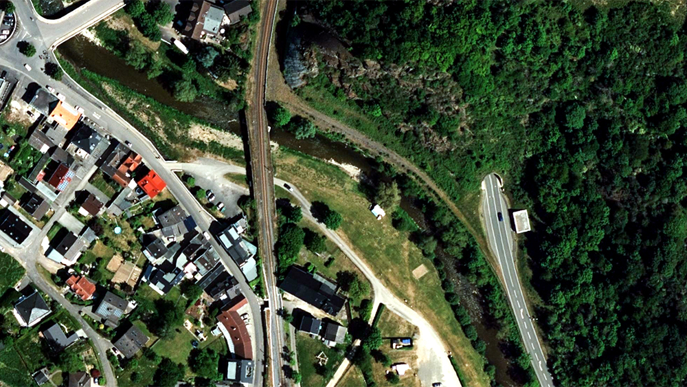
The GIC deployed an UltraCam Osprey camera to capture three highly populated areas hit hard by the floods. This aerial imagery can aid in recovery and mitigation efforts as clean up and damage assessment continues. Both high-resolution oblique and ortho imagery is available to provide a clearer understanding of the full scope of damage, and at a resolution up to 16 times better than satellite imagery. This disaster imagery was collected to the same Gray Sky specifications we use for disaster events in United States and Australia.
Blue Sky imagery is also available for this region so members and public safety staff will be able to compare pre- and post-event aerial content.


The floods are the first time we’ve been able to capture a catastrophic event in Europe. Because of this unique occurrence, we are providing complimentary access specifically for this Gray Sky event to anyone who needs it as part of the recovery and disaster mitigation efforts. To request access to this imagery, please fill out the form below and we will contact you with more information.

 The GIC Captures Bootleg Fire in Oregon