Mapping the Path Forward
How Vexcel elevates corridor mapping in three main ways
Corridor mapping—whether for highways, pipelines, rail lines, or utility routes—is a challenging task. It requires high-resolution imagery across long, narrow paths, often spanning multiple jurisdictions and terrain types. Industry experts often emphasize three recurring themes: the need for consistent coverage across long corridors, the importance of capturing detail at scale, and the efficiency of integrating data directly into workflows.
Vexcel provides the resources and data required to address each one of those themes. With a nationwide footprint and global reach, Vexcel offers assessors, planners, and engineers with the tools to better visualize, analyze, and manage corridor projects.
Nationwide Coverage with Corridor Consistency
One of the most common pain points raised in corridor mapping projects is ensuring data consistency across the entire length of a project. Corridor projects rarely stop at county or city borders, and many stretch across rural expanses where aerial imagery coverage can be spotty, but not with Vexcel’s coast-to-coast imagery coverage across the Lower 48.
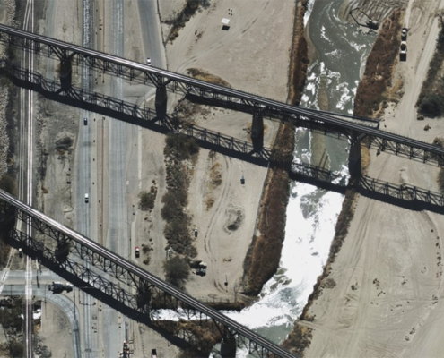
- Departments of Transportation (DOTs): State DOTs can use Vexcel’s coverage to inventory roadside features and right-of-way encroachments without gaps in the data. For example, a highway corridor project spanning multiple states can be visualized seamlessly, ensuring planners aren’t left stitching together fragmented datasets.
- Pipeline Operators: With nationwide imagery, pipeline companies can monitor thousands of miles of rural right-of-way for encroachment or environmental risks, confident that imagery is available across all geographies, not just metro centers.
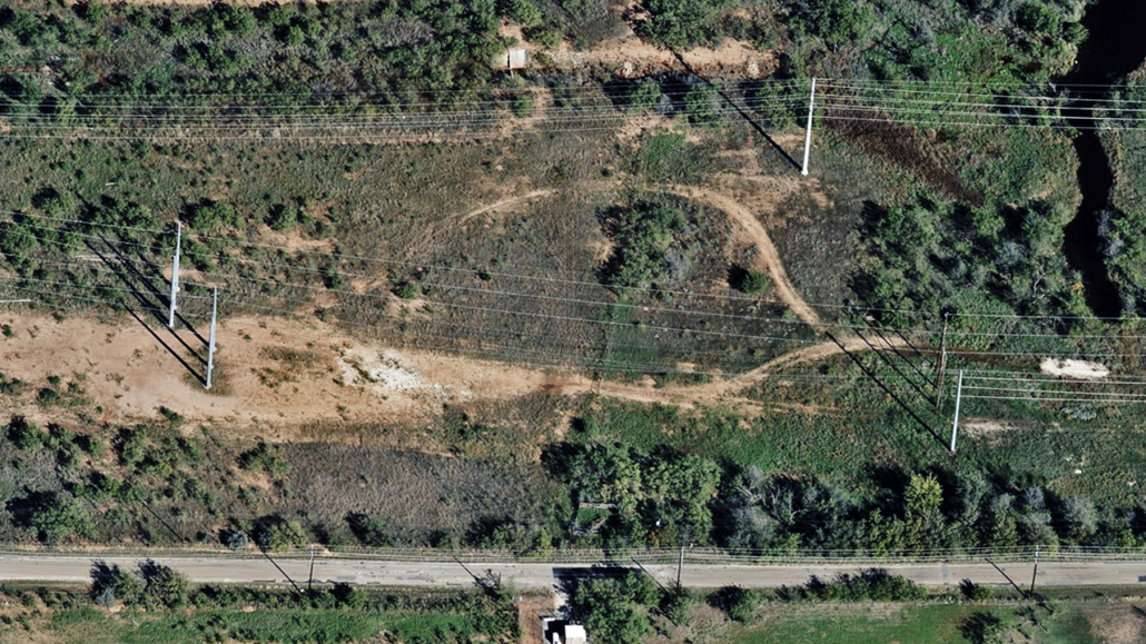
- Electric Utilities: With current and historical coverage, forestry teams can analyze change detection and growth patterns, leading to efficient planning and cost savings.
This consistency means no matter how far a corridor extends, decision-makers have a single, unified source of truth.
High-Resolution Imagery That Captures Every Detail
Another key challenge? Corridor projects can succeed or fail based on the ability to spot small features that become big problems—whether it’s vegetation growth near lines or a missed easement.
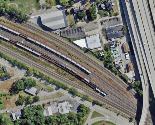
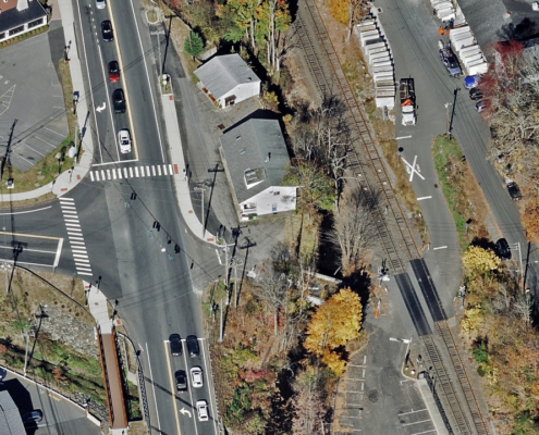
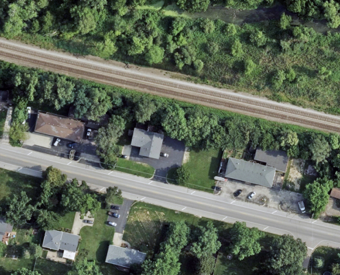
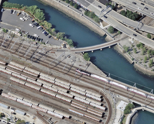
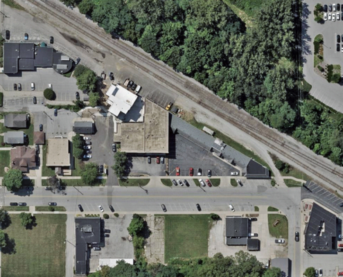
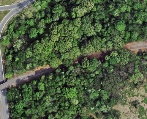
- Rail Operators: At 7.5 cm resolution, Vexcel imagery captures details like fence lines, switch yards, or vegetation encroachment along rail corridors. This helps identify potential safety hazards before they escalate.
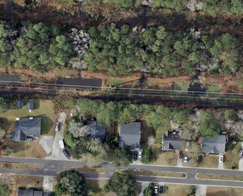
- Utility Companies: Power providers can monitor corridors for hazardous tree growth threatening transmission and distribution lines, minimizing the need for costly field inspections.
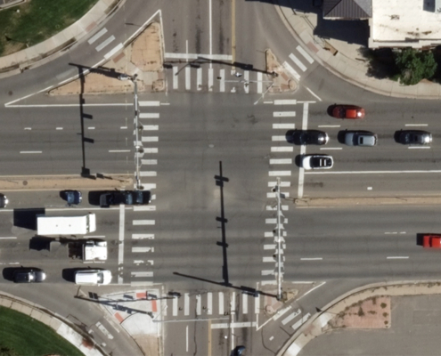
- DOTs: Fine details such as road striping, guardrails, culverts, and signage can all be analyzed remotely, supporting compliance and maintenance programs.
The ability to capture small but critical details across vast distances ensures corridor projects are both safe and cost-effective.
Integration with Corridor Planning Workflows
Corridor mapping is about more than collecting imagery; it’s also about how well that data plugs into existing tools and workflows.
- GIS Teams: Vexcel imagery is delivered via the Vexcel platform, APIs, or directly into Esri apps and software, making it easy to overlay with planned alignments, survey data, or engineering designs.
- Utilities & Pipelines: AI-derived attributes, such as building footprints, can be layered into corridor analysis to automatically flag risks along rights-of-way and detect new structures/new development.
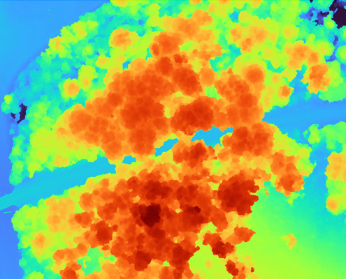
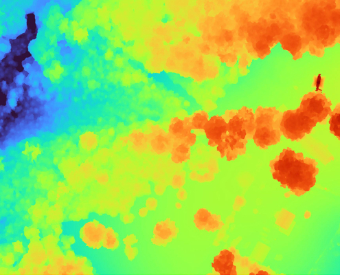
- Transportation Agencies: Elevation data products (DSM/DTM) provide terrain models to support slope stability analysis, clearance checks, and cut/fill calculations—without relying solely on expensive ground surveys.
By eliminating data silos, Vexcel ensures that imagery isn’t just a background layer, it’s also actionable intelligence built directly into corridor decision-making
In Summary
Corridor mapping is never simple. Challenges around coverage, accuracy, and integration can derail projects if not addressed early. With Vexcel’s aerial imagery, agencies and companies gain a reliable partner—one that delivers nationwide consistency, fine-grained detail, and workflow-ready data to keep corridor projects on track.

