Seeing the Road Ahead: How Vexcel Supports Smarter Transportation Planning
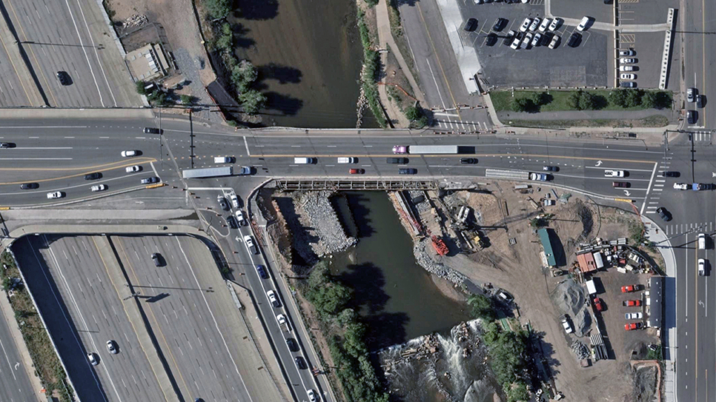
From potholes to pedestrian safety, transportation officials face a balancing act every day. Departments of Transportation (DOTs), city engineers, and civil planners must keep infrastructure safe, efficient, and future-ready while balancing limited budgets and rising public demand. High-resolution aerial imagery is proving to be a powerful ally, offering decision-makers the quality and accuracy needed to manage assets, plan improvements, and boost safety without sending crews into the field for every inspection.
With Vexcel data, transportation leaders can go beyond basic maps to see their roads in remarkable detail, analyze terrain conditions, and even use AI to extract roadway insights. The result? More informed decisions, faster responses, and smarter long-term planning.
Here are three ways Vexcel’s data is transforming how transportation agencies manage the roads we all depend on.
Global Coverage with Local Detail
Roads don’t stop at borders and neither does the need for accurate geospatial data. Vexcel captures high-resolution aerial imagery in 40+ countries and territories, providing transportation professionals a more optimized view of their roadway infrastructure.
For example:
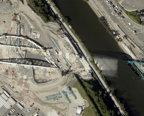
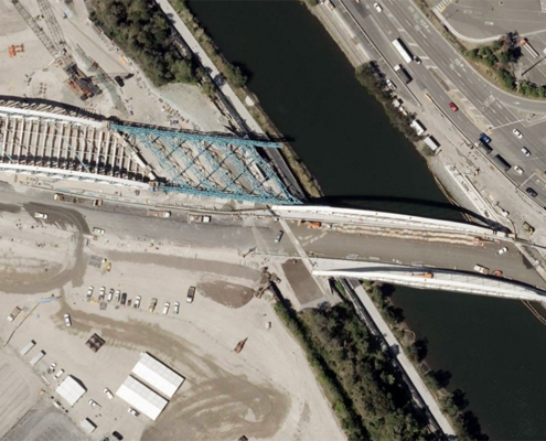
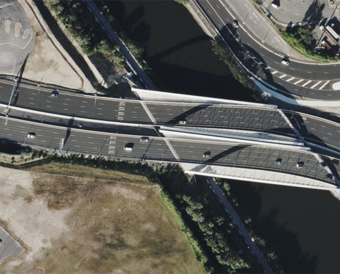
- In Australia, agencies can analyze traffic corridors connecting major metropolitan hubs
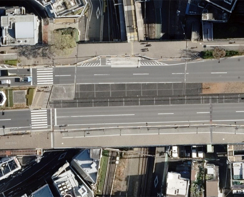
- In Japan, where urban density creates unique challenges, high-res imagery helps monitor narrow streets, crosswalks, and rail intersections
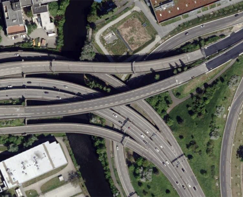
- In Germany, world-renowned for its Autobahn, imagery supports maintenance planning and traffic-flow analysis
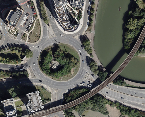
- In the United Kingdom, officials can evaluate everything from major motorways to local high streets, supporting safer travel and smarter infrastructure investment
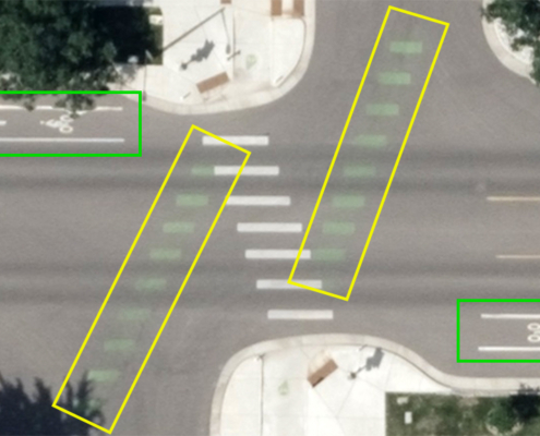
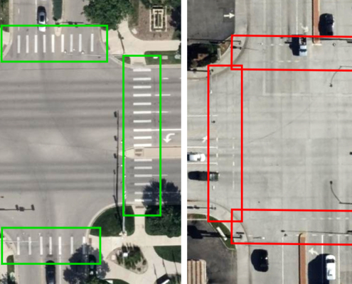
What makes this coverage exceptional isn’t just the reach—it’s the detail, the information in each image. With resolutions ranging from 7.5-15cm (3-6”), transportation professionals can see markings for bike lanes, identify traffic islands and diverters, or monitor pedestrian crossings. The more informative the view, the easier it is to spot hazards and manage infrastructure proactively.
Want to learn how DKS Associates used Vexcel high-res imagery to improve transportation data for Oregon’s DOT?
Digital Surface Models (DSMs) for Smarter Road Analysis
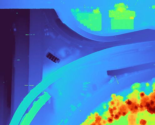
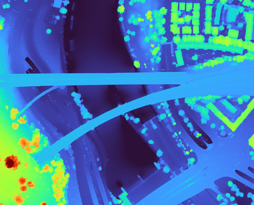
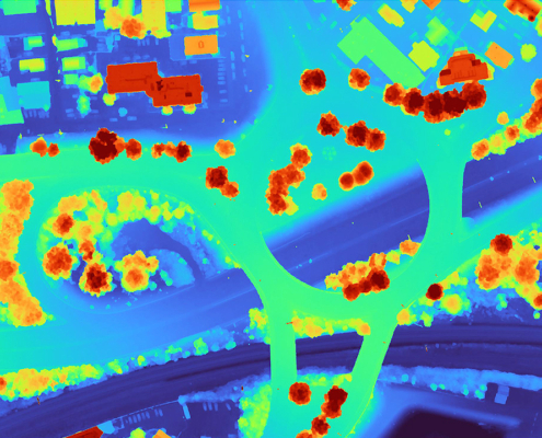
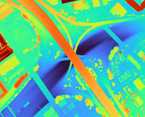
While imagery shows what the road looks like, a Digital Surface Model (DSM) reveals its shape and elevation, key factors in transportation safety and performance. Vexcel’s DSM data, available in all 40+ countries, adds elevation information that empowers transportation professionals to:
- Assess slope stability: Identify areas prone to erosion or landslides that could threaten roadways
- Plan drainage improvements: See where water naturally pools or flows, reducing flood risks during storms
- Evaluate clearance: Ensure overpasses, bridges, and tunnels meet height requirements for commercial vehicles
- Optimize design: Use elevation models to plan more efficient and safer road expansions or realignments
With DSM data, civil engineers gain a clearer understanding of the landscape, reducing the guesswork in roadway projects and making maintenance programs more targeted. Instead of reacting to problems after they appear, agencies can anticipate issues before they become costly failures.
Elements AI: Roadways for Safer U.S. Cities
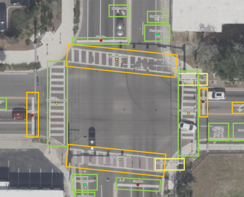
Globally, imagery empowers better roadway management. In the U.S., AI takes it to the next level. Managing road networks and inventory in busy urban areas is a daunting task. That’s why Vexcel created Elements AI: Roadways, an AI-driven dataset designed to extract roadway attributes in over 3,300 U.S. cities.
This dataset includes 30+ features, such as:
- Lane markings
- Crosswalks and pedestrian islands
- ADA-compliant curb ramps
- Paint condition
For transportation officials, these attributes translate into significant cost savings and resource efficiency with remote assessments. Instead of manually cataloging intersections or measuring lane widths, agencies can review data outputs, validate it against imagery, and focus resources on improving safety and compliance.
Consider how this helps cities working to reduce pedestrian accidents: by quickly locating every crosswalk in a city, officials can identify which ones lack proper striping or ADA access, then prioritize upgrades. Or think about state DOTs needing to comply with federal roadway standards; they can use the AI road information to monitor whether lane markings and signage meet regulations across hundreds of miles.
The bottom line? AI turns imagery into actionable intelligence, making roads safer for everyone.
Elevated Transportation Planning & Monitoring with Vexcel
Transportation networks are the arteries of modern life, moving people, goods, and services across regions. Managing them demands access to the highest quality imagery to boost planning and maintenance. With Vexcel’s aerial imagery, DSM data, and AI-powered roadway insights, DOTs and civil engineers gain the accuracy necessary and efficiency desired to plan smarter at every stage.
From global coverage that compares roads from Sydney to Stuttgart, to DSMs that reveal hidden terrain risks, to AI-driven roadway attributes that improve safety in U.S. cities, Vexcel delivers reliable, trusted aerial data transportation leaders need to make confident, future-ready decisions.
Clearer roads today mean stronger, safer journeys tomorrow.

