Top 3 Ways Vexcel API 2.0 Delivers Powerful AI Insights on Properties
We’re sharing insights from experts across our organization (like our recent interview with VP Cali Cravens on quality), and today we are connecting with Scott Jonker who works as the Senior Program Manager for the API team at Vexcel. He’s sharing some insights into how Vexcel’s API 2.0 can help connect our customers to automated property information with real value.
Q: Tell us a little bit about how you got started in the GIS world and what brought you to Vexcel.
A: I have loved maps for as long as I can remember, but it wasn’t really until I went to college and started down an engineering path that I became introduced to the GIS world. It all started with building wireframes which is how I ended up in the geospatial industry. After college I worked for a company that did satellite imagery but then moved over to Microsoft where I worked with many of the same people who work at Vexcel today. I’ve also worked in HD mapping as well.
I joined the production team under Cali until I was asked to provide technical documentation alongside production analyst work. It opened the door for me to move over to the engineering team to write API documentation, ultimately becoming the API Program Manager.
Q: For those unfamiliar with what an API is, could you provide just a short summary of an API and what its value is?
A: Sure, an API is an application programming interface, basically a way for our customers to write an application to interface with our stack of data. It’s really meant for programmatic work. It doesn’t have a GUI or a user interface; it’s all HTTP URL-based syntax. Why is that valuable? Because it gives our customer the ability to control how they integrate our imagery directly with their own coding. They essentially query our database through the API by generating URLs, those URLs hit our server, tell the server what they’re looking for, and get it delivered back to them. It’s a really efficient way for people to access data how and where they want it.
Q: We recently in the last few months launched API 2.0. Anything you want to share about that enhancement?
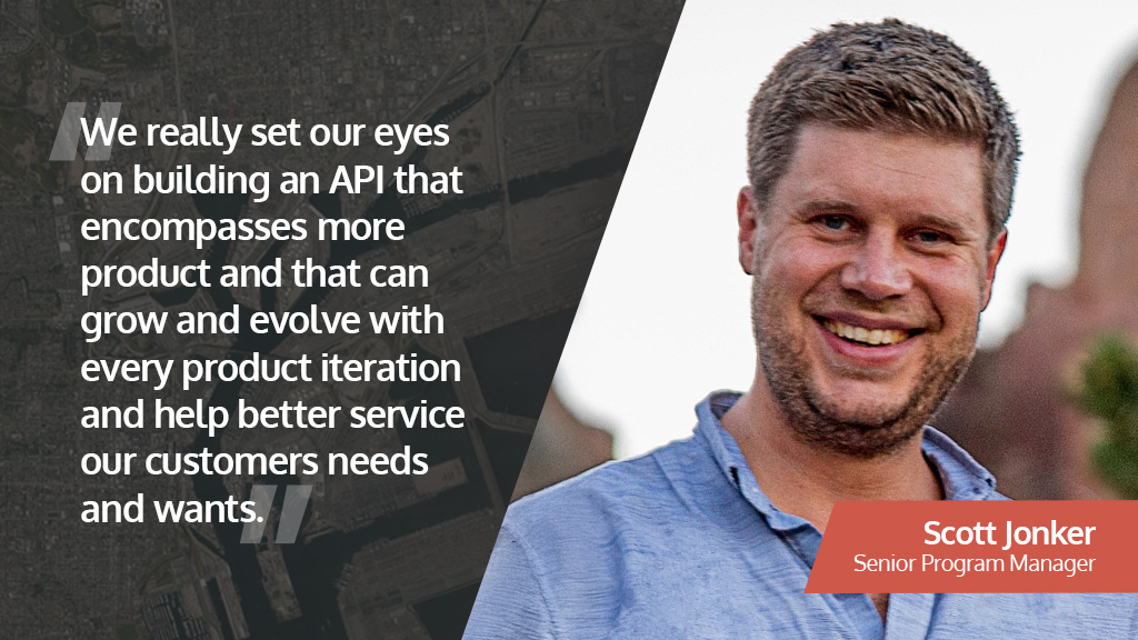
A: We got our original API 1.0 in 2020 which was designed by a company we acquired. We’ve always known we would need to make adjustments and tweaks to bring it into better functionality with our products. We started designing API 2.0 to help meet those specific needs of our innovative products, such as Elements AI. We also expanded our DSM and DTM product offerings. We really set our eyes on building an API that encompasses more products and that can grow and evolve with every product iteration and help better service our customers needs and wants.
Q: Speaking of Elements AI, this is a growing product with a lot of demand. People are clamoring for automated insights on properties and with it being readily available in API 2.0, we thought we’d ask you as the expert: What are the top 3 ways API 2.0 helps deliver key property information?
A: There are so many benefits to accessing property data through API 2.0, but if I had to narrow it down to three key value points, I would share these:
- Reason #1: Real-time data access. There’s nothing like being able to get quick access to data. We refresh our imagery regularly through our collection program and with that imagery we promptly and continually precompute elements, which means customers are getting the latest and greatest. And the speed of access is important. For instance, if you make a request or query on a property, you get an answer back within 60 seconds. For somebody like an insurance company, this is incredibly valuable for if there were a hurricane and they needed information quickly on a property, they could pull the record and get a full report within 60 seconds to help support them in their decision making. They wouldn’t have to send somebody out there and measure things in person.
- Reason #2: Integration across systems and platforms. Almost every platform system, operating system, programming language interacts with URL. It’s kind of like email or SMS texting where there’s no proprietary protocol—it’s universal; everything can work with it. It really enables us to work with every single customer, it doesn’t matter what their architecture is like, what operating system or program they use. It could be customer databases, CRMs, smartphone apps—it doesn’t matter. Anything will work with our API.
- Reason #3: Scalable focused search and discovery. Our APIs are powerful yet simple, anybody can learn how to pull whatever is needed from our product library. For instance, say you want information about Ocala, Florida, from 2025. Services like oriented/collections accept parameters like wkt=POINT(-82.140419 29.187123),collect-year=2025 and layer=urban(osprey) to return a collection name:’us-fl-ocala-2025′. It’s all information you can find via api.vexcelgroup.com/v2.
There’s so much more I could go into with using API 2.0 to extract those property insights, but these are definitely what I would say are the top three ways to get the most out of it as you’re getting started.
Want to learn about Vexcel APIs and our platform technology? Fill out the form below to connect with our team or visit our platform page.


