
Webinar: Supercharge Your Location Intelligence with Digital Surface Models
Don’t know where to start with Digital Surface Models? Get real insight into how DSM data helps you better understand the earth’s surface and human-made objects with great clarity in this informational webinar.
Webinar Timeline
• 00:00 – Introduction
• 02:26 – DSM and DTM Overview
• 06:07 – New APIs for DSM
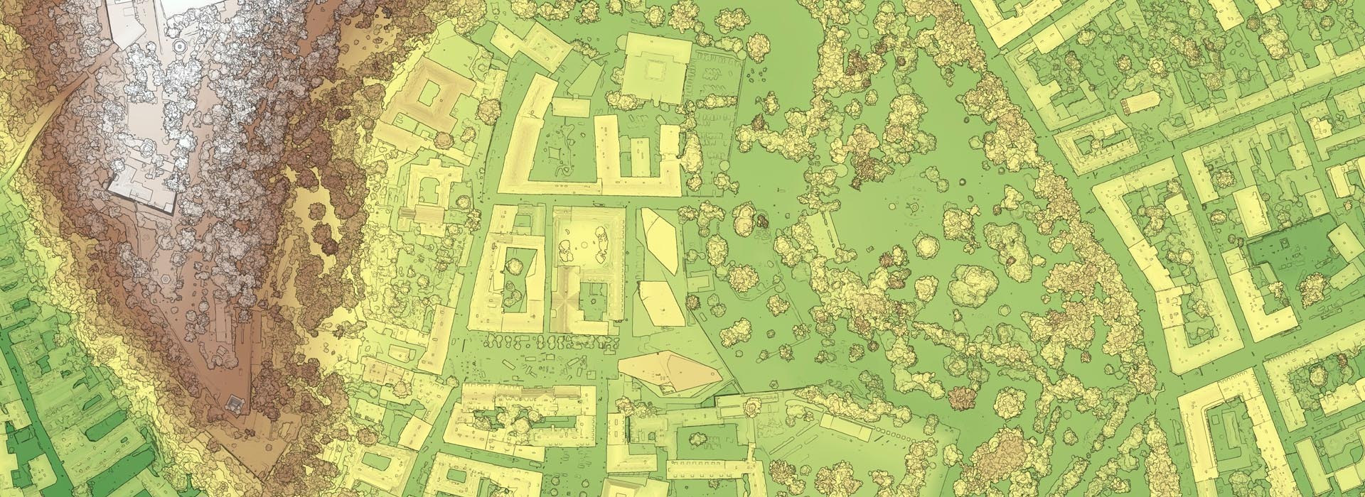
• 07:46 – Sample DSM tiles
• 09:50 – Use Cases
• 12:25 – Visualizing Elevation Data with Color
• 13:35 – Mapping with shaded relief
• 15:16 – Measuring heights in aerial imagery
• 18:42 – Measuring and analyzing soil volumes
• 19:30 – Measuring building heights and roof geometries
• 22:10 – Use Case: Understanding roof slope
• 23:39 – Use Case: Understanding roof illumination for solar panels
• 25:28 – Use Case: Understanding shade impact for new construction
• 22:09 – Use Case: Detect property changes with DSM
• 30:32 – Using Digital Elevation Models to Enrich Other GIS Datasets
• 40:52 – DSM & DTM workflow & processing
• 57:38 – Q&A

