3 Questions with Jason Jones, European Partnerships Director
Our Partnership Program for Europe is managed by Jason Jones, a seasoned professional with 20+ years of experience in the aerial imagery and geospatial data industry. His expertise lies in helping new and future partners see the value of solutions-based data and imagery Vexcel provides. As the European Partnership Program begins to grow, we wanted to sit down with Jason and ask him three questions regarding this program and what people might not know about imagery collection in Europe. You can also view Vexcel’s European collection program on our Countries page.
Question #1: What types of partners would be interested or would benefit from the use of Vexcel imagery and data?
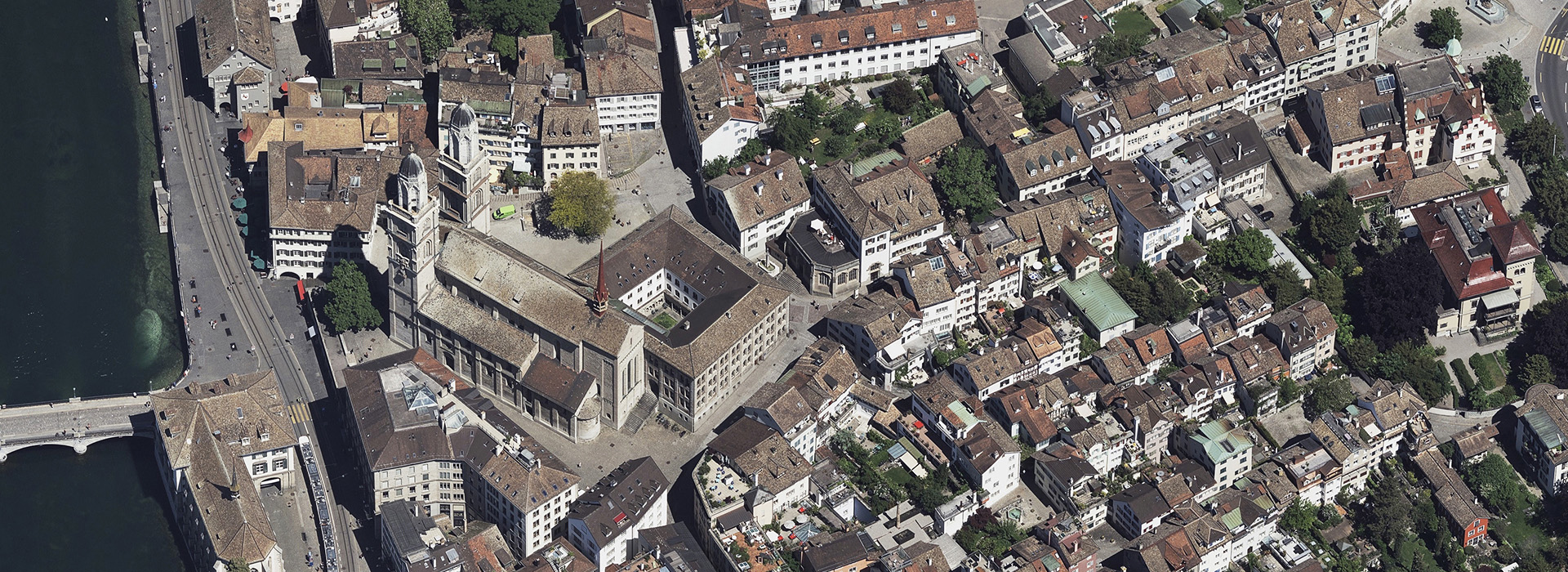
First off, it should be noted that we are deriving and delivering the best quality and highest-resolution aerial data in the marketplace across Europe, without a doubt. And when it comes to partnership opportunities, there’s really something for everyone.
Let’s start with those who might be more project-based, someone looking for really good ground truth in a specific area. You won’t find better data than ours and you can trust that it’s correct and exactly what you would see on the ground. You don’t need to buy an entire country of imagery; you can buy what you need and get it specifically for your areas of interest.
The next level would be solution providers, those that offer solutions to their customers who are looking to solve problems within their line of business. We’re a specialist data collection company that allows these types of partners to deliver a solution with our accurate data inside that meets the needs of their end user. Plus, because of the accuracy of our imagery across so many data products, our customers know that their end users will have a consistent experience whether it’s in the U.K., Australia, or wherever we collect. It enhances their ability to create, in my mind.
Question #2: What kinds of projects or solutions do European partners face and how does our imagery help?
Long gone are the days where somebody needs data and we just say, “Yes, here you go”, and then you pass it to your GIS team. Nowadays, customers are buying answers and the data that will integrate with AI and machine learning platforms, helping to deliver automatically calculated information. Such as how many telephone poles are there in this area? How does this new project impact my business? How can we plan and design a new road or new reservoir? How can we understand the damage after a major disaster? There’s so much information we provide in our data that literally could help anyone.
As we all know, a picture paints a thousand words but being able to see the bigger picture more clearly has huge implications. And that is why it’s so massively important to be able to see a location clearly, to understand what’s needed or evaluate change better. Whether someone needs our imagery and data to plan something as simple as a new refuse collection route or developing projects to save the planet, the possibilities are just endless. And that’s the beauty of what we deliver. It’s not just answers; it’s real change. It changes people and changes the world, from businesses to livelihoods.
Question #3: Why Vexcel? Why choose us and work with us? And what does the future look like?
Vexcel literally provides you with market-leading data. We have more data, more coverage, better resolution–we’re a start-to-finish provider. We don’t import our camera systems, we create them–and they win awards! They are the equivalent of a Rolls Royce in terms of a camera system. And from that market-leading tech, we also have market-leading processing and platforms which all lead to market-leading data. And that’s what we provide.
Our customers trust us to deliver the highest quality data because their customers demand it from them. Satellite won’t give you the ground truth at 50cm resolution. It’s what makes our 15cm (or better!) resolution so massively powerful, helping end users feel confident that what they are seeing is accurate. I know I represent Vexcel so I have a bias, but I stand behind our data being the best on the market, without a shadow of doubt. We’re building a market-leading channel program in Europe and I like to tell people we’re the oldest startup in the world; we’re a 30-year old company just releasing our valuable data within the last few years.
And if we look to the future, all I can think is that our growth is boundless, the use cases are endless–I mean, who knows what our customers will be creating or doing with our data? We had someone create an NFT recently which is a great example of opportunities being so open for those using our data.
But if I think about this partnership program and why it’s exciting for Europe, I want to share this thought: this is not a thing that’s been set on a shelf for 10 years and now it’s suddenly available. This is NEW–when was the last time a new data source came onto the market? Satellites might pop up but we’re talking about real, high quality, high-resolution aerial data. It’s something completely different with an endless amount of opportunity. The solution providers, the AI/ML organizations using our data right now tell us they always get the best results from our data. It’s so wonderful to hear.
I’ll leave this final thought right here: Europe is a big market for both us and for our partners, our integrators, and OEMs. If you do go out and try to find another data provider to capture wide areas of Europe, you’ll be stuck trying to rationalize the data and hope that they’ll capture what you need at the same rate. That’s the beauty of Vexcel data; you don’t need to worry about that with us. We’re a one-stop shop.
We’re looking forward to adding more new partners into our Europe program this year! And I’d be happy to do a demo to showcase what our imagery and data can do.
To request a demo for the European Partnership Program, please fill out the form below.


