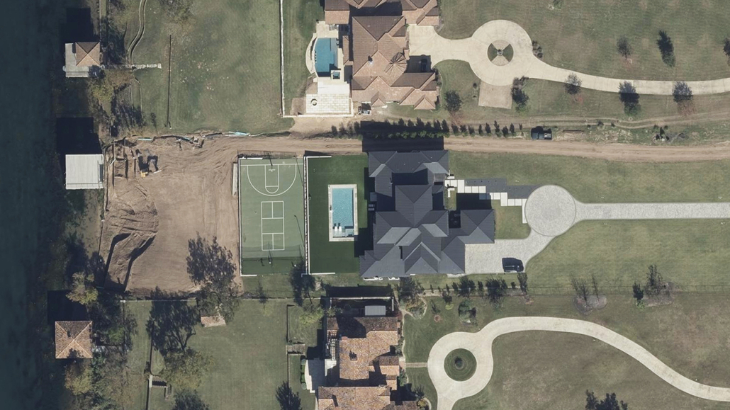
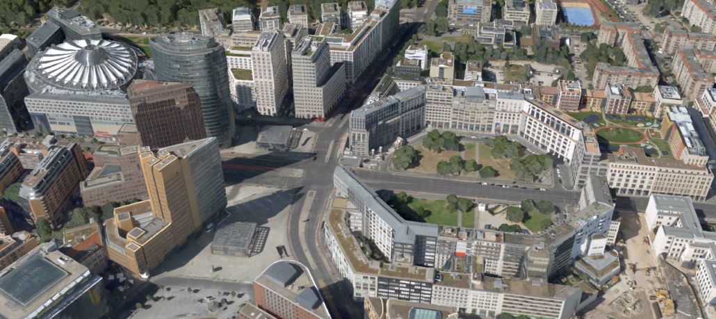
GSD Gives You Greater Seen Detail
Understanding the resolution in aerial imagery can often be something people speak about but maybe don’t quite understand. And if you’re unsure of why it matters, you won’t know why certain types of aerial imagery provide more benefits than others. This is why it’s helpful to understand the terms used to describe imagery and how you can better use them to evaluate options to choose from for your imagery needs.
When it comes to resolution, the term Ground Sample Distance (GSD) is used and refers to the distance between the centers of pixels in an image as measured on the ground. Why is it important? Because it defines the quality of the image and the detail you’re going to see when looking at said image. Pixels are the smallest unit of an image so the more pixels in an image, the more detail can be captured. This means that a lower GSD results in more pixels and a higher resolution which boosts the clarity and detail of an image.
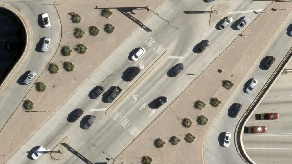
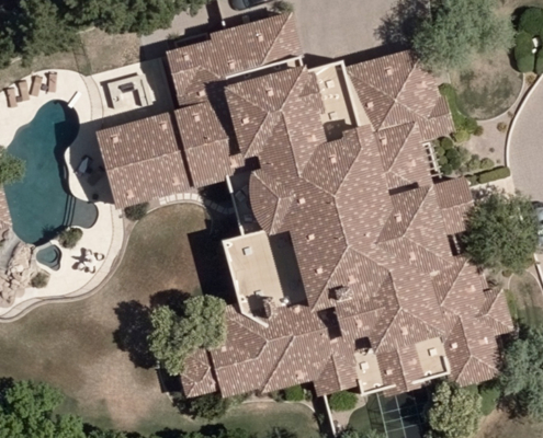
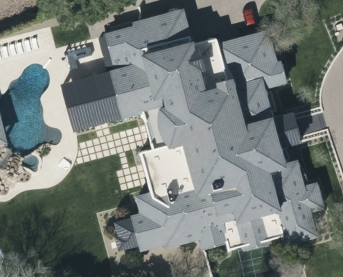
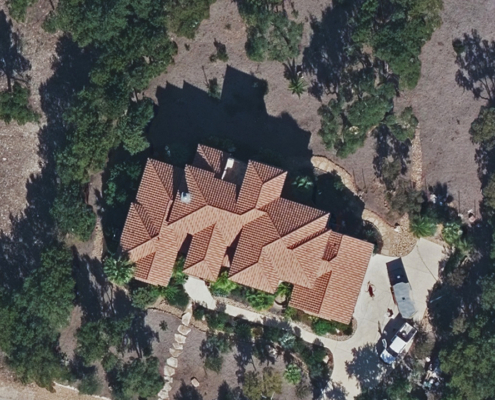
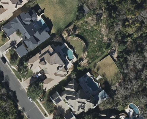
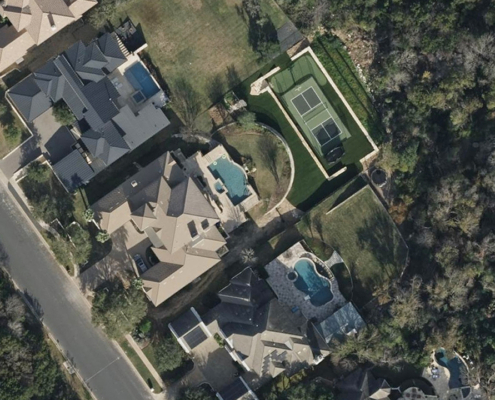
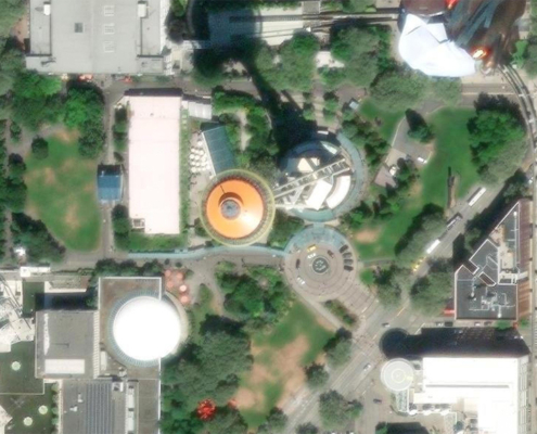
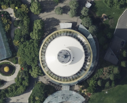
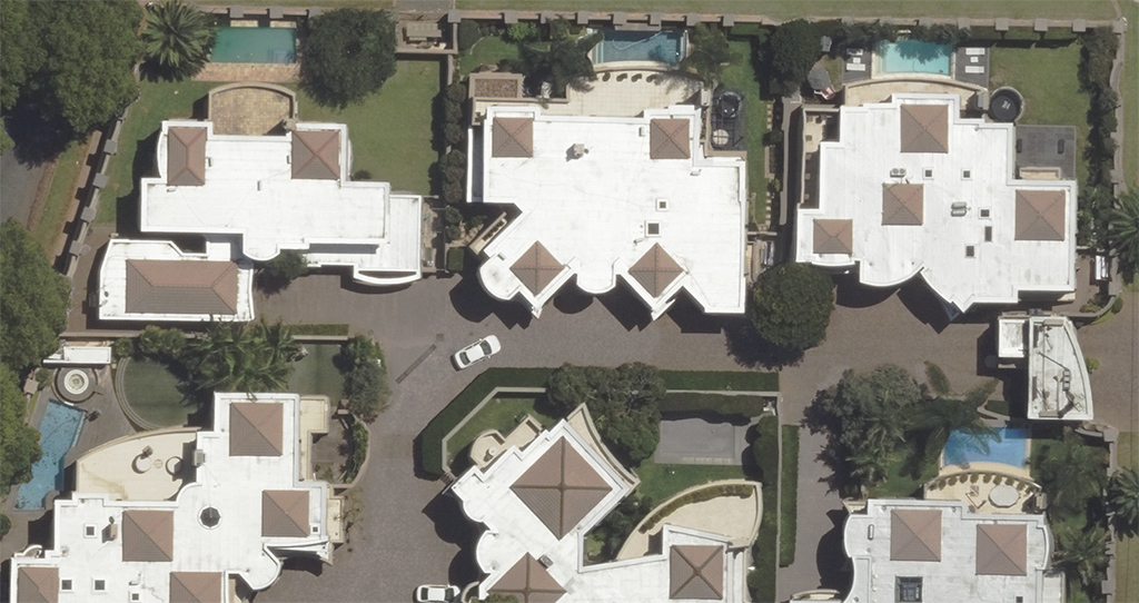
This graphic below shows how much the detail in an image can exponentially increase as the GSD decreases. Or vice versa, how much less data could be seen in an image with a higher GSD.
What’s important to remember is understanding the relationship between GSD and pixels. Always think of it in terms of smaller GSD = more pixels and more detail in an image, whereas a higher GSD reduces the amount of pixels and your ability to see detail with ease. And better GSD is enabled–or limited–by the sensor that captures the picture on the ground. More on that point below when it comes to the type of sensor Vexcel uses to capture imagery.
It’s all about the detail
The better the resolution, the better the information you can observe and extract from an image. The relationship between GSD and resolution determines the overall value and usability of aerial imagery in GIS applications. Plus, AI and machine-learning outputs are of higher quality when there are more pixels to analyze in an image. High-resolution imagery with a low GSD offers several benefits, including:
- Enhanced Feature Detection – Smaller features such as road markings, small water bodies, and individual trees can be accurately identified and analyzed, improving the accuracy of spatial analysis. Identify property attributes with ease like pools, roof condition, and more.
- Improved Change Detection – High-resolution imagery allows for enhanced monitoring of changes over time, essential for environmental studies and urban expansion analysis.
- Detailed Mapping – For applications requiring detailed mapping and surveying, such as HD mapping and utility management, high-resolution imagery is indispensable.
By selecting the appropriate resolution and GSD for specific projects, you can ensure your work is supported by imagery that meets the highest standards of accuracy and detail. Leveraging high-resolution imagery supports more reliable analyses, contributing to better informed decision-making in a variety of sectors, from government to utilities, transportation to telecom and beyond.

![VEX-555-GRA-Quick-Blog-Graphic_Red[75]](https://vexceldata.com/wp-content/uploads/2024/12/VEX-555-GRA-Quick-Blog-Graphic_Red75.jpg)
