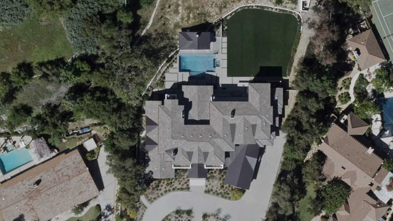
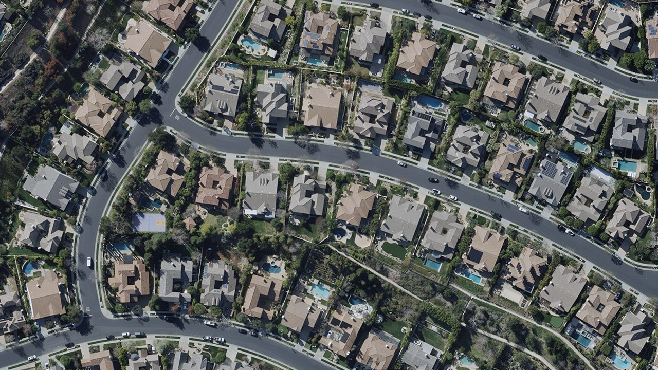
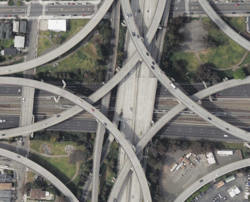
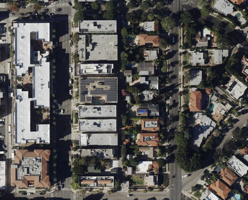
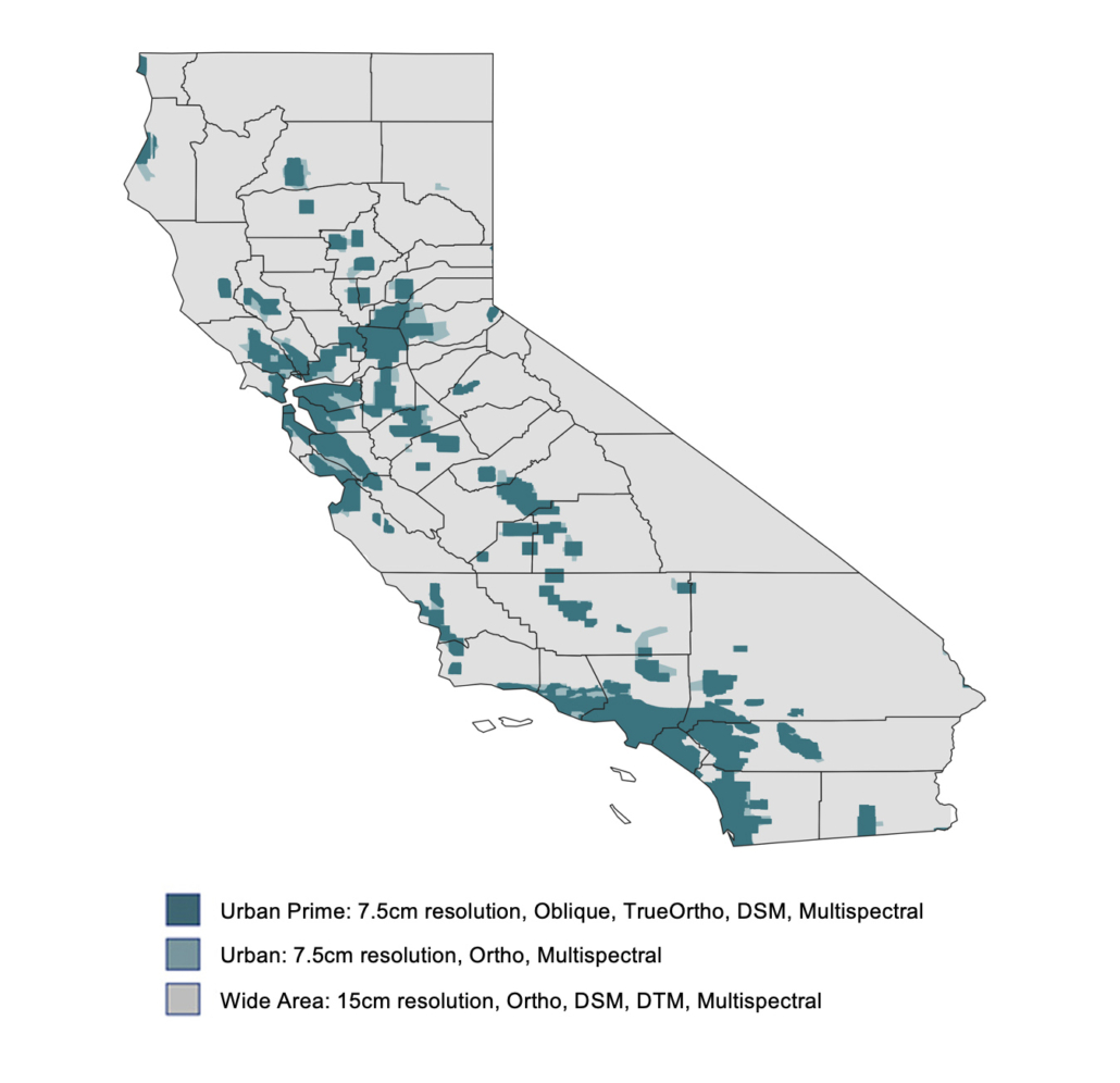
Vexcel offers high-resolution aerial imagery and geospatial data collected frequently across California. Explore our coverage map below. From major cities like Los Angeles, San Francisco, San Diego, and Sacramento to the Sierra Nevada mountains, Central Valley farmland, and coastal communities, our data supports urban and roadway planning, environmental analysis, property insights, wildfire assessments, and more.
58 counties
39 million population
7.5-15cm resolution
11.4 million buildings
Imagery & Geospatial Products for California
Orthomosaic Imagery
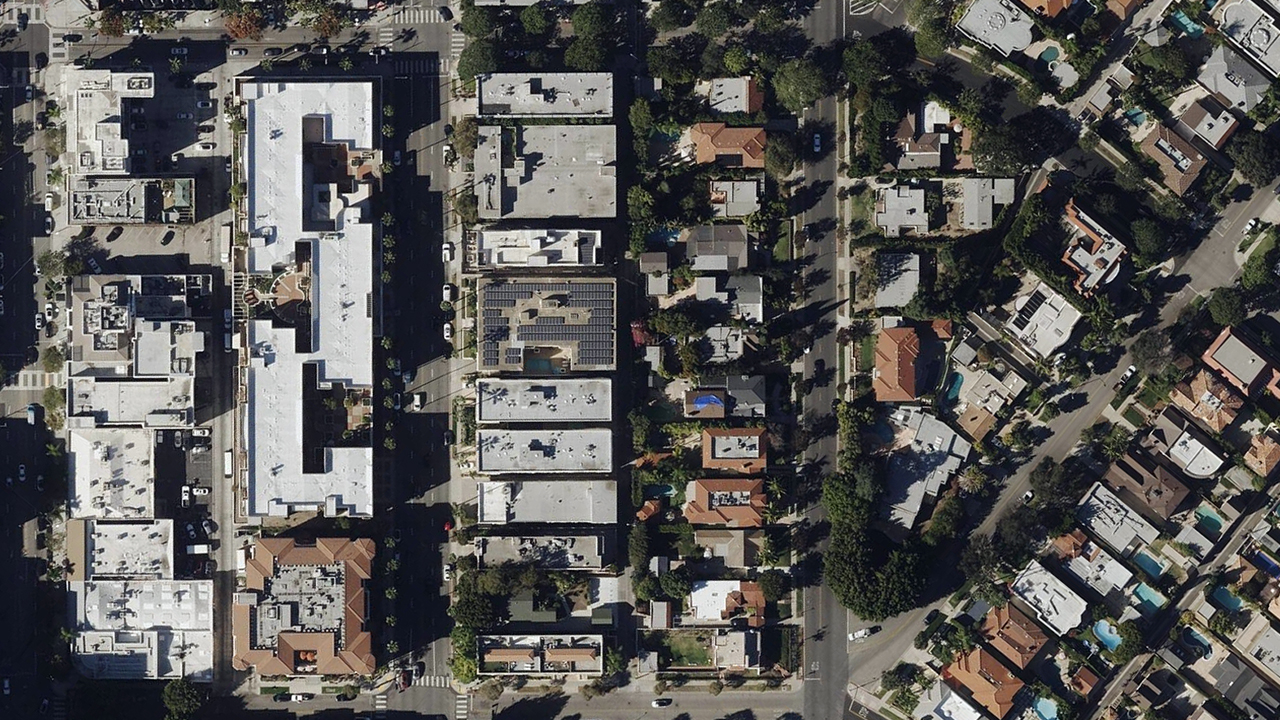
A detailed, top-down view helps you see an area at wide scale in rolling rural regions or in finely tuned pixels in densely populated metro areas. Wide Area Ortho is collected across the state at a resolution of 15cm. TrueOrtho is a finely calibrated view of urban areas at 7.5cm resolution with no building lean (parallax) or visible seamlines. And Urban Ortho provides an additional view of urban areas at 7.5cm resolution for more views in more places.
Oblique Imagery
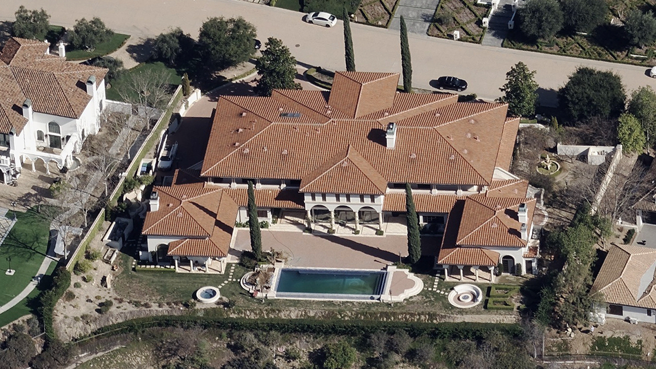
Shift your view with high-resolution Oblique imagery and take a virtual tour around all four sides of a home, building, or area. Improve your inspection or asset monitoring by identifying concerns or issues that wouldn’t normally be visible with a straight down viewpoint. Get greater context of a landscape using detailed Oblique imagery.
Elevate
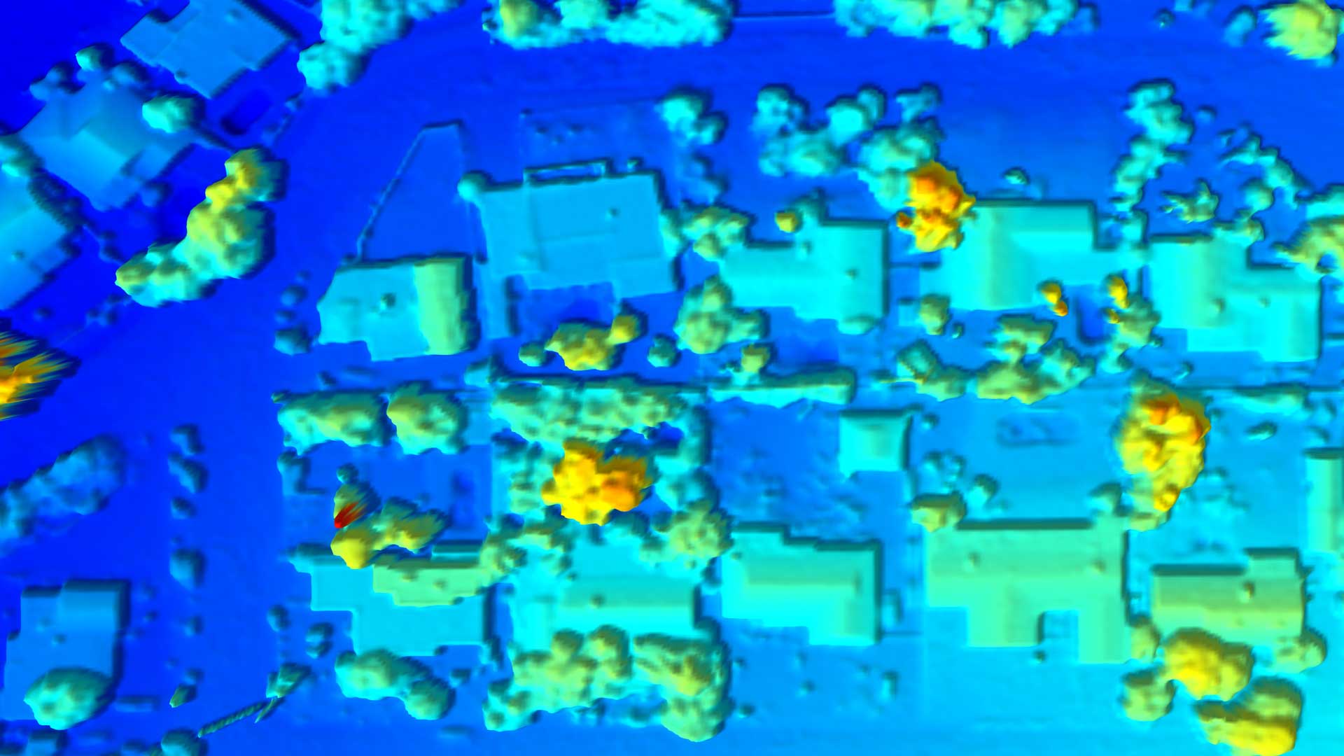
Elevate depicts 3D height information of the earth in high-spatial resolution across both urban and rural areas in California. Created during Vexcel’s aerial captures, customers get a real pixel-to-height data match with other Vexcel aerial products. The result: A perfect spatial alignment between elevation data and imagery for a more consistent and trusted accurate output.
Multispectral Imagery
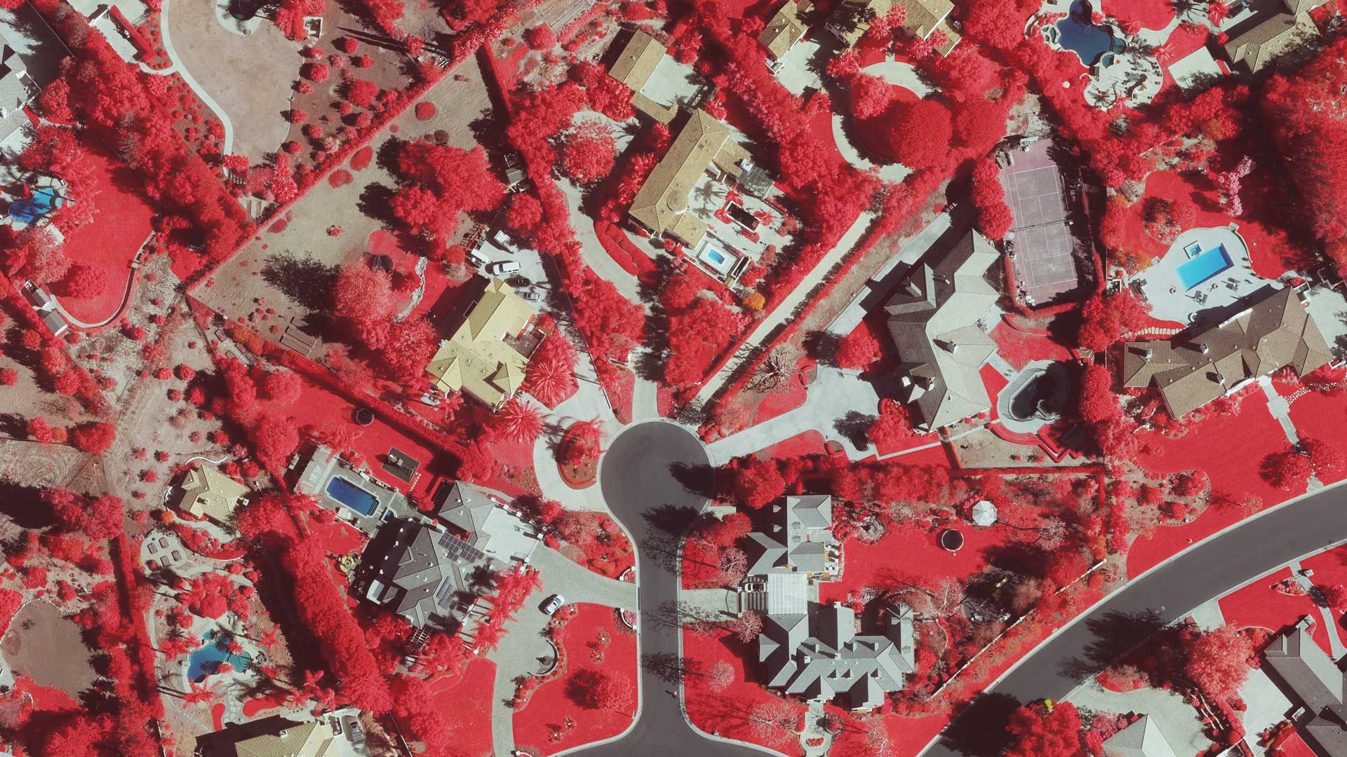
Using its market-leading UltraCam sensors, Vexcel collects a near-infrared color band while capturing aerial imagery of urban and rural areas in California. This wider color spectrum-invisible to the human eye-makes it easier to identify living and non-living objects. This type of data is ideal for classifying areas at risk for wildfire, or when reviewing areas post-disaster to quickly determine what vegetation is still living and what has been destroyed.
Gray Sky
Vexcel captures and processes disaster imagery, focusing on properties impacted after major disasters like the LA Fires. Providing timely access to post-catastrophe imagery enhances response efforts for emergency managers and insurers. This imagery and AI-derived damage assessments also support government agencies in understanding the full scope of impacted areas and tracking progress as communities rebuild.
Elements
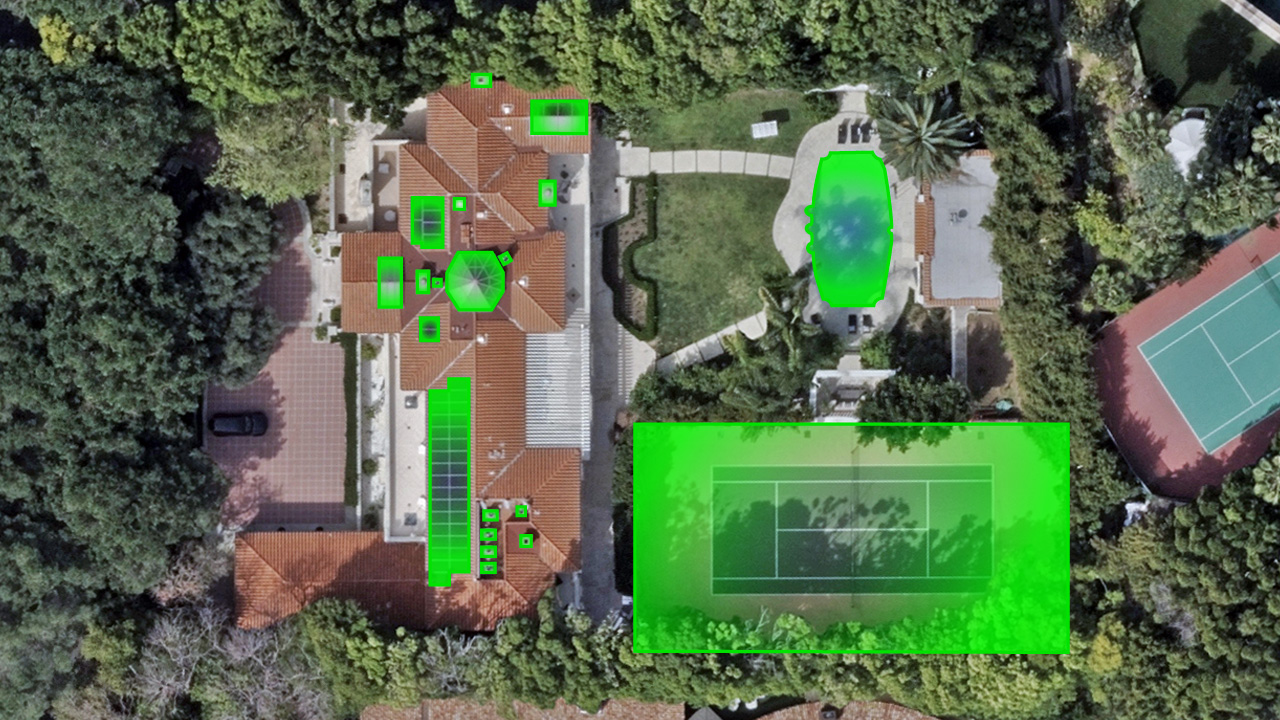
Enhance your property and building visualization with accurate, detailed, and quick property data from Elements, an entire product suite of automated insights. Machine learning is applied to Vexcel’s timestamped, high-resolution aerial imagery, and the output is 40+ property and building attributes in a matter of seconds. Plus, as new imagery is collected and published, Elements is updated so you can access the most recent property information. Help drive innovation across your organization with next level property and building detail all with the Elements suite. The Vexcel Elements product suite includes: Building Footprints, Building Attributes, Property Attributes & Property Reports, Damage Assessment & Damage Reports.


