High Resolution
Aerial Imagery for Alaska
See aerial imagery, elevation models, and property data for Alaska, covering Fairbanks, Anchorage, and Juneau.

See aerial imagery, elevation models, and property data for Alaska, covering Fairbanks, Anchorage, and Juneau.
Vexcel provides high-resolution aerial imagery, elevation models, and property information for Alaska’s three largest population centers: Fairbanks, Anchorage, and Juneau. Our detailed imagery supports urban development, infrastructure planning, environmental analysis, property assessments, and change detection across these key Alaska cities.
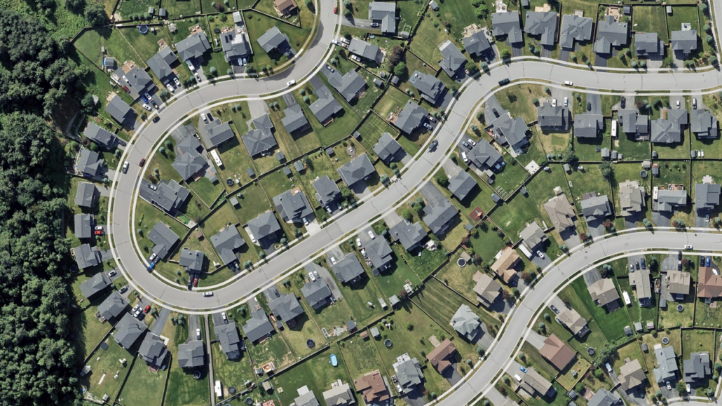
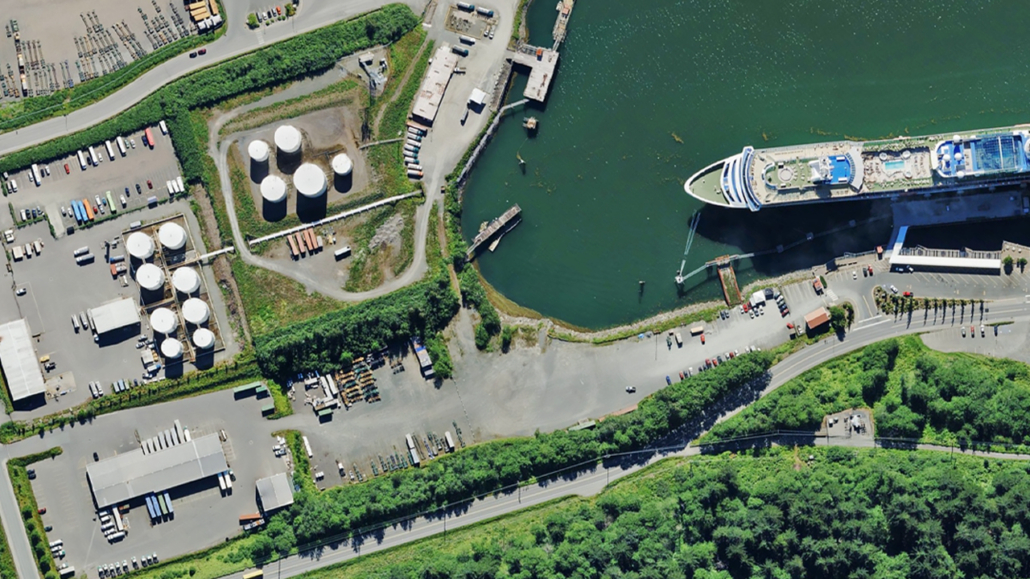
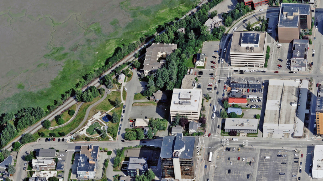
Get access to high-resolution, top-down views of Fairbanks, Anchorage, and Juneau to help you see these areas in rich definition.
TrueOrtho is published at 7.5cm resolution, offering detailed aerial imagery that’s ideal for urban planning and property assessments.
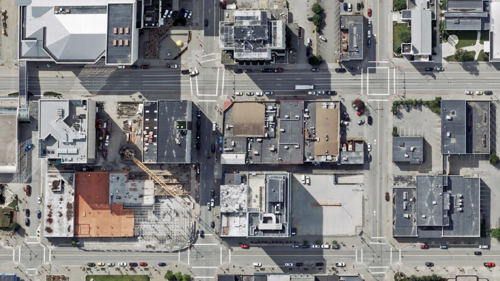
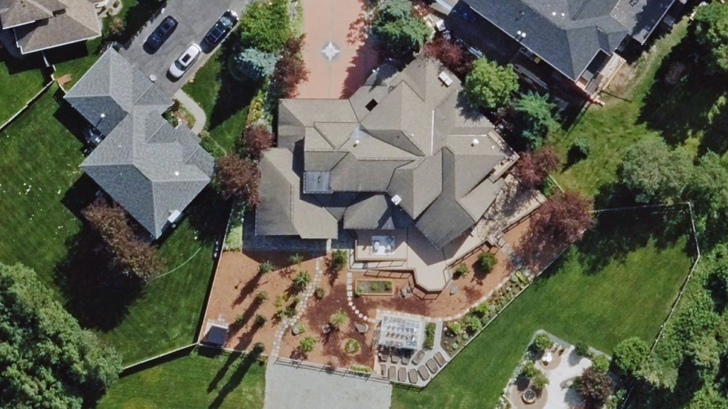
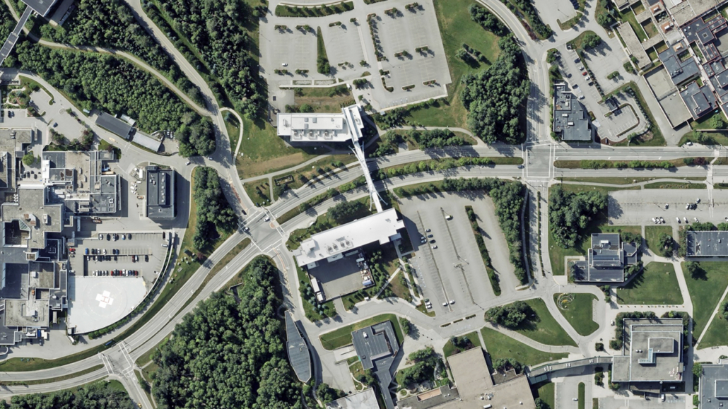
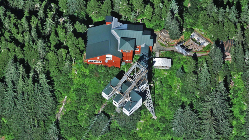
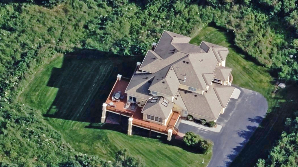
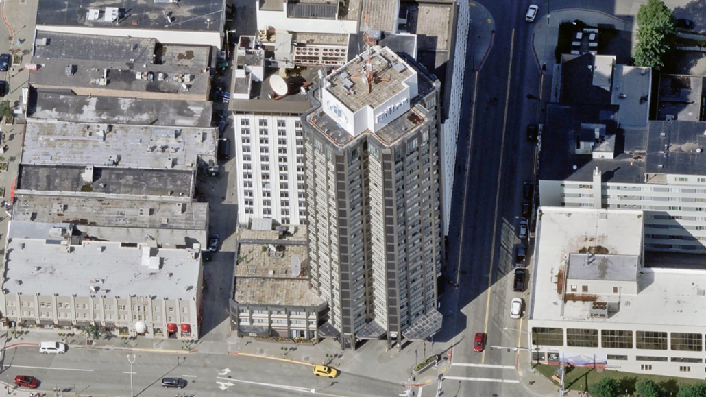
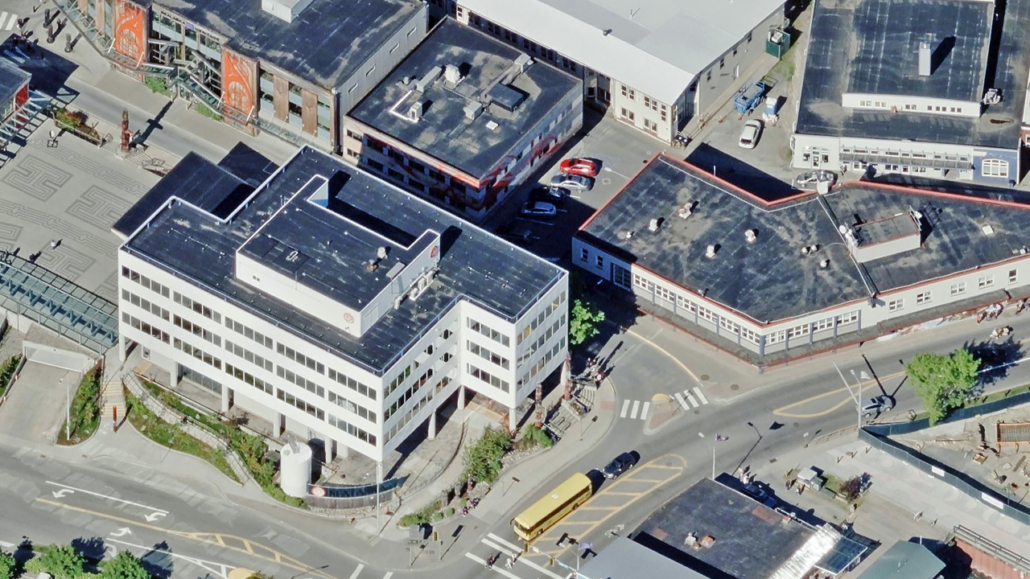
Improve your inspection or asset monitoring by identifying concerns or issues that wouldn’t normally be visible with a straight-down viewpoint.
See Fairbanks, Anchorage, and Juneau buildings from all four cardinal directions with 7.5cm Oblique imagery.
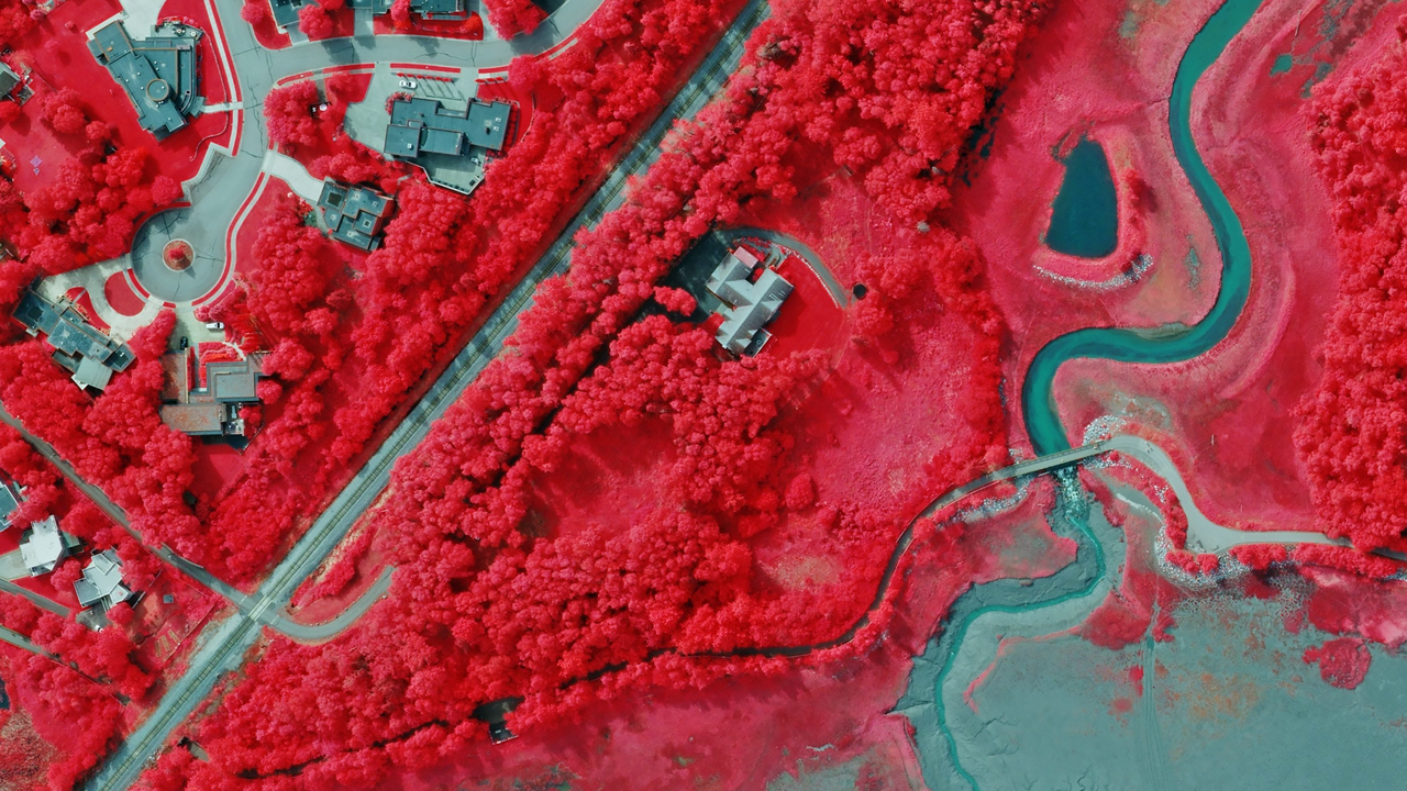
Using its market-leading UltraCam sensors, Vexcel collects a near-infrared color band while capturing aerial imagery in Alaska. This wider color spectrum — invisible to the human eye — is published as color-infrared imagery, making it easier to identify living and non-living objects.
This top-down imagery helps classify vegetation health, understand impervious surfaces, and more.
Choose how you want to work with Vexcel data in Fairbanks, Anchorage, and Juneau: use predefined attributes or find custom objects.
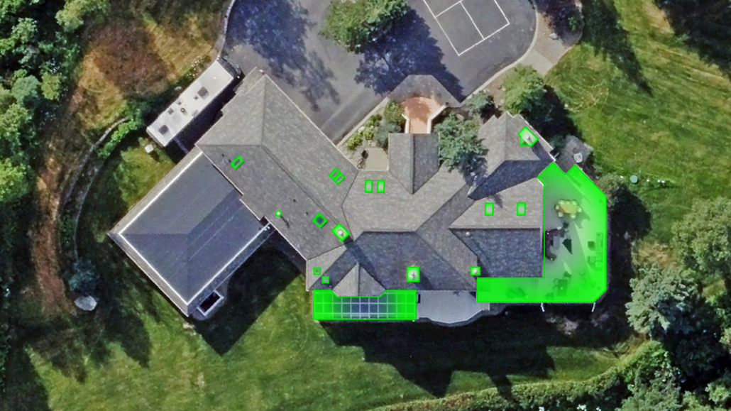
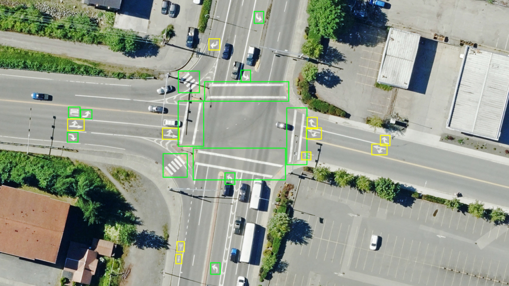
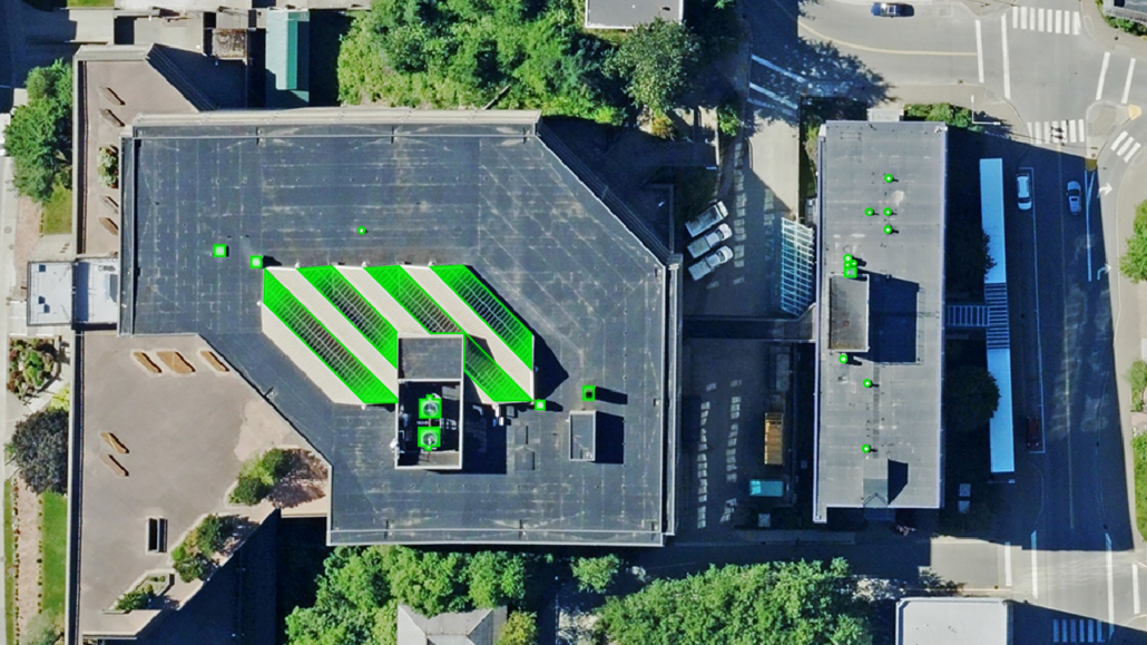
Access predefined attributes across Fairbanks, Anchorage, and Juneau. Explore building and property attributes, roof data, and property datasets; roadway features like crosswalks, curb ramps, and road text.
Elements: Building & Property: Building Footprints, Building Attributes, and Property Attributes & Property Reports, predefined across properties in Fairbanks, Anchorage, and Juneau.
Elements: Roadways: Roadway attributes extracted on demand from aerial imagery across Fairbanks, Anchorage, and Juneau.
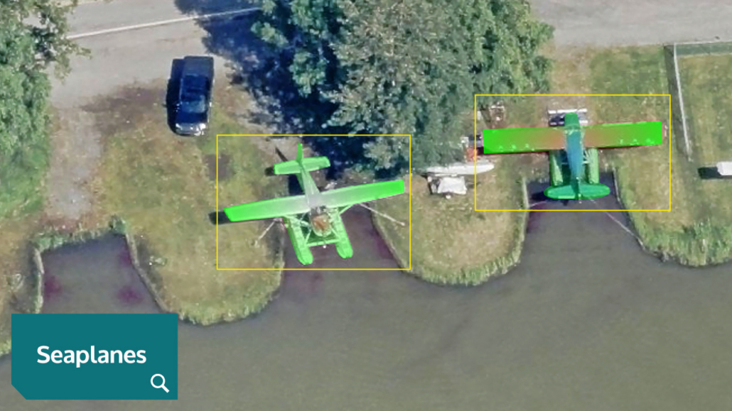
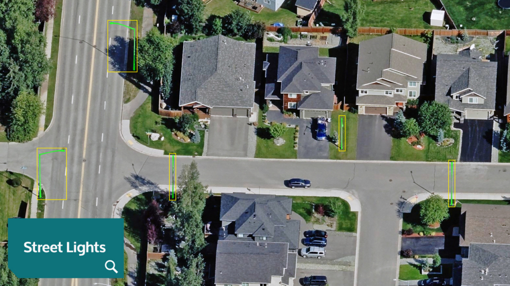
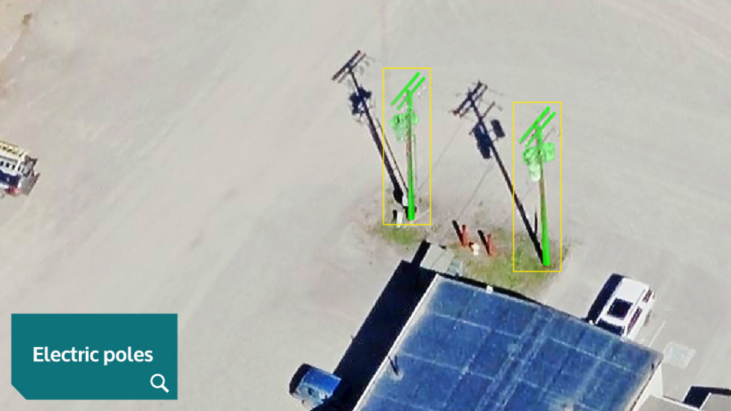
Identify an object or feature in Fairbanks, Anchorage, and Juneau. Custom Elements finds it, delivering ortho and oblique imagery of the object with a confidence score. Search seaplanes, street lights, electric poles, and more.
Q: How often is aerial imagery updated in Alaska?
Vexcel refreshes imagery in Alaska on a regular schedule as part of its national aerial imagery program, the largest aerial imagery program in the United States. In short, Vexcel refreshes more than 90% of the U.S. population annually.
You can view the company’s ongoing collection plans at: vexceldata.com/countries/united-states/ For the most up-to-date coverage in Alaska, please contact the Vexcel team at: vexceldata.com/request-a-demo/
Q: What resolution is Vexcel’s aerial imagery for Alaska?
Vexcel publishes 7.5cm aerial imagery focused on Fairbanks, Anchorage, and Juneau, including TrueOrtho, Oblique, and Multispectral imagery.


Large-format UltraCam cameras & sensors.
vexcel-imaging.com

Aerial surveys by fixed-wing aircraft.
kasurveys.com

Aerial imagery and data for government and business.
vexceldata.com