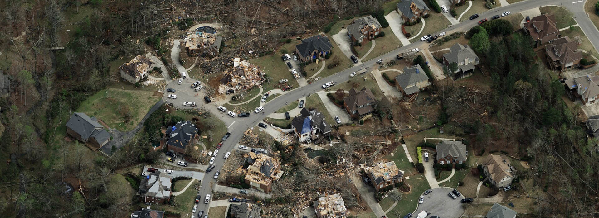
Get access to aerial imagery that is timely and accurate to improve emergency response In the aftermath of a hurricane, tornado, or wildfire, emergency managers and government agencies need situational information to help aid in their recovery and response efforts.
Vexcel collects aerial imagery of damaged properties after major natural disasters and can provide this critical data to government agencies.
Please fill in the form below to receive Gray Sky program notifications and more information on how to access imagery when available.


