This post originally appeared on GIC.org.
Together, Vexcel and GIC have fully aligned their strengths to streamline efforts and enhance innovation, while continuing to provide the high-quality aerial imagery and coverage that insurers trust.
This post originally appeared on GIC.org.
Together, Vexcel and GIC have fully aligned their strengths to streamline efforts and enhance innovation, while continuing to provide the high-quality aerial imagery and coverage that insurers trust.
Just before 8 p.m. on Tuesday, March 22, a fast moving tornado touched down in the New Orleans’ Lower Ninth Ward and began devastating parishes. Several houses collapsed and many were pulled right from their foundations. It moved into eastern New Orleans and the St. Bernard Parish, areas that were also hard hit by 2005’s Hurricane Katrina.
As of Wednesday morning, thousands of homes and businesses were without power and two deaths from this catastrophic event were reported. Debris covers multiple areas and emergency managers and contractors are moving quickly to help those in critical need.
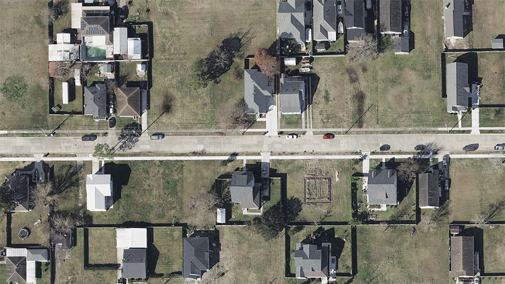
Our planes were able to quickly get in the air Wednesday morning and begin collecting the areas most heavily impacted by the tornado. GIC members are able to access this imagery online via Viewer to remotely inspect and better assess damage to their customers. Below is a gallery of images showcasing the devastation, including some before/after comparisons.


You can learn more about how the GIC captures Gray Sky events here. No one captures more disasters than the GIC. To request access to imagery from the New Orleans tornado or other imagery, please fill out our contact form below.

 Gray Sky Event: Tornado Pummels Arkansas