Gray Sky: Houston Area Tornadoes
Tornadoes & Gray Sky Activation
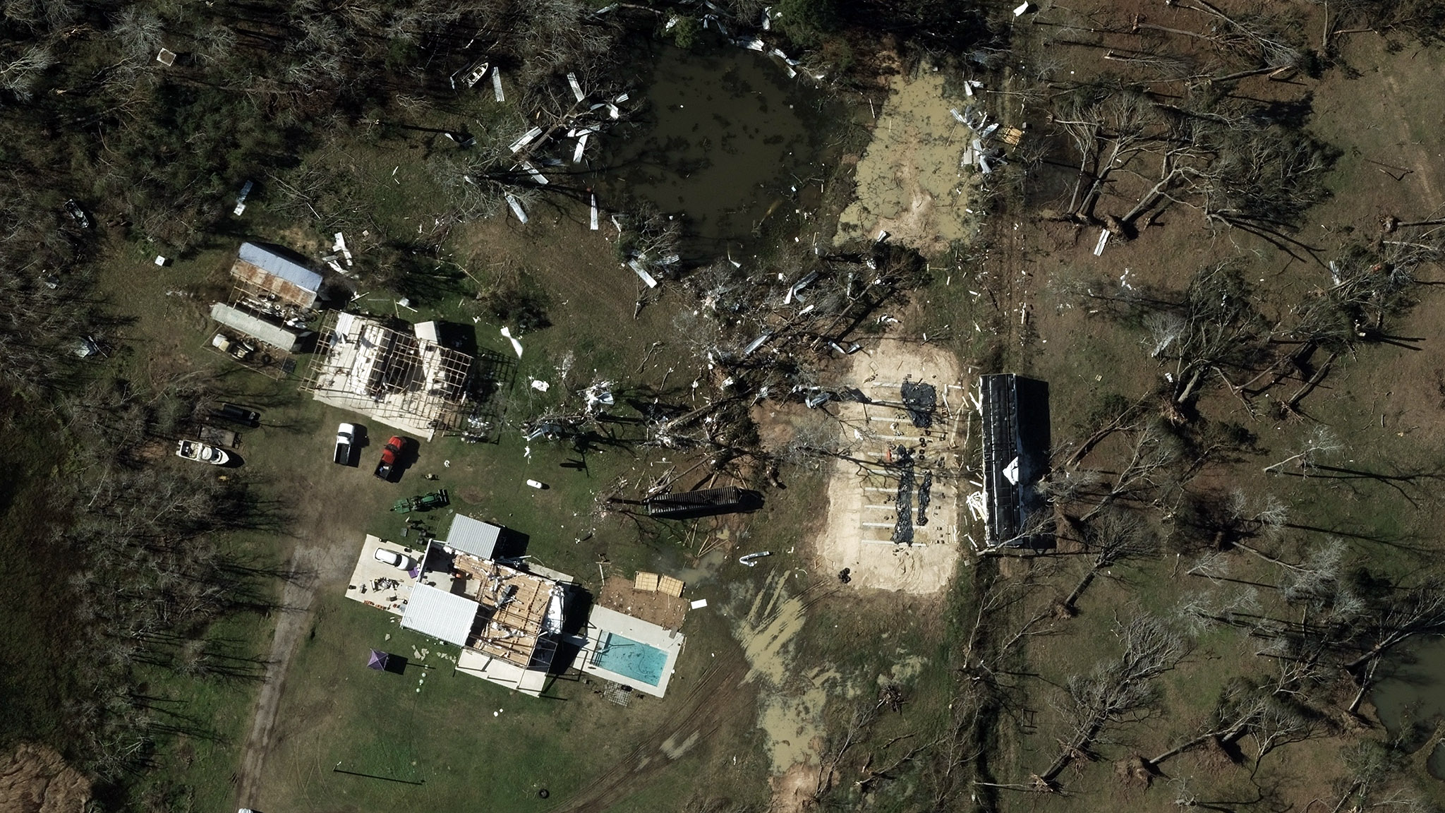
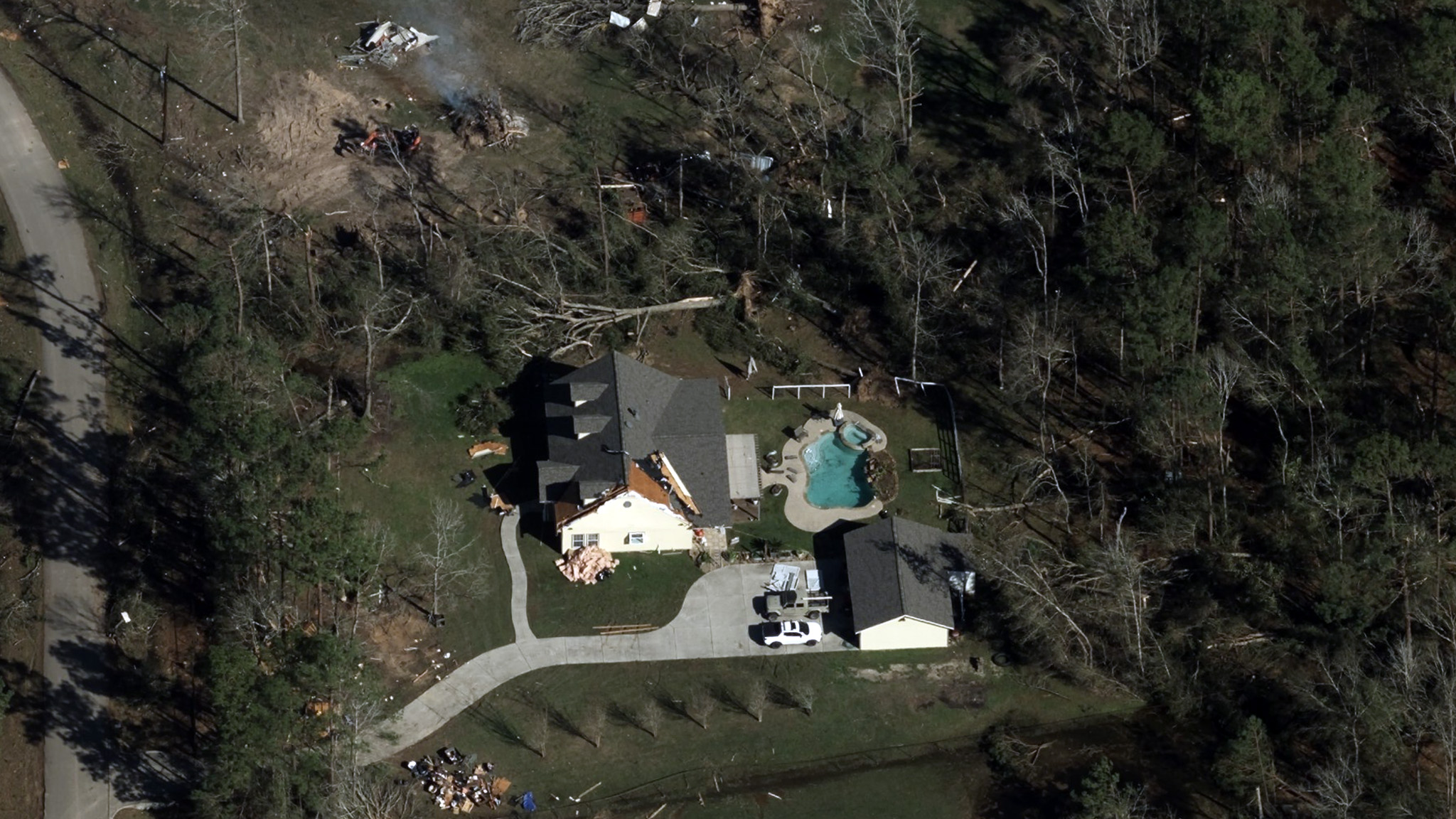
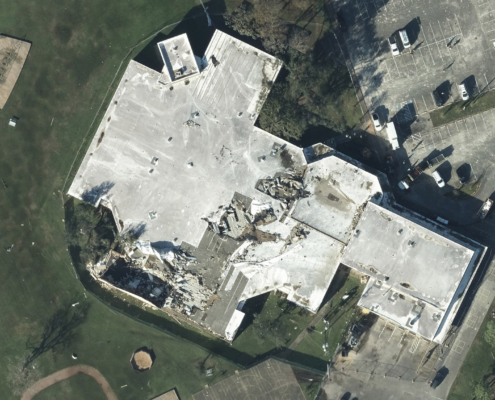
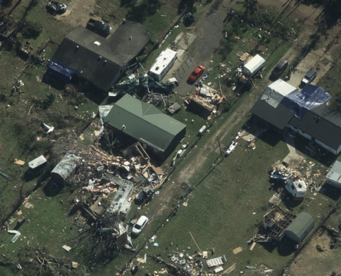
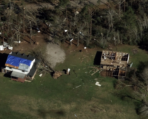
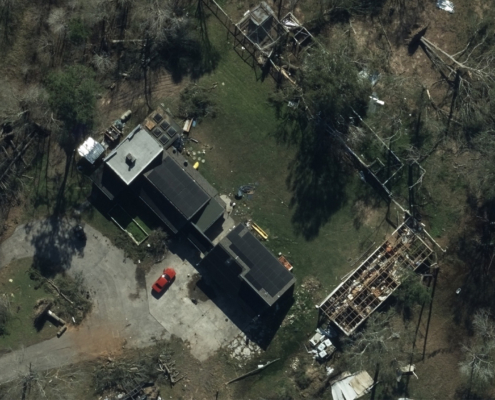
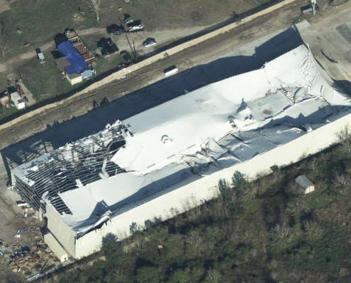
On Saturday, December 28, 2024, a series of EF2 tornadoes swept through areas near Houston, TX, causing widespread property damage. In response, Vexcel’s Gray Sky team was fully activated to assess and collect aerial imagery in the impacted areas. By Monday, our crew completed its missions, capturing high-resolution aerial imagery of areas with significant property damage both north and south of Houston’s city center.
Imagery Now Available
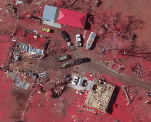
Oblique, ortho, and multispectral imagery at a 7.5cm resolution is now available on the Vexcel Platform and select partner sites. Before imagery collections are also available for comparison, helping insurers, emergency managers, utility managers, and others better understand the extent of the tornado damage.
Damage Assessments
Color-coded damage footprints and assessments are available for properties within the Gray Sky collection areas.
Request Access
Our thoughts are with the communities affected by these devastating tornadoes. Please let us know if you need imagery for your response and recovery. Fill out our contact form below.

