How Aerial Imagery Powers Digital Twins
Take a look at the world around you and see how much has changed and is changing at a steady pace. Urban areas are developing at a rapid rate, so much so that urban land area is projected to more than double by 2060. This type of change presents a challenge to developers on how to prepare and plan for the future. What are they using to help manage this population explosion? Digital twins, a necessary tool to support quality decision-making. But what is powering the information inside these digital twins to help them model and visualize a more accurate environment to play out future scenarios?
High-resolution Aerial Imagery Delivers Details
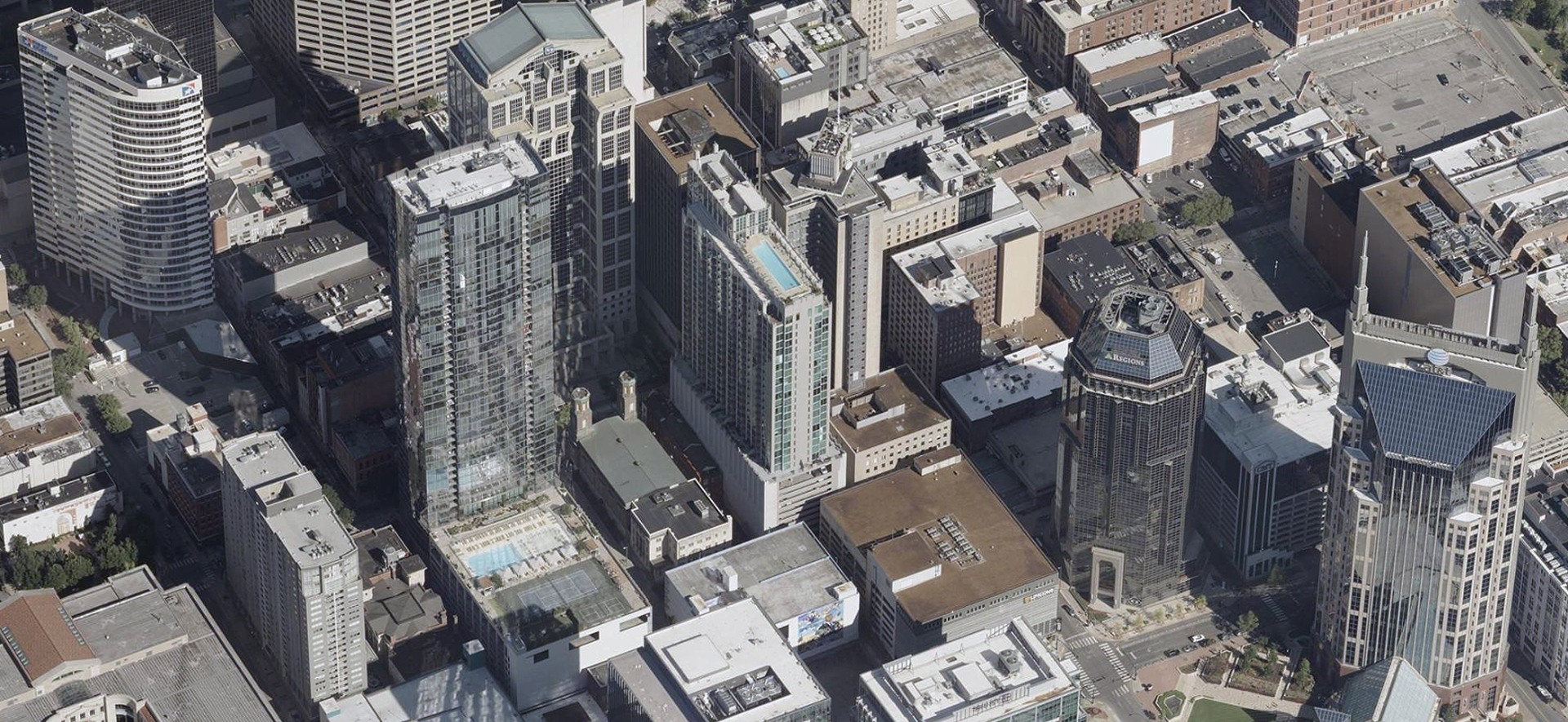
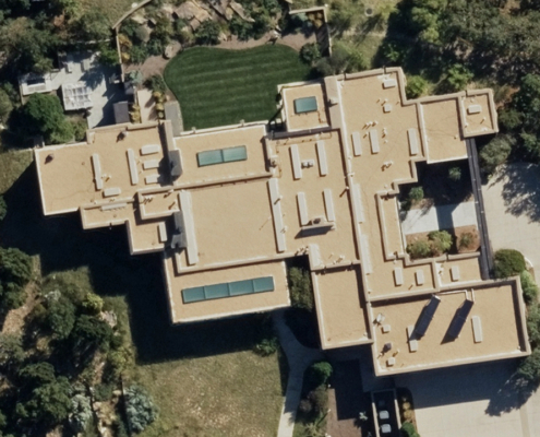
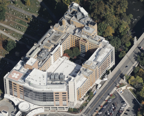
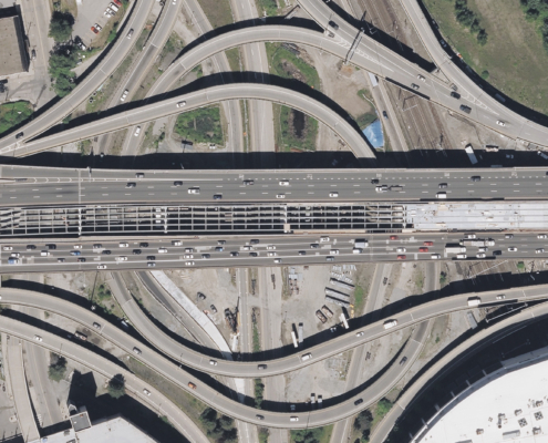
Creating a mirror of the built world around us involves pulling the data and details of the environment in which we live. High-resolution aerial imagery is a foundational layer for creating detailed and accurate digital twins. It offers a more comprehensive understanding of the real world beyond satellite imagery and allows for more precise modeling of terrain, structures, and other built features. Without this level of information, developers and planners for industries like urban planning, infrastructure management, telecom, and even environmental monitoring are left trying to fill in the gaps instead of having a realistic model built from imagery captured by elite calibrated sensors. When you use the best data possible for creating powerful digital twins, you get better results in your project planning.
The Rise of the Digital Twin
The explosion in use of digital twins in the last several years is not exclusive to just one or two industries; it has become an almost universal tool for multiple industries. Some of the biggest drivers for this usage is that software solutions have made it easier for planners to model digital twins. The processing power is more efficient and, as mentioned above, the access to imagery to create detailed, immersive digital twins is better with quality data.
Another main reason usage of digital twins has erupted is that these virtual replicas of the physical environment, these reality captures, have become essentially indispensable for solving basic and complex problems. Whether they are being used to accelerate innovation by visualizing future infrastructure and terrain, or building consensus around how to tackle issues, digital twins have become a foundational dataset, and how they are built does matter.
Ways that digital twins can help solve or address issues include:
- Building construction and expansion – understanding impact to surrounding infrastructure and roadways to create least disruption
- Monitoring assets – creating a digital twin to determine health of asset and when a breakdown or threat could occur
- Environmental threats – model conditions that could be hazards and create action plans to prevent serious harm
- Transportation – building of roadways to determine flow of traffic and how it impacts a community
The Right Data for Creating Digital Twins
The challenge to finding the right data to build your digital twin comes down to knowing where to look for imagery. As mentioned, having access to detailed, high-resolution aerial imagery will help you see the information necessary to properly create a digital twin that contains the information needed to better mirror the real world. The more accurate and comprehensive your underlying data is, the more complete your digital twin becomes.
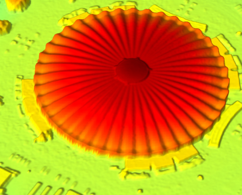
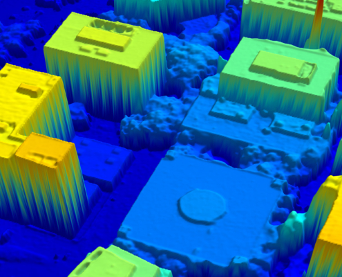
Satellite imagery, while broad in coverage, lacks the higher resolution of airplane-collected aerial imagery. Satellite imagery has a 30cm resolution while aerial imagery, like Vexcel’s, delivers crisp 7.5cm resolution for the finer details needed on and around structures. Drones, while highly detailed in resolution, are hampered by broad coverage and are typically relegated to smaller areas of delivery. Vexcel has over 6,000 U.S. cities in high resolution for building digital twins with its TrueOrtho, DSM, and Oblique data, all at 7.5cm resolution. It’s nationwide mapping of the largest metro areas to fuel digital twin creation all at your fingertips, not to mention Ortho imagery from coast-to-coast as well.
No need to spend excess time searching for the right image solution when you can search for what you need—and want—with a single provider.
In addition, Vexcel partners with common platforms and software solutions such as Esri, Skyline, Cesium, and others, to ensure developers and planners have access to quality imagery and data wherever you look to create your digital twins.
3D-ready Content
For those ready to jump right into an immersive environment without building a digital twin entirely from scratch with high-resolution imagery, Vexcel provides ready-to-go, off-the-shelf 3D models. These textured mesh 3D datasets offer up realistic views for more than 65 major metro areas, helping viewers see every commercial building, road, and property, from the city center all the way out to the suburbs. Fly through cities with ease and from all angles to get the views and environmental understanding needed for project planning needs.
Aerial imagery is powering the creation of digital twins by providing a level of detail, accuracy, and resolution to mirror the real world with confidence. Whether it’s planning the next urban expansion, maintaining essential infrastructure, or addressing network capacity, aerial imagery and digital twins are a critical combination to removing the roadblock of finding the right foundational layer to build with and drive innovation, becoming universal datasets for making decisions collaboratively across teams.
Vexcel is setting the standard for accessibility and utility in making digital twins more powerful for your use. Schedule a demo with one of our team to learn more about our imagery and data and how it can support your digital twin needs.

