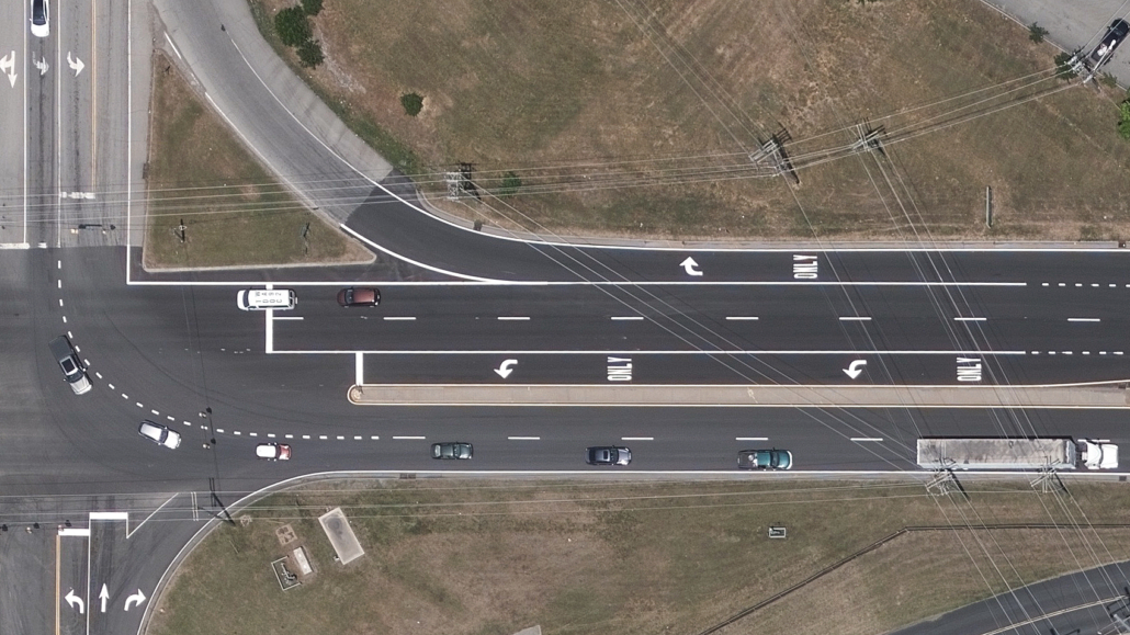
How the Tennessee State Government is Using High-Res Aerial Imagery to Streamline 911 Response
As the world continues to battle the long-term effects of the coronavirus and its accompanying variants, the focus on public safety–especially in regards to 911 response–has only continued to grow. Being able to deploy fire and emergency management or law enforcement in a timely manner to distress calls is critical to improving public safety across municipalities large and small.
Tennessee State Government has long been using aerial imagery to supplement several processes across their GIS activities. Like many government entities, they’ve discovered how accurate, regularly refreshed imagery can play a crucial role in keeping their citizens safe. However, they were starting to learn that what they had been using to source their information was outdated and not keeping up with growing innovations.
Download the Use Case
Get the full story on how the Tennessee State Government decided to use Vexcel’s comprehensive data library to enhance their 911 response program, including:
- How they were able to support mapping platforms statewide
- How dispatch improved their emergency call response times
- What the impact has been by using Vexcel’s premium imagery
Fill out the form to learn more!


