Gray Sky: Tulsa, Oklahoma Area Tornado

Monday, March 9
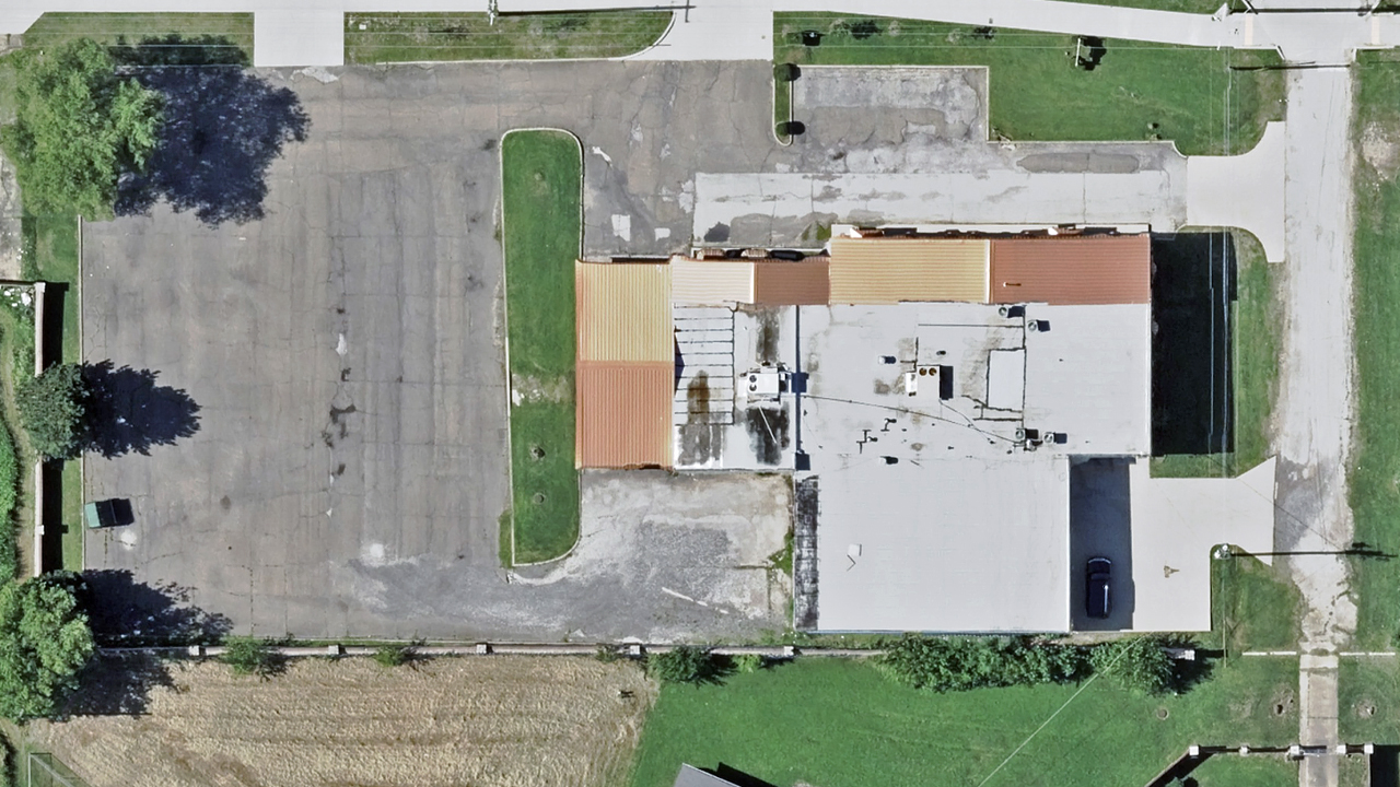
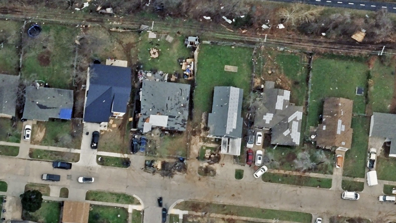
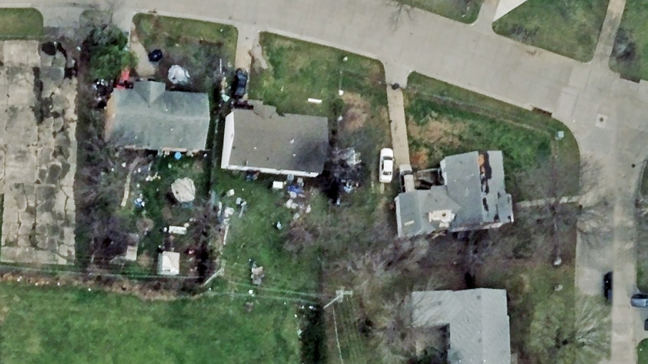
High-resolution ortho imagery (10cm resolution) is now published of impacted properties north of Tulsa, Oklahoma. The imagery shows damage to residential and commercial buildings along the tornado’s path. Imagery was collected on Saturday and is now available in the Vexcel Platform and on select partner sites.
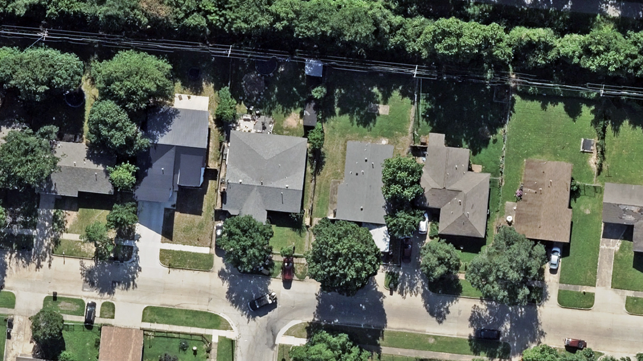
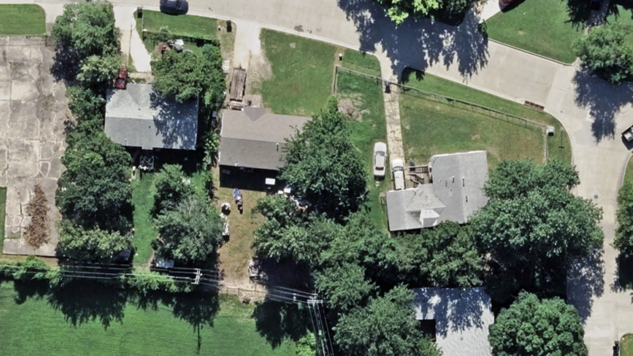
In addition, our imagery library includes coverage of this area dating back to 2019, with the most recent collection from early February 2026. This helps customers compare before and after imagery to better understand the extent of damage.