Safer Communities Through Smarter Data
How Aerial Imagery Helps Communities Prepare and Plan with Greater Confidence
Every community wants to feel secure, whether that means knowing emergency responders can reach a home quickly, that a crowded festival is carefully planned, or that neighborhoods are prepared for the next major storm. Safety doesn’t happen by chance; it requires foresight, planning, and access to reliable information.
That’s where aerial imagery and geospatial data come in. These tools give public safety officials, transportation leaders, and emergency managers a broader, clearer perspective, helping them prepare for the unexpected and design safer outcomes for everyone.
The Role of Planning in Safer Communities
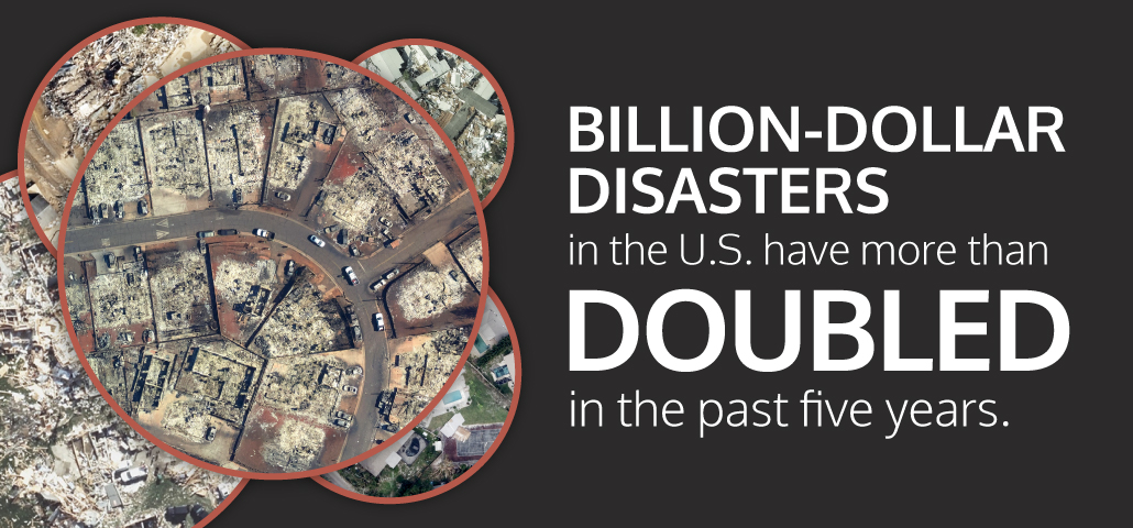
Public safety is strongest when it’s proactive. Communities are better protected when risks are anticipated, whether designing evacuation routes, staging resources, or planning for large gatherings. Disasters are also becoming more costly and frequent: the National Oceanic and Atmospheric Administration (NOAA) reports that the number of billion-dollar events in the U.S. has more than doubled in the past five years [NOAA, 2024]. At the same time, the U.S. Fire Administration notes that fire departments respond to an emergency roughly every 23 seconds nationwide [USFA, 2023]. These realities underscore the importance of situational awareness, giving officials the insights to prepare in advance, allocate resources wisely, and reduce risks before emergencies escalate.
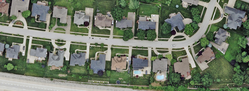
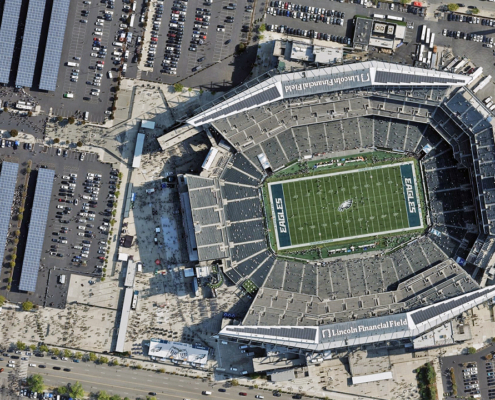
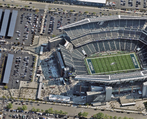
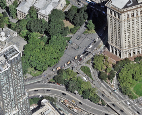
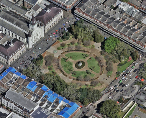
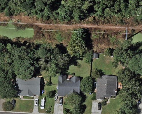
Aerial imagery provides a perspective that’s impossible to match from the ground. Vexcel’s high-resolution Ortho imagery, Digital Surface Models (DSM), and Oblique views help officials look at entire communities with clarity. This supports preparation in three critical ways:
- Understanding the environment: Ortho and Oblique imagery reveal how neighborhoods, open spaces, and infrastructure fit together.
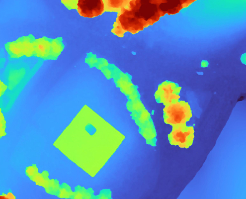
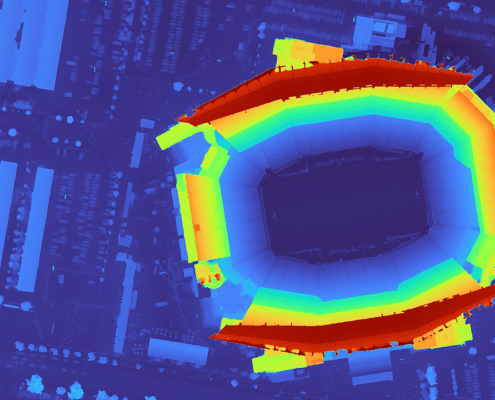
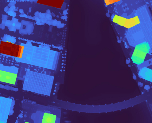
- Analyzing line-of-sight: DSM data shows how terrain and structures affect visibility, crucial for public events or security planning.
- Tracking change over time: Historical imagery provides a baseline to see how communities grow, helping planners adjust strategies as conditions evolve.
Safer Communities in Practice
Preparing for Emergencies
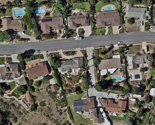
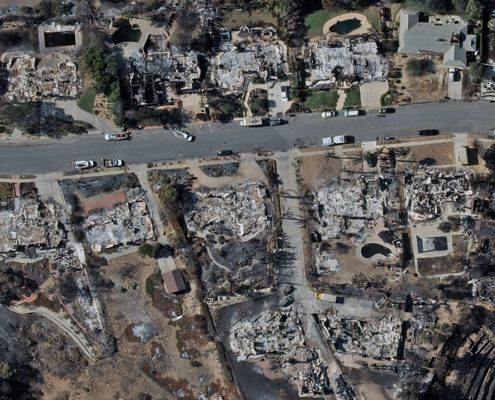
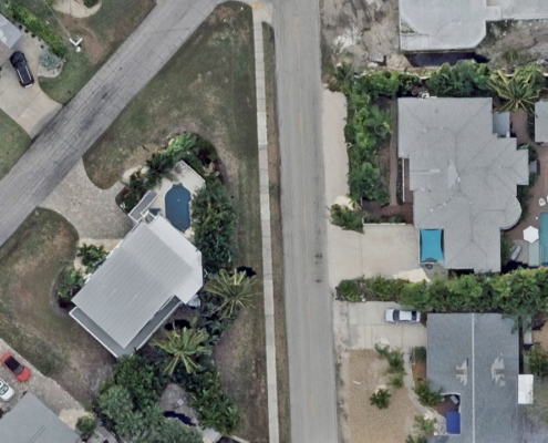
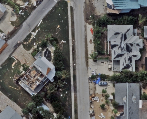
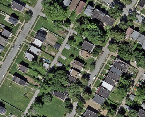
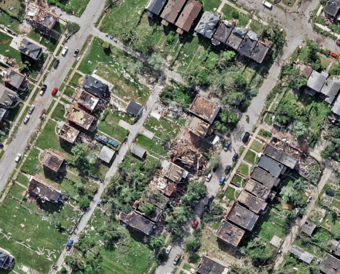
Emergency response is faster and more effective when planning is built on accurate data. By using aerial imagery to map neighborhoods, identify access points, and highlight potential obstacles, communities can refine their 911 response strategies. When disasters do occur, Vexcel’s Gray Sky imagery provides needed views to assess damage, ensuring response teams know the impact of a catastrophe and where help is needed most.
Planning Public Events
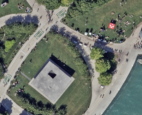
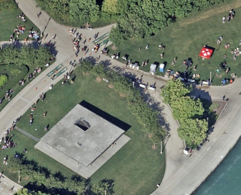
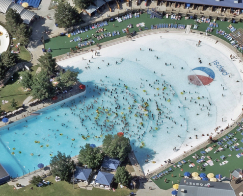
From parades to marathons to outdoor concerts, large gatherings transform everyday streets into complex, temporary venues. For safety officials, understanding how people and vehicles move through these environments is essential. With high-resolution Oblique imagery and Digital Surface Models (DSM) from the Vexcel, planners can clearly see roadways, sidewalks, and access points to design safer, more efficient layouts.
These visuals reveal more than just space—they expose risk. By analyzing line-of-sight, teams can identify blind spots caused by trees, structures, or temporary stages and plan optimal camera and command post locations. Equally important, imagery helps determine where to open and where to block access routes, ensuring vehicles stay separate from pedestrian zones and emergency pathways remain clear.
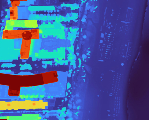
When crowds swell, movement patterns can shift unexpectedly. Using DSM data, planners can detect choke points, model crowd flow, and prevent congestion before it starts. The result: smarter event design, faster coordination among agencies, and safer streets for everyone.
Building Resilience Against Disasters
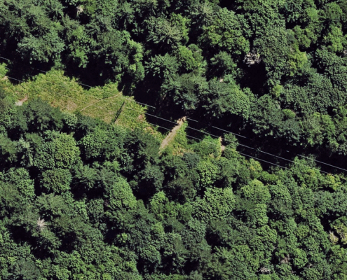
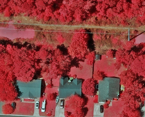
Flooding, hurricanes, and wildfires leave little time to react. DSM data helps model floodplains, showing where water is likely to collect, while high-res Multispectral imagery can reveal where vegetation is encroaching on powerlines or critical infrastructure. With these insights, communities can take preventive measures, strengthen resilience, and be better prepared when severe weather strikes.
Measurable Advantages of Preparedness
When officials plan with accurate, consistent data, the results are measurable:
- Shorter response times thanks to optimized routes.
- Improved safety protocols at public events through better visibility and crowd planning.
- Smarter use of resources by directing personnel where they’re needed most.
- Increased public confidence when citizens know planning is based on reliable, transparent data.
How Vexcel Supports Safer Communities
Creating safer communities starts with preparation, and preparation starts with trusted data. Vexcel delivers imagery and geospatial products that give public safety officials a clear, reliable view of their communities. From Ortho and Oblique imagery to DSM elevation data and AI-driven analytics, every layer is designed to enhance planning and situational awareness. With broad coverage and frequent updates, agencies can move from reacting to anticipating, using Vexcel’s data as a foundation for stronger safety protocols, smarter event planning, and faster, more coordinated emergency response.
Better Preparation Starts with Better Data
Safety begins long before the call for help. It starts with preparation: mapping risks, designing smarter responses, and planning with accuracy. Vexcel’s aerial imagery and geospatial data equip communities with the tools they need to anticipate challenges and build resilience.
By helping leaders see more clearly and plan more effectively, Vexcel supports the shared goal of every community: to create safer places to live, work, and gather.

